6515 SW South Pointe Dr Auburn, KS 66402
Estimated Value: $480,903 - $543,000
4
Beds
4
Baths
2,751
Sq Ft
$189/Sq Ft
Est. Value
About This Home
This home is located at 6515 SW South Pointe Dr, Auburn, KS 66402 and is currently estimated at $518,726, approximately $188 per square foot. 6515 SW South Pointe Dr is a home located in Shawnee County with nearby schools including Auburn Elementary School, Washburn Rural Middle School, and Washburn Rural High School.
Ownership History
Date
Name
Owned For
Owner Type
Purchase Details
Closed on
Jun 21, 2019
Sold by
Legault Leann M and Legault Robert P
Bought by
Mong Matthew and Mong Angela
Current Estimated Value
Home Financials for this Owner
Home Financials are based on the most recent Mortgage that was taken out on this home.
Original Mortgage
$299,250
Outstanding Balance
$263,114
Interest Rate
4.1%
Mortgage Type
New Conventional
Estimated Equity
$255,612
Purchase Details
Closed on
Feb 23, 2010
Sold by
Legault Robert P and Legault Leann M
Bought by
Legault Leann M and Legault Robert P
Create a Home Valuation Report for This Property
The Home Valuation Report is an in-depth analysis detailing your home's value as well as a comparison with similar homes in the area
Home Values in the Area
Average Home Value in this Area
Purchase History
| Date | Buyer | Sale Price | Title Company |
|---|---|---|---|
| Mong Matthew | -- | Lawyers Title Of Kansas Inc | |
| Legault Leann M | -- | None Available |
Source: Public Records
Mortgage History
| Date | Status | Borrower | Loan Amount |
|---|---|---|---|
| Open | Mong Matthew | $299,250 |
Source: Public Records
Tax History Compared to Growth
Tax History
| Year | Tax Paid | Tax Assessment Tax Assessment Total Assessment is a certain percentage of the fair market value that is determined by local assessors to be the total taxable value of land and additions on the property. | Land | Improvement |
|---|---|---|---|---|
| 2025 | $7,758 | $55,349 | -- | -- |
| 2023 | $7,758 | $48,482 | $0 | $0 |
| 2022 | $6,664 | $43,678 | $0 | $0 |
| 2021 | $5,784 | $39,349 | $0 | $0 |
| 2020 | $5,554 | $38,577 | $0 | $0 |
| 2019 | $5,394 | $37,820 | $0 | $0 |
| 2018 | $5,121 | $37,078 | $0 | $0 |
| 2017 | $5,048 | $36,351 | $0 | $0 |
| 2014 | $5,114 | $36,351 | $0 | $0 |
Source: Public Records
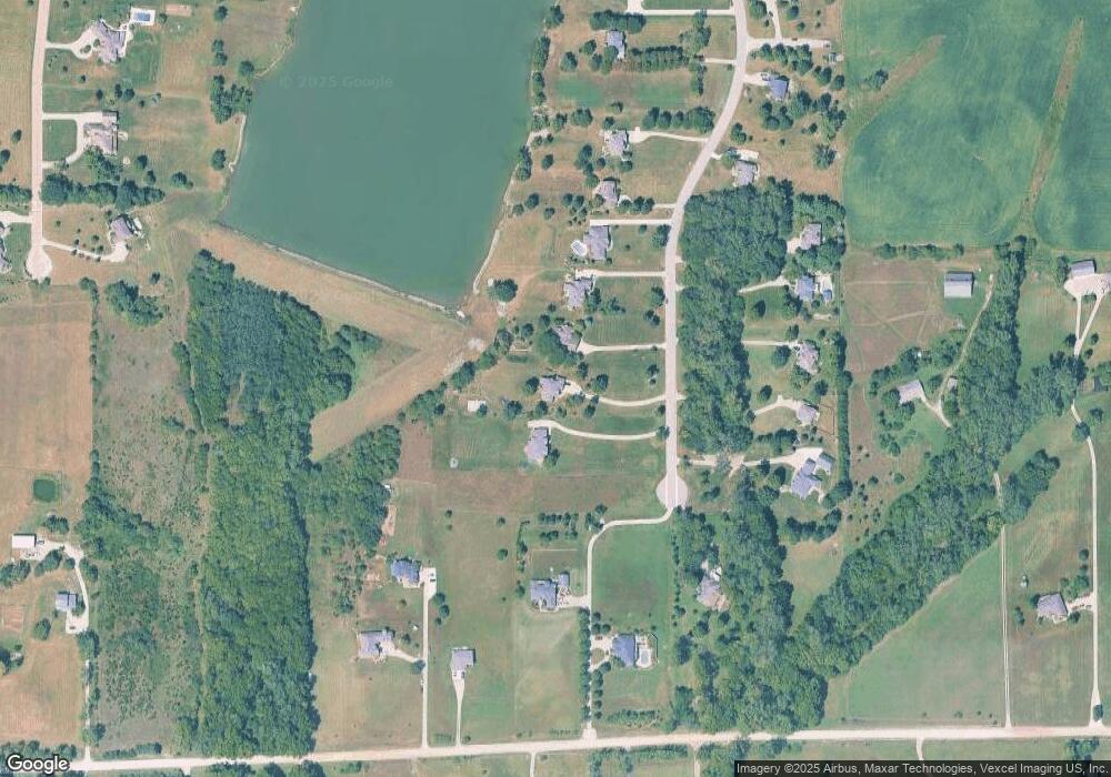
Map
Nearby Homes
- 6413 SW Bayshore Dr
- 8149 SW 61st St
- 4200 SW Auburn Rd
- 4300 SW Auburn Rd
- 6041 SW Auburn Rd
- 0000 SW Lincolnshire Cir
- 5726 SW 55th St
- 4200-4300 SW Auburn Rd
- Tract 2 SW 79th St
- Tract 3 SW 79th St
- 0000 SW 53rd St
- 1270 N Milton St
- 8618 SW 51st St
- 0000 SW Moundview Dr
- 6319 SW 46th Park
- 6326 SW 46th Park
- 6322 SW 46th Park
- 6334 SW 46th Park
- 6318 SW 46th Park
- 0005 SW 45th St
- 6525 SW South Pointe Dr
- 6501 SW South Pointe Dr
- 6443 SW South Pointe Dr
- 6433 SW South Pointe Dr
- 7240 SW 69th St
- 7320 SW 69th St
- 7310 SW 69th St
- 7238 SW 69th St
- 6600 SW South Pointe Dr
- 6522 SW South Pointe Dr
- 6510 SW South Pointe Dr
- 6413 SW South Pointe Dr
- 6530 SW South Pointe Dr
- 6446 SW South Pointe Dr
- 6420 SW South Pointe Dr
- 7324 SW 69th St
- 6434 SW South Pointe Dr
- 7300 SW 69th St
- 7130 SW 69th St
- 6345 SW South Pointe Dr