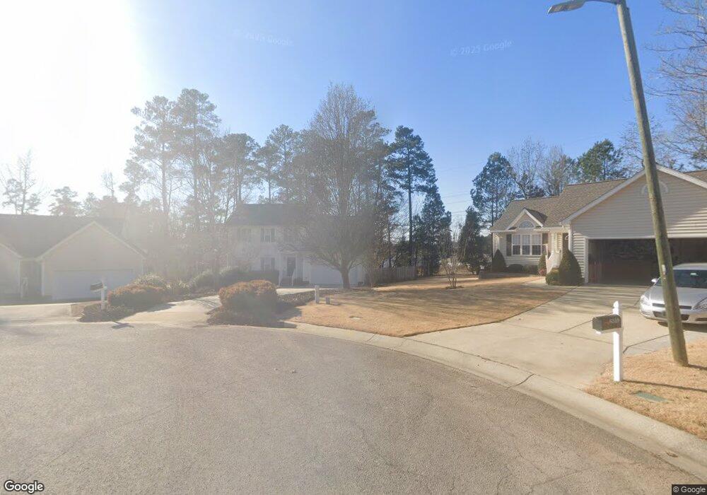
6517 Draebury Ln Durham, NC 27713
South Durham NeighborhoodEstimated Value: $476,000 - $501,000
3
Beds
3
Baths
2,001
Sq Ft
$243/Sq Ft
Est. Value
About This Home
This home is located at 6517 Draebury Ln, Durham, NC 27713 and is currently estimated at $485,625, approximately $242 per square foot. 6517 Draebury Ln is a home located in Durham County with nearby schools including Lowe's Grove Middle, Hillside High School, and Kestrel Heights School.
Ownership History
Date
Name
Owned For
Owner Type
Purchase Details
Closed on
Aug 26, 2004
Sold by
Williams Shela A
Bought by
Knight Pretlo
Current Estimated Value
Purchase Details
Closed on
Dec 28, 2000
Sold by
The New Fortis Corp
Bought by
Knight Pretlo and Williams Shela A
Home Financials for this Owner
Home Financials are based on the most recent Mortgage that was taken out on this home.
Original Mortgage
$172,550
Interest Rate
7.72%
Create a Home Valuation Report for This Property
The Home Valuation Report is an in-depth analysis detailing your home's value as well as a comparison with similar homes in the area
Home Values in the Area
Average Home Value in this Area
Purchase History
| Date | Buyer | Sale Price | Title Company |
|---|---|---|---|
| Knight Pretlo | -- | -- | |
| Knight Pretlo | $182,000 | -- |
Source: Public Records
Mortgage History
| Date | Status | Borrower | Loan Amount |
|---|---|---|---|
| Previous Owner | Knight Pretlo | $172,550 |
Source: Public Records
Tax History
| Year | Tax Paid | Tax Assessment Tax Assessment Total Assessment is a certain percentage of the fair market value that is determined by local assessors to be the total taxable value of land and additions on the property. | Land | Improvement |
|---|---|---|---|---|
| 2025 | $2,618 | $465,889 | $141,900 | $323,989 |
| 2024 | $3,574 | $256,219 | $57,960 | $198,259 |
| 2023 | $3,356 | $256,219 | $57,960 | $198,259 |
| 2022 | $3,279 | $256,219 | $57,960 | $198,259 |
| 2021 | $3,264 | $256,219 | $57,960 | $198,259 |
| 2020 | $3,187 | $256,219 | $57,960 | $198,259 |
| 2019 | $3,187 | $256,219 | $57,960 | $198,259 |
| 2018 | $3,032 | $223,503 | $41,860 | $181,643 |
| 2017 | $3,009 | $223,503 | $41,860 | $181,643 |
| 2016 | $2,908 | $223,503 | $41,860 | $181,643 |
| 2015 | $2,632 | $190,163 | $42,000 | $148,163 |
| 2014 | $2,632 | $190,163 | $42,000 | $148,163 |
Source: Public Records
Map
Nearby Homes
- 6527 Rossford Ln
- 6608 Rossford Ln
- 7 Guilder Cove
- 515 Wellingham Dr
- 620 Wellingham Dr
- 4 Hidcote Cir
- 1021 Pondfield Way
- 519 Wheeling Cir
- 4517 Grandale Dr
- 903 Limerick Ln
- 3105 Dunnock Dr
- 1019 Catch Fly Ln
- 3010 Dunnock Dr
- 6519 Amber Springs Dr
- 1101 Canary Pepper Dr
- 6500 Amber Springs Dr
- 1003 Canary Pepper Dr
- 909 Windcrest Rd
- 509 Darby Glen Ln
- 1049 Laceflower Dr
- 6515 Draebury Ln
- 6519 Draebury Ln
- 6520 Caverstone Dr
- 6513 Draebury Ln
- 6518 Draebury Ln
- 6511 Draebury Ln
- 6516 Caverstone Dr
- 6516 Draebury Ln
- 6514 Draebury Ln
- 6525 Caverstone Dr
- 6512 Draebury Ln
- 6509 Draebury Ln
- 6510 Draebury Ln
- 6512 Caverstone Dr
- 6529 Clarksdale Ln
- 6527 Clarksdale Ln
- 6525 Clarksdale Ln
- 6523 Clarksdale Ln
- 6508 Draebury Ln
- 6533 Clarksdale Ln
Your Personal Tour Guide
Ask me questions while you tour the home.