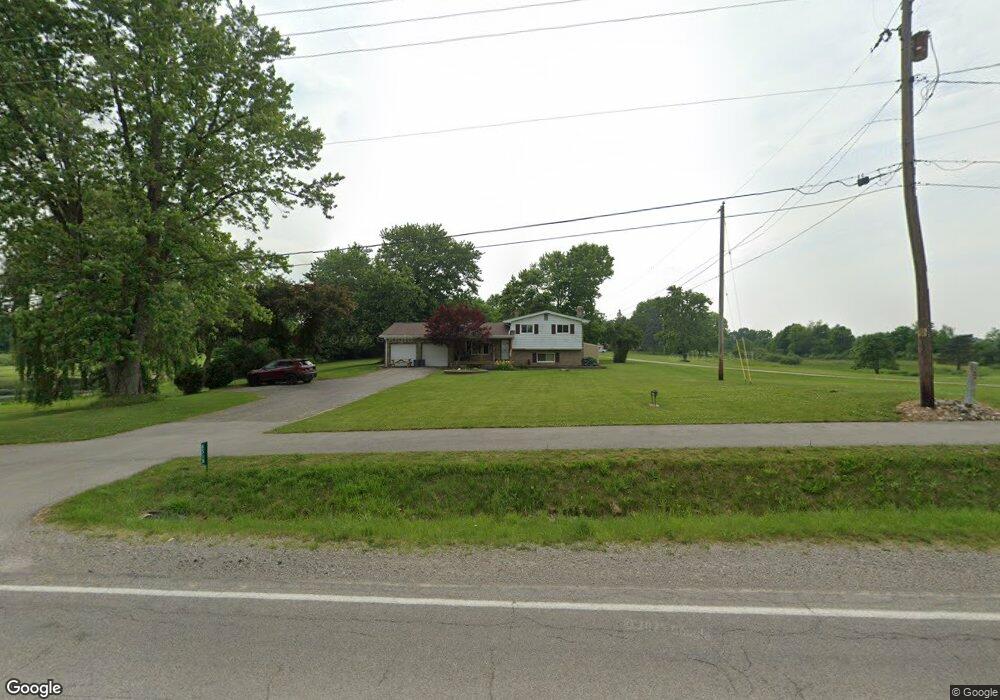
6518 Gale Rd Atlas, MI 48411
Estimated Value: $288,000 - $395,000
4
Beds
2
Baths
1,721
Sq Ft
$206/Sq Ft
Est. Value
About This Home
This home is located at 6518 Gale Rd, Atlas, MI 48411 and is currently estimated at $354,183, approximately $205 per square foot. 6518 Gale Rd is a home located in Genesee County with nearby schools including Reid Elementary School, Oaktree Elementary School, and Goodrich Middle School.
Ownership History
Date
Name
Owned For
Owner Type
Purchase Details
Closed on
Sep 18, 2008
Sold by
Estate Of Marridell Brissette
Bought by
Peters Robert
Current Estimated Value
Create a Home Valuation Report for This Property
The Home Valuation Report is an in-depth analysis detailing your home's value as well as a comparison with similar homes in the area
Home Values in the Area
Average Home Value in this Area
Purchase History
| Date | Buyer | Sale Price | Title Company |
|---|---|---|---|
| Peters Robert | $120,000 | Metropolitan Title Co |
Source: Public Records
Tax History Compared to Growth
Tax History
| Year | Tax Paid | Tax Assessment Tax Assessment Total Assessment is a certain percentage of the fair market value that is determined by local assessors to be the total taxable value of land and additions on the property. | Land | Improvement |
|---|---|---|---|---|
| 2025 | $3,255 | $161,700 | $0 | $0 |
| 2024 | $955 | $149,300 | $0 | $0 |
| 2023 | $911 | $123,200 | $0 | $0 |
| 2022 | $2,906 | $108,800 | $0 | $0 |
| 2021 | $2,881 | $94,400 | $0 | $0 |
| 2020 | $834 | $93,900 | $0 | $0 |
| 2019 | $820 | $93,300 | $0 | $0 |
| 2018 | $2,665 | $93,200 | $0 | $0 |
| 2017 | $2,552 | $93,400 | $0 | $0 |
| 2016 | $2,528 | $67,003 | $0 | $0 |
| 2015 | $2,516 | $82,000 | $0 | $0 |
| 2012 | -- | $63,200 | $63,200 | $0 |
Source: Public Records
Map
Nearby Homes
- 6396 Gale Rd
- 8439 Burpee Rd
- 6460 Atlas Lakes Dr
- 8438 Jordan Rd
- 7380 Burpee Rd
- 7024 S State Rd
- 9525 Hegel Rd
- 5300 Atlas Rd
- 10177 Hawthorne Ridge Rd
- 5334 Dunster Rd
- 9411 Fair Oaks Dr
- 10174 Hegel Rd
- 8023 Seneca St
- 9446 Fair Oaks Dr
- VL Linden
- 6361 Samson Dr
- 7090 E Hill Rd
- 6509 Jamie Ln
- 7480 Fairview Dr
- 6284 Westview Dr