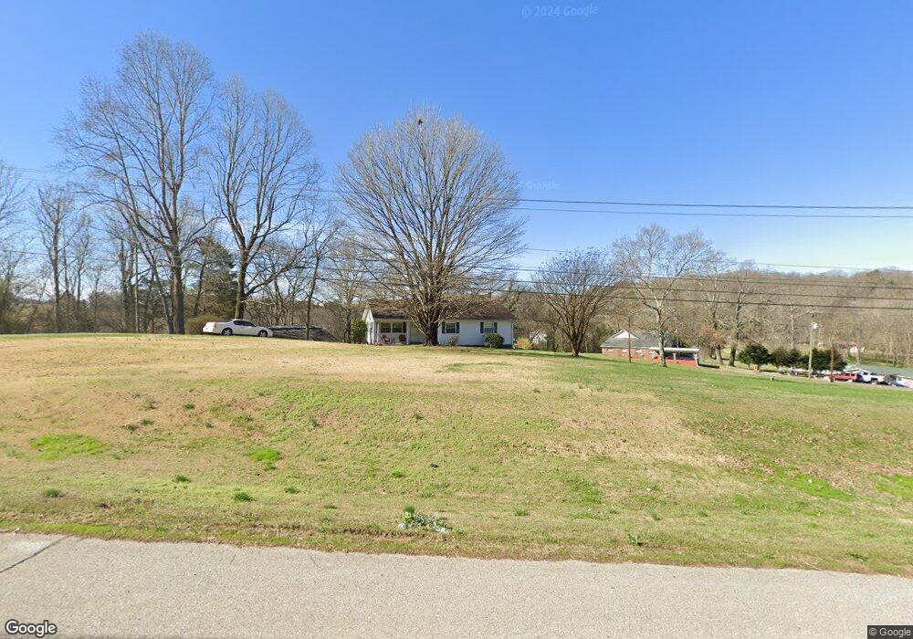
6519 Highway 72 N Loudon, TN 37774
Estimated Value: $259,960 - $316,000
3
Beds
1
Bath
1,310
Sq Ft
$214/Sq Ft
Est. Value
About This Home
This home is located at 6519 Highway 72 N, Loudon, TN 37774 and is currently estimated at $279,990, approximately $213 per square foot. 6519 Highway 72 N is a home located in Loudon County with nearby schools including Loudon High School.
Ownership History
Date
Name
Owned For
Owner Type
Purchase Details
Closed on
Nov 10, 2015
Sold by
Robinson Dale
Bought by
Robinson Dale and Robinson Chris
Current Estimated Value
Purchase Details
Closed on
Nov 6, 2015
Sold by
Robinson Dale
Bought by
Robinson Dale and Robinson Chris
Purchase Details
Closed on
Feb 3, 2014
Sold by
Robinson Gary
Bought by
Robinson Dale
Home Financials for this Owner
Home Financials are based on the most recent Mortgage that was taken out on this home.
Original Mortgage
$68,700
Interest Rate
3.19%
Mortgage Type
New Conventional
Create a Home Valuation Report for This Property
The Home Valuation Report is an in-depth analysis detailing your home's value as well as a comparison with similar homes in the area
Home Values in the Area
Average Home Value in this Area
Purchase History
| Date | Buyer | Sale Price | Title Company |
|---|---|---|---|
| Robinson Dale | -- | -- | |
| Robinson Dale | -- | -- | |
| Robinson Dale | $85,900 | -- |
Source: Public Records
Mortgage History
| Date | Status | Borrower | Loan Amount |
|---|---|---|---|
| Previous Owner | Robinson Dale | $68,700 |
Source: Public Records
Tax History Compared to Growth
Tax History
| Year | Tax Paid | Tax Assessment Tax Assessment Total Assessment is a certain percentage of the fair market value that is determined by local assessors to be the total taxable value of land and additions on the property. | Land | Improvement |
|---|---|---|---|---|
| 2025 | $820 | $31,325 | $8,200 | $23,125 |
| 2023 | $820 | $31,325 | $0 | $0 |
| 2022 | $820 | $31,325 | $8,200 | $23,125 |
| 2021 | $820 | $31,325 | $8,200 | $23,125 |
| 2020 | $753 | $31,325 | $8,200 | $23,125 |
| 2019 | $753 | $24,775 | $8,200 | $16,575 |
| 2018 | $739 | $24,775 | $8,200 | $16,575 |
| 2017 | $739 | $24,775 | $8,200 | $16,575 |
| 2016 | $647 | $21,300 | $6,600 | $14,700 |
| 2015 | $647 | $21,300 | $6,600 | $14,700 |
| 2014 | $647 | $21,300 | $6,600 | $14,700 |
Source: Public Records
Map
Nearby Homes
- 1 Holt Dr
- 1441 Roberson Springs Rd
- 824 Stone Creek Dr
- 494 Llewellyn Ln
- 1210 Hampton Place Cir
- 1063 Hampton Place Cir
- 928 Kline Dr
- 1272 Llewellyn Ln
- 2216 Olivia Cir
- 2939 River Rd
- 513 Cedar Park Dr
- 530 Cedar Park Dr
- 0 River Rd
- 700 Willington Place
- 758 Blackrock Run
- 76 Twin Lakes Dr
- 1608 Terrace Dr
- 909 Highland Ave
- 560 River Rd
- 496 Quiet River Ln
- 8112 Bell Rd N
- 1507 Roberson Springs Rd
- 0 Roberson Springs Rd Unit 814553
- 0 Roberson Springs Rd Unit 838063
- 8026 Bell Rd N
- 7930 Bell Rd N
- 1506 Roberson Springs Rd
- 1513 Roberson Springs Rd
- 8081 Bell Rd N
- 1473 Roberson Springs Rd
- 1473 Roberson Springs Rd
- 1514 Roberson Springs Rd
- 7814 Bell Rd N
- 6686 Highway 72 N
- 7736 Bell Rd N
- 7736 Bell Rd N Unit North
- 1469 Roberson Springs Rd
- 6001 Highway 72 N
- 1459 Roberson Springs Rd
- 7622 Bell Rd N