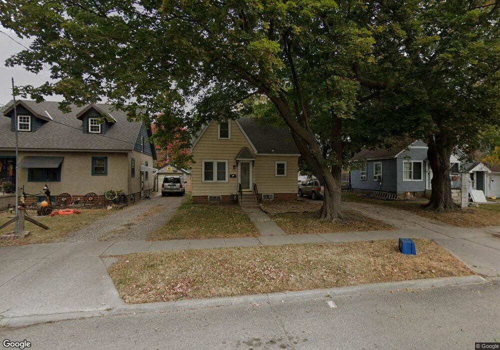
652 11th St NE Mason City, IA 50401
Estimated Value: $104,000 - $135,000
3
Beds
1
Bath
1,539
Sq Ft
$73/Sq Ft
Est. Value
About This Home
This home is located at 652 11th St NE, Mason City, IA 50401 and is currently estimated at $112,102, approximately $72 per square foot. 652 11th St NE is a home located in Cerro Gordo County with nearby schools including Mason City High School, Mason City Seventh Day Adventi, and North Iowa Christian School.
Ownership History
Date
Name
Owned For
Owner Type
Purchase Details
Closed on
Jun 12, 2023
Sold by
Tierney North Llc
Bought by
Pals Properties Llc
Current Estimated Value
Home Financials for this Owner
Home Financials are based on the most recent Mortgage that was taken out on this home.
Original Mortgage
$388,055
Outstanding Balance
$382,954
Interest Rate
6.39%
Mortgage Type
New Conventional
Estimated Equity
-$270,852
Purchase Details
Closed on
Jan 31, 2013
Sold by
Gansen Jeremy D and Gansen Angela N
Bought by
Tierney Jeffrey M and Tierney Jessica L
Create a Home Valuation Report for This Property
The Home Valuation Report is an in-depth analysis detailing your home's value as well as a comparison with similar homes in the area
Home Values in the Area
Average Home Value in this Area
Purchase History
| Date | Buyer | Sale Price | Title Company |
|---|---|---|---|
| Pals Properties Llc | $195,000 | None Listed On Document | |
| Tierney Jeffrey M | $18,000 | None Available |
Source: Public Records
Mortgage History
| Date | Status | Borrower | Loan Amount |
|---|---|---|---|
| Open | Pals Properties Llc | $388,055 |
Source: Public Records
Tax History Compared to Growth
Tax History
| Year | Tax Paid | Tax Assessment Tax Assessment Total Assessment is a certain percentage of the fair market value that is determined by local assessors to be the total taxable value of land and additions on the property. | Land | Improvement |
|---|---|---|---|---|
| 2024 | $1,266 | $79,020 | $15,360 | $63,660 |
| 2023 | $1,372 | $79,020 | $15,360 | $63,660 |
| 2022 | $1,414 | $69,360 | $11,820 | $57,540 |
| 2021 | $1,348 | $68,710 | $11,820 | $56,890 |
| 2020 | $1,348 | $62,170 | $11,820 | $50,350 |
| 2019 | $1,212 | $0 | $0 | $0 |
| 2018 | $952 | $0 | $0 | $0 |
| 2017 | $974 | $0 | $0 | $0 |
| 2016 | $950 | $0 | $0 | $0 |
| 2015 | $950 | $0 | $0 | $0 |
| 2014 | $970 | $0 | $0 | $0 |
| 2013 | $960 | $0 | $0 | $0 |
Source: Public Records
Map
Nearby Homes
- 1008 N Hampshire Ave
- 726 11th St NE
- 807 10th St NE
- 1306 N Rhode Island Ave
- 716 15th St NE
- 938 12th St NE
- 705 15th Place NE
- 311 10th St NE
- 1032 N Georgia Ave
- 1538 N Hampshire Ave
- 1416 N Kentucky Ave
- 110 N Kentucky Ave
- 1006 12th St NE
- 1419 N Kentucky Ave
- 1021 12th St NE
- 1551 N Rhode Island Ave
- 729 17th St NE
- 415 N Massachusetts Ave
- 5 Highland Park Ct
- 680 3rd St NE
- 646 11th St NE
- 656 11th St NE
- 660 11th St NE
- 642 11th St NE
- 647 12th St NE
- 645 12th St NE
- 659 11th St NE
- 659 12th St NE
- 663 11th St NE
- 653 11th St NE
- 641 11th St NE
- 1115 N Carolina Ave
- 645 11th St NE
- 632 11th St NE
- 1105 N Carolina Ave
- 1111 N Carolina Ave
- 1102 N Hampshire Ave
- 1114 N Hampshire Ave
- 1112 N Hampshire Ave
- 661 12th St NE