652 Airport Rd New Smyrna Beach, FL 32168
Samsula-Spruce Creek NeighborhoodEstimated Value: $3,767,000 - $4,687,000
2
Beds
1
Bath
4,380
Sq Ft
$965/Sq Ft
Est. Value
About This Home
This home is located at 652 Airport Rd, New Smyrna Beach, FL 32168 and is currently estimated at $4,227,000, approximately $965 per square foot. 652 Airport Rd is a home located in Volusia County with nearby schools including Cypress Creek Elementary School, Creekside Middle School, and New Smyrna Beach High School.
Ownership History
Date
Name
Owned For
Owner Type
Purchase Details
Closed on
May 31, 2001
Sold by
Sapp Elenora Balderson and Sapp Jerry C
Bought by
Cty Volusia
Current Estimated Value
Purchase Details
Closed on
Nov 18, 1999
Sold by
Owens Anita
Bought by
Owens Mcdonald
Home Financials for this Owner
Home Financials are based on the most recent Mortgage that was taken out on this home.
Original Mortgage
$31,700
Interest Rate
7.94%
Mortgage Type
Purchase Money Mortgage
Purchase Details
Closed on
Oct 11, 1993
Sold by
Owens Anita and Owens Marcus Jerome
Bought by
Owens Anita
Purchase Details
Closed on
Oct 15, 1989
Bought by
Owens Mcdonald
Create a Home Valuation Report for This Property
The Home Valuation Report is an in-depth analysis detailing your home's value as well as a comparison with similar homes in the area
Home Values in the Area
Average Home Value in this Area
Purchase History
| Date | Buyer | Sale Price | Title Company |
|---|---|---|---|
| Cty Volusia | -- | -- | |
| Owens Mcdonald | -- | -- | |
| Owens Anita | -- | -- | |
| Owens Mcdonald | $100 | -- |
Source: Public Records
Mortgage History
| Date | Status | Borrower | Loan Amount |
|---|---|---|---|
| Previous Owner | Owens Mcdonald | $31,700 |
Source: Public Records
Tax History Compared to Growth
Tax History
| Year | Tax Paid | Tax Assessment Tax Assessment Total Assessment is a certain percentage of the fair market value that is determined by local assessors to be the total taxable value of land and additions on the property. | Land | Improvement |
|---|---|---|---|---|
| 2025 | $2,381 | $262,419 | $256,050 | $6,369 |
| 2024 | $2,381 | $263,041 | $256,050 | $6,991 |
| 2023 | $2,381 | $274,497 | $267,430 | $7,067 |
| 2022 | $2,181 | $245,202 | $238,980 | $6,222 |
| 2021 | $1,075 | $42,978 | $42,200 | $778 |
| 2020 | $1,025 | $42,966 | $42,200 | $766 |
| 2019 | $1,002 | $40,549 | $39,830 | $719 |
| 2018 | $873 | $26,808 | $26,089 | $719 |
| 2017 | $865 | $26,812 | $26,089 | $723 |
| 2016 | $872 | $26,805 | $0 | $0 |
| 2015 | $853 | $26,805 | $0 | $0 |
| 2014 | $814 | $26,626 | $0 | $0 |
Source: Public Records
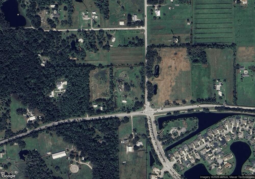
Map
Nearby Homes
- 652 Airport Rd
- 3625 Pioneer Trail
- 3606 Maribella Dr
- 3615 Marisol Ct
- 3610 Marisol Ct
- 3611 Marisol Ct
- 3583 Maribella Dr
- 594 Marisol Dr
- 3589 Grande Tuscany Way
- 1923 Mendocino Ln
- 6808 Forkmead Ln
- 6804 Forkmead Ln
- 0 Charles St
- 7093 SE 113th Ln
- 1821 Creekwater Blvd
- 1804 Creekwater Blvd
- 6824 Vintage Ln
- 1832 Afshin Ct
- 1727 Goosecross Ct
- 568 Luna Bella Ln
- 3606 Pioneer Trail
- 3630 Pioneer Trail
- 3585 Pioneer Trail
- 569 N Airport Rd
- 569 Airport Rd N
- 3635 Pioneer Trail
- 655 Marisol Dr
- 3633 Pepper Ln
- 653 Marisol Dr
- 651 Marisol Dr
- 649 Marisol Dr
- 647 Marisol Dr
- 645 Marisol Dr
- 3605 Darby Rd
- 643 Marisol Dr
- 652 Marisol Dr
- 650 Marisol Dr
- 641 Marisol Dr
- 3602 Maribella Dr
- 639 Marisol Dr