652 Anderson Walk Marietta, GA 30062
Estimated Value: $268,981 - $301,000
2
Beds
3
Baths
1,416
Sq Ft
$201/Sq Ft
Est. Value
About This Home
This home is located at 652 Anderson Walk, Marietta, GA 30062 and is currently estimated at $283,995, approximately $200 per square foot. 652 Anderson Walk is a home located in Cobb County with nearby schools including Lockheed Elementary School, Marietta Sixth Grade Academy, and Marietta Middle School.
Ownership History
Date
Name
Owned For
Owner Type
Purchase Details
Closed on
Aug 12, 2014
Sold by
Price David A
Bought by
Ulseth William C
Current Estimated Value
Home Financials for this Owner
Home Financials are based on the most recent Mortgage that was taken out on this home.
Original Mortgage
$95,200
Outstanding Balance
$72,833
Interest Rate
4.2%
Mortgage Type
New Conventional
Estimated Equity
$211,162
Purchase Details
Closed on
Mar 31, 2010
Sold by
Federal National Mortgage Association
Bought by
David A Price Jones Pc
Purchase Details
Closed on
Aug 4, 2009
Sold by
Citimortgage
Bought by
Federal National Mortgage Association
Purchase Details
Closed on
Feb 20, 1997
Sold by
Miller Angelia C
Bought by
Reynolds Leslie A
Create a Home Valuation Report for This Property
The Home Valuation Report is an in-depth analysis detailing your home's value as well as a comparison with similar homes in the area
Home Values in the Area
Average Home Value in this Area
Purchase History
| Date | Buyer | Sale Price | Title Company |
|---|---|---|---|
| Ulseth William C | $123,000 | -- | |
| David A Price Jones Pc | $83,100 | -- | |
| Federal National Mortgage Association | -- | -- | |
| Citimortgage | $96,854 | -- | |
| Reynolds Leslie A | $85,000 | -- |
Source: Public Records
Mortgage History
| Date | Status | Borrower | Loan Amount |
|---|---|---|---|
| Open | Ulseth William C | $95,200 | |
| Closed | Reynolds Leslie A | $0 |
Source: Public Records
Tax History Compared to Growth
Tax History
| Year | Tax Paid | Tax Assessment Tax Assessment Total Assessment is a certain percentage of the fair market value that is determined by local assessors to be the total taxable value of land and additions on the property. | Land | Improvement |
|---|---|---|---|---|
| 2024 | $101 | $95,324 | $34,000 | $61,324 |
| 2023 | $0 | $95,324 | $34,000 | $61,324 |
| 2022 | $101 | $80,504 | $12,000 | $68,504 |
| 2021 | $111 | $71,084 | $12,000 | $59,084 |
| 2020 | $110 | $66,980 | $12,000 | $54,980 |
| 2019 | $110 | $66,980 | $12,000 | $54,980 |
| 2018 | $108 | $52,780 | $10,000 | $42,780 |
| 2017 | $88 | $52,780 | $10,000 | $42,780 |
| 2016 | $89 | $41,328 | $10,000 | $31,328 |
| 2015 | $101 | $41,328 | $10,000 | $31,328 |
| 2014 | $97 | $21,992 | $0 | $0 |
Source: Public Records
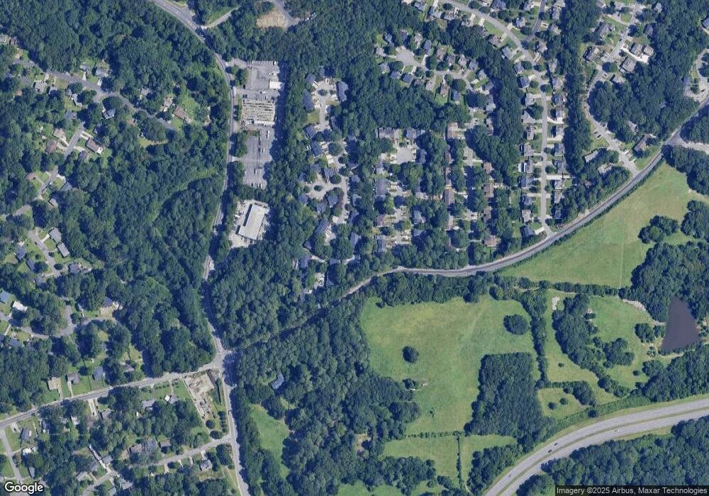
Map
Nearby Homes
- 679 Anderson Walk
- 1234 Barnes Mill Rd
- 706 Coventry Township Ln
- 741 Soaring Dr
- 755 Bonnie Dell Dr
- 785 Soaring Cir
- 881 Soaring Dr
- 874 Soaring Cir Unit 2
- 1657 Cedar Bluff Way
- 1186 Beech St
- 1145 Mountain View Dr
- 794 Barnes Mill Trace NE
- 149 Bankston Rd
- 1548 Cedar Bluff Trail
- 1056 Azalea Cir
- 1080 Soaring Way NE
- 0 Shadowbrook Dr Unit 10506866
- 0 Shadowbrook Dr Unit 7564152
- 648 Anderson Walk
- 656 Anderson Walk
- 660 Anderson Walk
- 664 Anderson Walk
- 753 Coventry Township Place Unit 1
- 755 Coventry Township Place
- 640 Anderson Walk
- 640 Anderson Walk
- 751 Coventry Township Place Unit 1
- 757 Coventry Township Place
- 668 Anderson Walk
- 636 Anderson Walk Unit 636
- 636 Anderson Walk
- 632 Anderson Walk
- 759 Coventry Township Place
- 672 Anderson Walk
- 655 Anderson Walk Unit 125
- 655 Anderson Walk
- 761 Coventry Township Place
- 661 Anderson Walk