652 Huntington Trc Trace Winder, GA 30680
Estimated Value: $388,700 - $480,000
--
Bed
3
Baths
2,526
Sq Ft
$176/Sq Ft
Est. Value
About This Home
This home is located at 652 Huntington Trc Trace, Winder, GA 30680 and is currently estimated at $445,425, approximately $176 per square foot. 652 Huntington Trc Trace is a home located in Barrow County with nearby schools including County Line Elementary School, Russell Middle School, and Winder-Barrow High School.
Ownership History
Date
Name
Owned For
Owner Type
Purchase Details
Closed on
Feb 21, 2020
Sold by
Hellums Vicki
Bought by
Peters Lisa Penland and Dezwart Pieter
Current Estimated Value
Home Financials for this Owner
Home Financials are based on the most recent Mortgage that was taken out on this home.
Original Mortgage
$232,000
Outstanding Balance
$205,420
Interest Rate
3.6%
Mortgage Type
New Conventional
Estimated Equity
$240,005
Purchase Details
Closed on
Feb 6, 2009
Sold by
Hellums Jerry
Bought by
Hellums Jerry And
Purchase Details
Closed on
Apr 29, 2005
Sold by
Cedar Creek Construction & Development
Bought by
Trammell Construction Co Inc
Create a Home Valuation Report for This Property
The Home Valuation Report is an in-depth analysis detailing your home's value as well as a comparison with similar homes in the area
Home Values in the Area
Average Home Value in this Area
Purchase History
| Date | Buyer | Sale Price | Title Company |
|---|---|---|---|
| Peters Lisa Penland | $290,000 | -- | |
| Hellums Jerry And | -- | -- | |
| Trammell Construction Co Inc | -- | -- |
Source: Public Records
Mortgage History
| Date | Status | Borrower | Loan Amount |
|---|---|---|---|
| Open | Peters Lisa Penland | $232,000 |
Source: Public Records
Tax History Compared to Growth
Tax History
| Year | Tax Paid | Tax Assessment Tax Assessment Total Assessment is a certain percentage of the fair market value that is determined by local assessors to be the total taxable value of land and additions on the property. | Land | Improvement |
|---|---|---|---|---|
| 2024 | $3,756 | $153,780 | $28,800 | $124,980 |
| 2023 | $3,356 | $154,780 | $28,800 | $125,980 |
| 2022 | $3,202 | $113,707 | $28,800 | $84,907 |
| 2021 | $3,003 | $100,907 | $16,000 | $84,907 |
| 2020 | $3,007 | $100,907 | $16,000 | $84,907 |
| 2019 | $2,598 | $100,907 | $16,000 | $84,907 |
| 2018 | $2,696 | $89,920 | $16,000 | $73,920 |
| 2017 | $2,097 | $72,026 | $16,000 | $56,026 |
| 2016 | $2,116 | $72,026 | $16,000 | $56,026 |
| 2015 | $1,798 | $72,026 | $16,000 | $56,026 |
| 2014 | $1,931 | $64,455 | $7,840 | $56,615 |
| 2013 | -- | $59,987 | $7,840 | $52,147 |
Source: Public Records
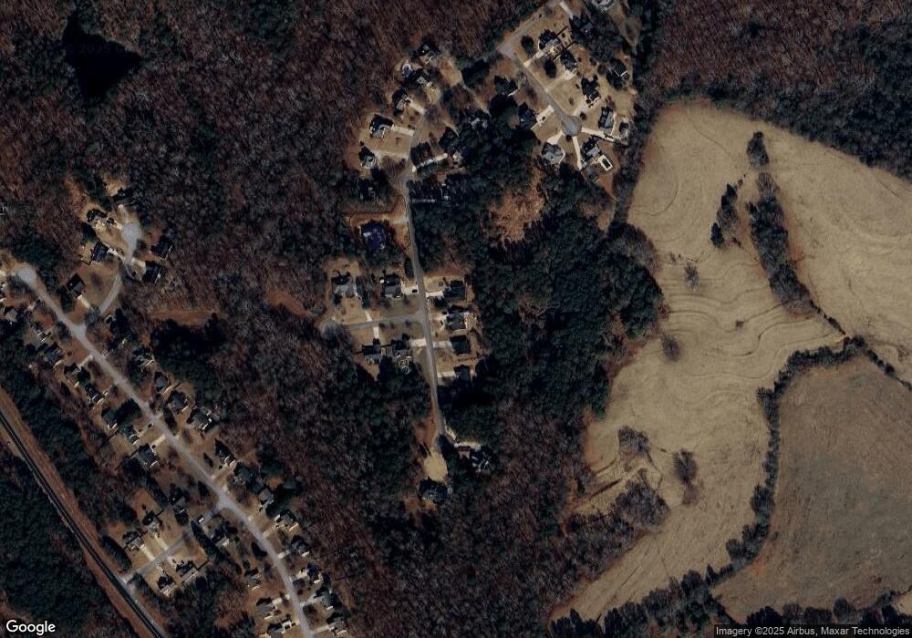
Map
Nearby Homes
- 654 Huntington Trace
- 84 Carnaby St
- 678 Knightsbridge Ln
- 415 Knightsbridge Ln
- The Hickory A Plan at Cedar Farms
- The Rabun C Plan at Cedar Farms
- The Glenwood A Plan at Cedar Farms
- The Hickory B Plan at Cedar Farms
- The Russell B Plan at Cedar Farms
- The Danbury A Plan at Cedar Farms
- The Harrison G Plan at Cedar Farms
- The Russell A Plan at Cedar Farms
- The Willow B Plan at Cedar Farms
- The Sinclair C Plan at Cedar Farms
- 711 Brighton Ln
- 796 Pinnacle Dr
- 133 Cedar Wood Trace
- 290 Hyde Park
- 300 Hyde Park
- 109 Cedar Wood Trace
- 652 Huntington Trace
- 650 Huntington Trace
- 656 Huntington Trace
- 655 Huntington Trace
- 649 Huntington Trace
- 648 Huntington Trace
- 702 Huntington Ct Unit 6
- 702 Huntington Ct
- 703 Huntington Ct
- 657 Huntington Trace
- 647 Huntington Trace
- 646 Huntington Trace
- 660 Huntington Trace
- 645 Huntington Trace
- 659 Huntington Trace
- 661 Huntington Trace
- 705 Huntington Ct
- 643 Huntington Trace
- 640 Huntington Trace
- 595 Cantebury Ln