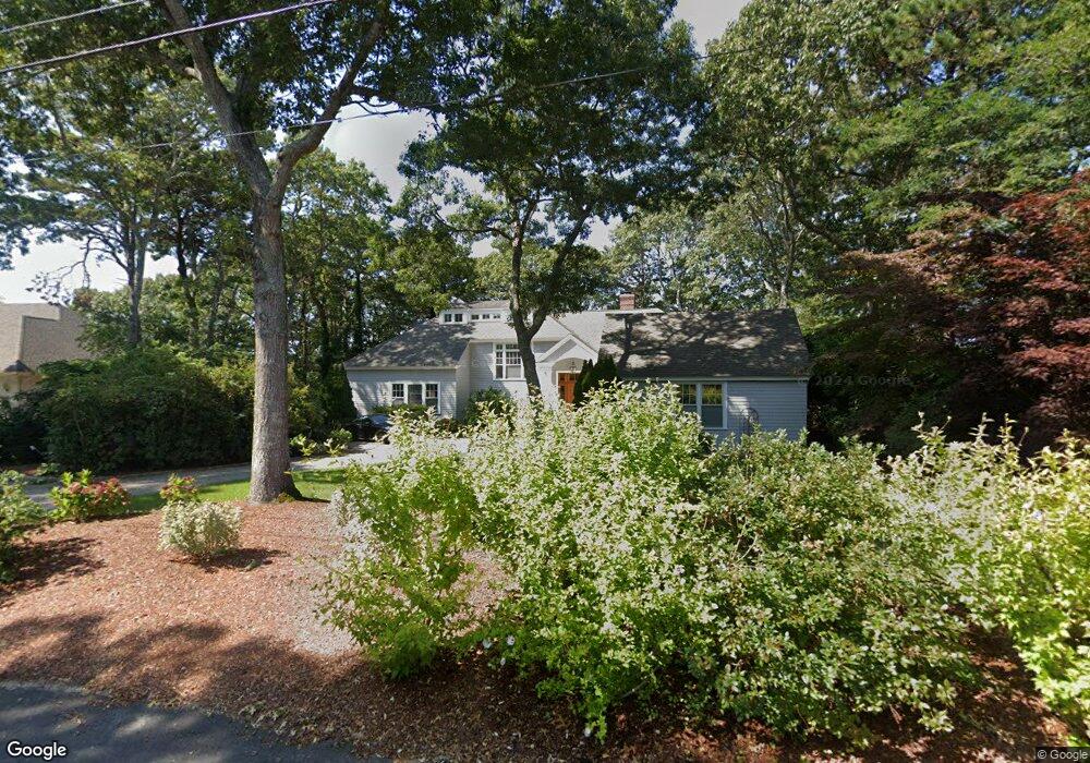
652 Poponessett Rd Cotuit, MA 2635
Cotuit NeighborhoodEstimated Value: $2,364,068 - $2,875,000
3
Beds
3
Baths
1,801
Sq Ft
$1,475/Sq Ft
Est. Value
About This Home
This home is located at 652 Poponessett Rd, Cotuit, MA 2635 and is currently estimated at $2,656,767, approximately $1,475 per square foot. 652 Poponessett Rd is a home located in Barnstable County with nearby schools including West Villages Elementary School, Barnstable United Elementary School, and Barnstable Intermediate School.
Ownership History
Date
Name
Owned For
Owner Type
Purchase Details
Closed on
Jan 10, 2012
Sold by
Barrett Kathleen E
Bought by
Kathleen E Barrett Ret
Current Estimated Value
Purchase Details
Closed on
May 15, 2000
Sold by
Spath Katherine Est
Bought by
Barrett Kathleen E
Home Financials for this Owner
Home Financials are based on the most recent Mortgage that was taken out on this home.
Original Mortgage
$252,700
Interest Rate
8.1%
Create a Home Valuation Report for This Property
The Home Valuation Report is an in-depth analysis detailing your home's value as well as a comparison with similar homes in the area
Home Values in the Area
Average Home Value in this Area
Purchase History
| Date | Buyer | Sale Price | Title Company |
|---|---|---|---|
| Kathleen E Barrett Ret | -- | -- | |
| Barrett Kathleen E | $580,000 | -- |
Source: Public Records
Mortgage History
| Date | Status | Borrower | Loan Amount |
|---|---|---|---|
| Previous Owner | Barrett Kathleen E | $235,000 | |
| Previous Owner | Barrett Kathleen E | $244,000 | |
| Previous Owner | Barrett Kathleen E | $275,000 | |
| Previous Owner | Barrett Kathleen E | $252,700 |
Source: Public Records
Tax History
| Year | Tax Paid | Tax Assessment Tax Assessment Total Assessment is a certain percentage of the fair market value that is determined by local assessors to be the total taxable value of land and additions on the property. | Land | Improvement |
|---|---|---|---|---|
| 2025 | $16,999 | $2,035,800 | $1,026,200 | $1,009,600 |
| 2024 | $15,612 | $1,981,200 | $1,026,200 | $955,000 |
| 2023 | $14,586 | $1,742,700 | $918,100 | $824,600 |
| 2022 | $12,090 | $1,169,200 | $482,600 | $686,600 |
| 2021 | $12,341 | $1,117,700 | $482,600 | $635,100 |
| 2020 | $12,513 | $1,068,600 | $482,600 | $586,000 |
| 2019 | $12,486 | $1,051,000 | $460,700 | $590,300 |
| 2018 | $28 | $1,032,100 | $508,000 | $524,100 |
| 2017 | $12,049 | $1,021,100 | $508,000 | $513,100 |
| 2016 | $11,692 | $1,015,800 | $502,700 | $513,100 |
| 2015 | $11,461 | $994,900 | $503,200 | $491,700 |
Source: Public Records
Map
Nearby Homes
- 640 Poponessett Rd
- 640 Poponessett Rd
- 311 Waquoit Rd
- 61 Shoestring Bay Rd
- 11 Teal Cir
- 85 Clamshell Cove Rd
- 35 Spinnaker Dr W
- 239 Clamshell Cove Rd
- 12 Tracey Rd
- 6 Cedar St
- 6 Cedar St
- 20 Mutiny Way
- 30 Wings Ln
- 34 Rainbow Ln
- 1081 Main St
- 1412 Main St
- 188 Ocean View Ave
- 25 Rainbow Ln
- 239 Oxford Dr
- 6 Willow Cir
- 664 Poponessett Rd
- 664 Poponessett Rd
- 647 Poponessett Rd
- 628 Poponessett Rd
- 663 Poponessett Rd
- 625 Poponessett Rd
- 679 Poponessett Rd
- 682 Poponessett Rd
- 624 Poponessett Rd
- 701 Santuit Rd
- 605 Poponessett Rd
- 614 Poponessett Rd
- 685 Santuit Rd
- 755 Santuit Rd
- 724 Santuit Rd
- 765 Santuit Rd
- 592 Poponessett Rd
- 595 Poponessett Rd
- 694 Santuit Rd
- 750 Santuit Rd
Your Personal Tour Guide
Ask me questions while you tour the home.