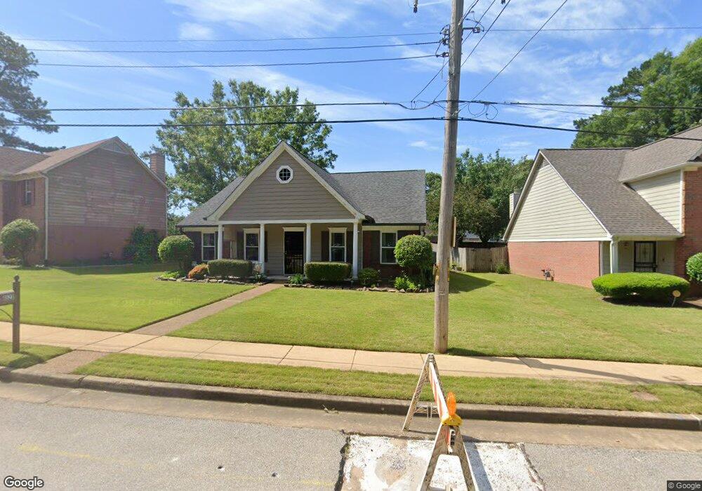
6523 Patmore Rd Memphis, TN 38134
Cordova NeighborhoodEstimated Value: $228,000 - $238,023
3
Beds
2
Baths
1,560
Sq Ft
$150/Sq Ft
Est. Value
About This Home
This home is located at 6523 Patmore Rd, Memphis, TN 38134 and is currently estimated at $233,256, approximately $149 per square foot. 6523 Patmore Rd is a home located in Shelby County with nearby schools including White Station Elementary School, White Station Middle, and White Station High.
Ownership History
Date
Name
Owned For
Owner Type
Purchase Details
Closed on
Dec 29, 1997
Sold by
Summit Homes Llc
Bought by
Royar Lisa A
Current Estimated Value
Home Financials for this Owner
Home Financials are based on the most recent Mortgage that was taken out on this home.
Original Mortgage
$90,491
Outstanding Balance
$15,760
Interest Rate
7.18%
Mortgage Type
FHA
Estimated Equity
$217,496
Create a Home Valuation Report for This Property
The Home Valuation Report is an in-depth analysis detailing your home's value as well as a comparison with similar homes in the area
Home Values in the Area
Average Home Value in this Area
Purchase History
| Date | Buyer | Sale Price | Title Company |
|---|---|---|---|
| Royar Lisa A | $90,000 | Southern Escrow Title Compan |
Source: Public Records
Mortgage History
| Date | Status | Borrower | Loan Amount |
|---|---|---|---|
| Open | Royar Lisa A | $90,491 |
Source: Public Records
Tax History Compared to Growth
Tax History
| Year | Tax Paid | Tax Assessment Tax Assessment Total Assessment is a certain percentage of the fair market value that is determined by local assessors to be the total taxable value of land and additions on the property. | Land | Improvement |
|---|---|---|---|---|
| 2025 | $1,319 | $58,075 | $7,000 | $51,075 |
| 2024 | $1,319 | $38,900 | $5,750 | $33,150 |
| 2023 | $2,370 | $38,900 | $5,750 | $33,150 |
| 2022 | $2,370 | $38,900 | $5,750 | $33,150 |
| 2021 | $2,397 | $38,900 | $5,750 | $33,150 |
| 2020 | $1,879 | $25,925 | $5,750 | $20,175 |
| 2019 | $1,879 | $25,925 | $5,750 | $20,175 |
| 2018 | $1,879 | $25,925 | $5,750 | $20,175 |
| 2017 | $1,066 | $25,925 | $5,750 | $20,175 |
| 2016 | $1,083 | $24,775 | $0 | $0 |
| 2014 | $1,083 | $24,775 | $0 | $0 |
Source: Public Records
Map
Nearby Homes
- 0 Mullins Station Rd
- 1339 Mullins Station Rd
- 6690 Whitten Pine Dr
- 1321 Merimac Cove
- 1289 Heathcliff Dr
- 6774 Whitten Pine Dr
- 6830 Garmin Ln
- 6880 Wrigley Dr
- 6898 Century Oaks Dr
- 1472 Kinilwood St
- 1461 Phillips Rd
- 6838 Lagrange Cir N
- 6840 Lagrange Pines Rd
- 7004 Presmond Rd
- 6916 Lagrange Pines Rd
- 6990 Parkbrook Ln
- 6925 Raleigh Lagrange Rd
- 7115 Lindsey Leaf Cove
- 7020 Wynne Ridge Rd N
- 7194 Charlton Way
- 6519 Patmore Rd
- 6531 Patmore Rd
- 6511 Patmore Rd
- 1115 Celtic Cove
- 1119 Celtic Cove
- 1123 Celtic Cove
- 1129 Celtic Cove
- 1111 Celtic Cove
- 6505 Patmore Rd
- 6542 Patmore Rd
- 1104 Celtic Cove
- 1116 Celtic Cove
- 1124 Celtic Cove
- 1128 Celtic Cove
- 6546 Patmore Rd
- 1112 Celtic Cove
- 1108 Celtic Cove
- 6552 Patmore Rd
- 1113 Cambrain Dr
- 1109 Cambrain Dr