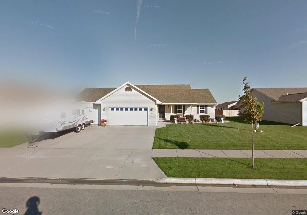
653 Arnie St Combined Locks, WI 54113
Estimated Value: $362,271 - $433,000
3
Beds
2
Baths
1,544
Sq Ft
$256/Sq Ft
Est. Value
About This Home
This home is located at 653 Arnie St, Combined Locks, WI 54113 and is currently estimated at $394,568, approximately $255 per square foot. 653 Arnie St is a home located in Outagamie County with nearby schools including River View School, Kaukauna High School, and New Directions Learning Community.
Ownership History
Date
Name
Owned For
Owner Type
Purchase Details
Closed on
Aug 3, 2023
Sold by
Nelson David A and Nelson Roberta L
Bought by
Nelson David A and Nelson Roberta L
Current Estimated Value
Home Financials for this Owner
Home Financials are based on the most recent Mortgage that was taken out on this home.
Original Mortgage
$256,000
Outstanding Balance
$215,798
Interest Rate
6.71%
Mortgage Type
New Conventional
Estimated Equity
$178,770
Purchase Details
Closed on
May 27, 2008
Sold by
Cypress Homes Inc
Bought by
Maki Roberta L
Purchase Details
Closed on
Oct 9, 2007
Sold by
Coonen Development Corporation
Bought by
Cypress Homes Inc
Create a Home Valuation Report for This Property
The Home Valuation Report is an in-depth analysis detailing your home's value as well as a comparison with similar homes in the area
Home Values in the Area
Average Home Value in this Area
Purchase History
| Date | Buyer | Sale Price | Title Company |
|---|---|---|---|
| Nelson David A | -- | Knight Barry Title | |
| Maki Roberta L | $184,000 | -- | |
| Cypress Homes Inc | $39,805 | -- |
Source: Public Records
Mortgage History
| Date | Status | Borrower | Loan Amount |
|---|---|---|---|
| Open | Nelson David A | $256,000 |
Source: Public Records
Tax History
| Year | Tax Paid | Tax Assessment Tax Assessment Total Assessment is a certain percentage of the fair market value that is determined by local assessors to be the total taxable value of land and additions on the property. | Land | Improvement |
|---|---|---|---|---|
| 2024 | $4,598 | $339,100 | $45,400 | $293,700 |
| 2023 | $3,963 | $244,000 | $36,900 | $207,100 |
| 2022 | $3,815 | $244,000 | $36,900 | $207,100 |
| 2021 | $3,802 | $244,000 | $36,900 | $207,100 |
| 2020 | $3,831 | $198,700 | $33,800 | $164,900 |
| 2019 | $3,764 | $198,700 | $33,800 | $164,900 |
| 2018 | $3,727 | $198,700 | $33,800 | $164,900 |
| 2017 | $3,733 | $198,700 | $33,800 | $164,900 |
| 2016 | $3,609 | $182,700 | $37,200 | $145,500 |
| 2015 | $3,704 | $182,700 | $37,200 | $145,500 |
| 2014 | $3,630 | $182,700 | $37,200 | $145,500 |
| 2013 | $3,801 | $182,700 | $37,200 | $145,500 |
Source: Public Records
Map
Nearby Homes
- 592 Cornrow Ln
- W2286 Valleywood Ln
- W2247 Block Rd
- 708 Saunders Rd Unit 1
- 223 Sunny Meadows Dr
- 400 Frances St
- 708 Westfield St
- 435 Roger St
- 101 Sunny Meadows Dr
- N349 Fieldside Ln
- N371 Fieldside Ln
- 2723 Main Ave
- W2512 Buchanan Rd
- W5372 Gable Dr
- 107 Lamine Ln
- 1712 Thelen Ave
- N9555 Chadbury Ln
- N9535 State Park Rd
- W5445 Colin St
- 445 Riverview Ridge Place
- 0 Arnie St Unit 50004586
- 0 Arnie St Unit 50004563
- 0 Arnie St Unit 50004564
- 0 Arnie St Unit 50004585
- 0 Arnie St Unit 50004587
- 0 Arnie St Unit 50004588
- 651 Arnie St
- 655 Arnie St
- 609 Debruin Rd
- 502 Rusch Dr
- 654 Arnie St
- 649 Arnie St
- 503 Rusch Dr
- 510 Rusch Dr
- 656 Arnie St
- 652 Arnie St
- 605 Debruin Rd
- 659 Arnie St
- 650 Arnie St
- 647 Arnie St
Your Personal Tour Guide
Ask me questions while you tour the home.