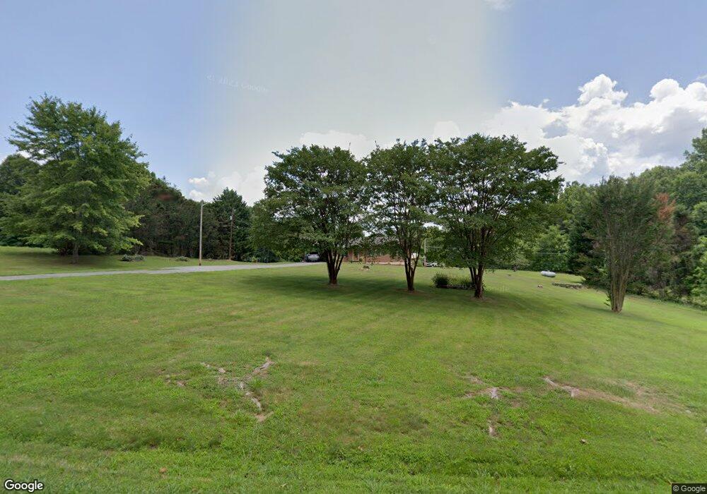
653 Five Forks Rd Stuart, VA 24171
Estimated Value: $159,000 - $215,000
Studio
--
Bath
--
Sq Ft
2.01
Acres
About This Home
This home is located at 653 Five Forks Rd, Stuart, VA 24171 and is currently estimated at $191,142. 653 Five Forks Rd is a home located in Patrick County with nearby schools including Patrick County High School.
Ownership History
Date
Name
Owned For
Owner Type
Purchase Details
Closed on
Jul 21, 2022
Sold by
Moore Phyllis M
Bought by
Moore Preston L
Current Estimated Value
Create a Home Valuation Report for This Property
The Home Valuation Report is an in-depth analysis detailing your home's value as well as a comparison with similar homes in the area
Purchase History
| Date | Buyer | Sale Price | Title Company |
|---|---|---|---|
| Moore Preston L | -- | None Listed On Document |
Source: Public Records
Tax History
| Year | Tax Paid | Tax Assessment Tax Assessment Total Assessment is a certain percentage of the fair market value that is determined by local assessors to be the total taxable value of land and additions on the property. | Land | Improvement |
|---|---|---|---|---|
| 2025 | $680 | $93,200 | $17,100 | $76,100 |
| 2024 | $680 | $93,200 | $17,100 | $76,100 |
| 2023 | $680 | $93,200 | $17,100 | $76,100 |
| 2022 | $680 | $93,200 | $17,100 | $76,100 |
| 2021 | $634 | $93,200 | $17,100 | $76,100 |
| 2020 | $657 | $96,600 | $17,100 | $79,500 |
| 2019 | $657 | $96,600 | $17,100 | $79,500 |
| 2018 | $551 | $96,600 | $17,100 | $79,500 |
| 2017 | -- | $96,600 | $17,100 | $79,500 |
| 2016 | $551 | $96,600 | $17,100 | $79,500 |
| 2015 | -- | $96,600 | $17,100 | $79,500 |
| 2014 | -- | $104,700 | $20,100 | $84,600 |
Source: Public Records
Map
Nearby Homes
- 00 Creasey Chapel Rd
- 3310 Creasey Chapel Rd
- 3374 Salem Hwy
- 2872 Salem Hwy
- 1577 Shingle Shop Rd
- 1714 Elk Creek Rd
- 1463 Wayside Rd
- 367 Hazelwood Dr
- 124 Collinstown Rd
- 180 Acres (Off Of) Willard Creek Ln
- 0 Willard Creek Ln
- 107 Carters View Ct
- 8153 Salem Hwy
- 0 Ashby Dr
- 3063 Hart Rd
- 1626 N Carolina 704
- 130 Riverside Dr
- 610 Mayo Ct
- 209 Pine St
- 174 Developmental Rd
