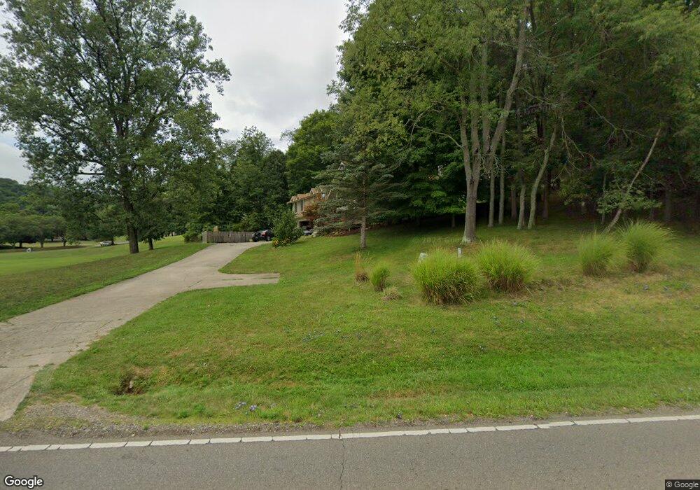
653 King Rd Newark, OH 43055
Estimated Value: $375,000 - $501,000
4
Beds
3
Baths
2,601
Sq Ft
$174/Sq Ft
Est. Value
About This Home
This home is located at 653 King Rd, Newark, OH 43055 and is currently estimated at $453,678, approximately $174 per square foot. 653 King Rd is a home located in Licking County with nearby schools including Legend Elementary School, Liberty Middle School, and Newark High School.
Ownership History
Date
Name
Owned For
Owner Type
Purchase Details
Closed on
Feb 18, 2009
Sold by
Conley William A
Bought by
Conley William A and Kozak Deborah L
Current Estimated Value
Home Financials for this Owner
Home Financials are based on the most recent Mortgage that was taken out on this home.
Original Mortgage
$90,000
Outstanding Balance
$56,310
Interest Rate
4.91%
Mortgage Type
New Conventional
Estimated Equity
$397,368
Purchase Details
Closed on
Feb 17, 2009
Sold by
Lowry Steven L and Lowry Masako
Bought by
Conley William A
Home Financials for this Owner
Home Financials are based on the most recent Mortgage that was taken out on this home.
Original Mortgage
$90,000
Outstanding Balance
$56,310
Interest Rate
4.91%
Mortgage Type
New Conventional
Estimated Equity
$397,368
Purchase Details
Closed on
Sep 8, 2008
Sold by
Conley Johnnie L
Bought by
Conley William A
Purchase Details
Closed on
Nov 7, 1994
Sold by
Steven L Lowry Trst
Bought by
Conley William A
Create a Home Valuation Report for This Property
The Home Valuation Report is an in-depth analysis detailing your home's value as well as a comparison with similar homes in the area
Home Values in the Area
Average Home Value in this Area
Purchase History
| Date | Buyer | Sale Price | Title Company |
|---|---|---|---|
| Conley William A | -- | Ambassador | |
| Conley William A | -- | Ambassador | |
| Conley William A | -- | None Available | |
| Conley William A | $29,500 | -- |
Source: Public Records
Mortgage History
| Date | Status | Borrower | Loan Amount |
|---|---|---|---|
| Open | Conley William A | $90,000 |
Source: Public Records
Tax History Compared to Growth
Tax History
| Year | Tax Paid | Tax Assessment Tax Assessment Total Assessment is a certain percentage of the fair market value that is determined by local assessors to be the total taxable value of land and additions on the property. | Land | Improvement |
|---|---|---|---|---|
| 2024 | $4,814 | $124,530 | $38,500 | $86,030 |
| 2023 | $7,500 | $124,530 | $38,500 | $86,030 |
| 2022 | $4,407 | $100,770 | $18,870 | $81,900 |
| 2021 | $4,614 | $100,770 | $18,870 | $81,900 |
| 2020 | $4,708 | $100,770 | $18,870 | $81,900 |
| 2019 | $2,852 | $58,140 | $17,960 | $40,180 |
| 2018 | $2,839 | $0 | $0 | $0 |
| 2017 | $2,676 | $0 | $0 | $0 |
| 2016 | $2,573 | $0 | $0 | $0 |
| 2015 | $2,624 | $0 | $0 | $0 |
| 2014 | $3,333 | $0 | $0 | $0 |
| 2013 | $2,495 | $0 | $0 | $0 |
Source: Public Records
Map
Nearby Homes
- 750 Whitetail Loop
- 745 Whitetail Loop
- 1251 Pineview Trail Unit A
- 1006 Kingsbury Ct Unit 1006
- 681 Woods Edge Ln
- 1601 Ditmoor Stroll
- 4387 Milner Rd NE
- 714 Olde Creek Dr
- 229 Greenfield Ave
- 395 Quail Run Ct
- 910 Golden Dr
- 584 Moull St Unit A
- 764 Stone Ridge Way Unit 764
- 731 Grafton Rd
- 473 Meadowbrook Dr
- 979 Granville Rd
- 412 Hunters Ct
- 1704 Naughtingham Rd
- 730 Maxola Ave
- 342 W Hunters Dr
- 643 King Rd
- 800 Briarhill Dr
- 1828 Briarwood Ln
- 820 Briarhill Dr
- 1826 Briarwood Ln Unit 3
- 1 Queens Dr S
- 1824 Briarwood Ln Unit 2
- 1827 Briarwood Ln
- 105 Queens Dr S
- 1822 Briarwood Ln
- 1825 Briarwood Ln Unit 6
- 1821 Briarwood Ln
- 1823 Briarwood Ln
- 836 Briar Hill Dr
- 836 Briarhill Dr
- 149 Queens Dr S
- 545 King Rd
- 856 Briar Hill Dr
- 819 Briarhill Dr
- 856 Briarhill Dr