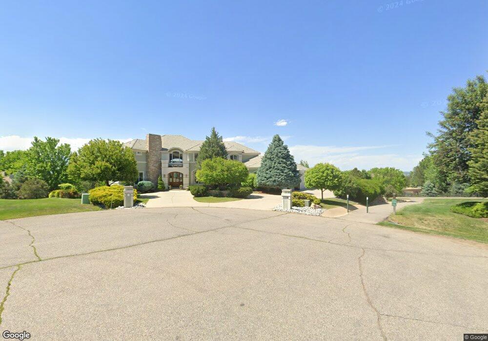
6531 Columbine Ct Niwot, CO 80503
Niwot NeighborhoodEstimated Value: $2,673,802 - $3,125,000
7
Beds
6
Baths
5,078
Sq Ft
$574/Sq Ft
Est. Value
About This Home
This home is located at 6531 Columbine Ct, Niwot, CO 80503 and is currently estimated at $2,916,951, approximately $574 per square foot. 6531 Columbine Ct is a home located in Boulder County with nearby schools including Niwot Elementary School, Sunset Middle School, and Niwot High School.
Ownership History
Date
Name
Owned For
Owner Type
Purchase Details
Closed on
Feb 4, 2003
Sold by
Wolfe Cynthia M
Bought by
Wolfe Joseph Michael
Current Estimated Value
Home Financials for this Owner
Home Financials are based on the most recent Mortgage that was taken out on this home.
Original Mortgage
$1,020,000
Outstanding Balance
$442,252
Interest Rate
6.12%
Estimated Equity
$2,474,699
Purchase Details
Closed on
Jul 28, 1999
Sold by
Wolfe J Michael and Wolfe Cynthia M
Bought by
Wolfe Cynthia M
Purchase Details
Closed on
Sep 30, 1994
Sold by
Witt Kenneth S and Copley Shelley D
Bought by
Calabrese Orlando M
Purchase Details
Closed on
Apr 15, 1994
Sold by
Puma Property Partners
Bought by
Witt Kenneth S
Create a Home Valuation Report for This Property
The Home Valuation Report is an in-depth analysis detailing your home's value as well as a comparison with similar homes in the area
Home Values in the Area
Average Home Value in this Area
Purchase History
| Date | Buyer | Sale Price | Title Company |
|---|---|---|---|
| Wolfe Joseph Michael | -- | -- | |
| Wolfe Cynthia M | -- | -- | |
| Calabrese Orlando M | $179,500 | Land Title | |
| Witt Kenneth S | $164,500 | Land Title |
Source: Public Records
Mortgage History
| Date | Status | Borrower | Loan Amount |
|---|---|---|---|
| Open | Wolfe Joseph Michael | $1,020,000 |
Source: Public Records
Tax History Compared to Growth
Tax History
| Year | Tax Paid | Tax Assessment Tax Assessment Total Assessment is a certain percentage of the fair market value that is determined by local assessors to be the total taxable value of land and additions on the property. | Land | Improvement |
|---|---|---|---|---|
| 2025 | $20,586 | $204,344 | $35,863 | $168,481 |
| 2024 | $20,586 | $204,344 | $35,863 | $168,481 |
| 2023 | $20,313 | $209,777 | $33,366 | $180,096 |
| 2022 | $16,692 | $164,486 | $29,899 | $134,587 |
| 2021 | $16,913 | $169,219 | $30,759 | $138,460 |
| 2020 | $13,890 | $139,325 | $30,459 | $108,866 |
| 2019 | $13,848 | $139,325 | $30,459 | $108,866 |
| 2018 | $13,411 | $136,008 | $29,304 | $106,704 |
| 2017 | $12,593 | $150,364 | $32,397 | $117,967 |
| 2016 | $13,933 | $147,395 | $33,352 | $114,043 |
| 2015 | $13,269 | $123,403 | $19,024 | $104,379 |
| 2014 | $12,238 | $123,403 | $19,024 | $104,379 |
Source: Public Records
Map
Nearby Homes
- 8748 Skyland Dr
- 6816 Goldbranch Dr
- 6668 Walker Ct
- 6851 Goldbranch Dr
- 8400 Sawtooth Ln
- 8836 Marathon Rd
- 6541 Legend Ridge Trail
- 8911 Little Raven Trail
- 8536 Foxhaven Ct
- 8568 Foxhaven Dr
- 6557 Legend Ridge Trail
- 8942 Comanche Rd
- 6482 Cherry Ct
- 8840 Niwot Rd
- 8896 Niwot Rd
- 7999 Centrebridge Dr
- 8060 Niwot Rd Unit 34
- 8576 Niwot Meadow Farm Rd
- 8050 Niwot Rd Unit 28
- 8050 Niwot Rd Unit 31
- 6517 Columbine Ct
- 6528 Columbine Ct
- 6530 Daylilly Ct
- 8592 Skyland Dr
- 8600 Skyland Dr
- 8580 Skyland Dr
- 6518 Daylilly Ct
- 6509 Columbine Ct
- 8566 Skyland Dr
- 8622 Skyland Dr
- 6533 Primrose Ln
- 6545 Primrose Ln
- 6519 Primrose Ln
- 6511 Primrose Ln
- 6529 Daylilly Ct
- 8646 Skyland Dr
- 6504 Daylilly Ct
- 8554 Skyland Dr
- 6515 Daylilly Ct
- 8583 Strawberry Ln