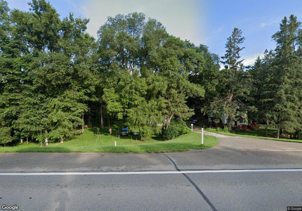
6535 Highway 63 N Rochester, MN 55906
Estimated Value: $247,000 - $400,000
3
Beds
2
Baths
2,144
Sq Ft
$160/Sq Ft
Est. Value
About This Home
This home is located at 6535 Highway 63 N, Rochester, MN 55906 and is currently estimated at $343,577, approximately $160 per square foot. 6535 Highway 63 N is a home located in Olmsted County with nearby schools including Gage Elementary School, Century Senior High School, and Rochester KinderCare.
Ownership History
Date
Name
Owned For
Owner Type
Purchase Details
Closed on
Nov 9, 2023
Sold by
Durgin-Hanson Franklin J and Durgin-Hanson Marie
Bought by
Durgin-Hanson Franklin J and Durgin-Hanson Marie
Current Estimated Value
Purchase Details
Closed on
Sep 25, 2019
Sold by
Dennis Terry D and Dennis Juliane F
Bought by
Durgin Hanson Franklin J
Home Financials for this Owner
Home Financials are based on the most recent Mortgage that was taken out on this home.
Original Mortgage
$129,400
Interest Rate
3.5%
Mortgage Type
New Conventional
Purchase Details
Closed on
Jul 15, 2016
Sold by
Dennis Terry D and Dennis Juliane F
Bought by
Durgin Hanson Franklin J
Home Financials for this Owner
Home Financials are based on the most recent Mortgage that was taken out on this home.
Original Mortgage
$140,000
Interest Rate
5.5%
Mortgage Type
Seller Take Back
Create a Home Valuation Report for This Property
The Home Valuation Report is an in-depth analysis detailing your home's value as well as a comparison with similar homes in the area
Home Values in the Area
Average Home Value in this Area
Purchase History
| Date | Buyer | Sale Price | Title Company |
|---|---|---|---|
| Durgin-Hanson Franklin J | $500 | None Listed On Document | |
| Durgin Hanson Franklin J | $145,000 | None Available | |
| Durgin Hanson Franklin J | $145,000 | Attorney |
Source: Public Records
Mortgage History
| Date | Status | Borrower | Loan Amount |
|---|---|---|---|
| Previous Owner | Durgin Hanson Franklin J | $129,400 | |
| Previous Owner | Durgin Hanson Franklin J | $140,000 |
Source: Public Records
Tax History Compared to Growth
Tax History
| Year | Tax Paid | Tax Assessment Tax Assessment Total Assessment is a certain percentage of the fair market value that is determined by local assessors to be the total taxable value of land and additions on the property. | Land | Improvement |
|---|---|---|---|---|
| 2024 | $2,518 | $245,500 | $100,000 | $145,500 |
| 2023 | $2,270 | $241,600 | $100,000 | $141,600 |
| 2022 | $1,720 | $198,100 | $80,000 | $118,100 |
| 2021 | $1,630 | $173,300 | $80,000 | $93,300 |
| 2020 | $1,640 | $166,000 | $80,000 | $86,000 |
| 2019 | $1,538 | $158,000 | $80,000 | $78,000 |
| 2018 | $1,476 | $155,000 | $80,000 | $75,000 |
| 2017 | $1,482 | $147,200 | $80,000 | $67,200 |
| 2016 | $1,564 | $119,800 | $66,500 | $53,300 |
| 2015 | $1,458 | $129,200 | $80,000 | $49,200 |
| 2014 | $1,448 | $129,200 | $80,000 | $49,200 |
| 2012 | -- | $129,600 | $80,000 | $49,600 |
Source: Public Records
Map
Nearby Homes
- TBD Salley Ridge (L4b1 Phase 2) Ln NE
- TBD Salley Ridge (L2b1 Phase 2) Ln NE
- 739 55th St NE Unit 30
- 2033 Hadley Hills Dr NE
- 2163 Hadley Hills Dr NE
- 1893 Hadley Hills Dr NE
- 1845 Hadley Hills Dr NE
- Mckinley Plan at Hadley Hills
- Vanderbilt Plan at Hadley Hills
- Sinclair Plan at Hadley Hills
- Lewis Plan at Hadley Hills
- 1870 Hadley Hills Dr NE
- 499 73rd St NW
- 2335 Hadley Hills Dr NE
- 6317 Oak Meadow Ln NW
- 4359 22nd Ave NE
- 4386 22nd Ave NE
- 1495 Hadley Creek Dr NE
- 1459 Hadley Creek Dr NE
- 1441 Hadley Creek Dr NE
- 6617 Shady Lane Dr NE
- 6550 Highway 63 N
- 6550 Highway 63 N
- 1636 Ridge Dr NE
- 6530 Shady Lane Dr NE
- 6526 Shady Lane Dr NE
- 6553 Shady Lane Dr NE
- 1881 65th St NE
- 1506 Buckridge Dr NE
- 6524 Shady Lane Dr NE
- 1701 Ridge Dr NE
- 1901 65th St NE
- 1526 Buckridge Dr NE
- 1418 Buckridge Dr NE
- 6522 Shady Lane Dr NE
- 6620 Highway 63 N
- 1609 Ridge Dr NE
- 6275 Highway 63 N
- 6275 Broadway Ave N
- 6525 Shady Lane Dr NE