6535 Lakeshore Dr Gainesville, GA 30506
Estimated Value: $502,572 - $853,000
3
Beds
3
Baths
1,792
Sq Ft
$346/Sq Ft
Est. Value
About This Home
This home is located at 6535 Lakeshore Dr, Gainesville, GA 30506 and is currently estimated at $620,143, approximately $346 per square foot. 6535 Lakeshore Dr is a home located in Hall County with nearby schools including Lanier Elementary School, Chestatee Middle School, and Chestatee High School.
Ownership History
Date
Name
Owned For
Owner Type
Purchase Details
Closed on
May 8, 2019
Sold by
Hunt Cristi M
Bought by
Hunt Michael A
Current Estimated Value
Purchase Details
Closed on
Sep 27, 2001
Sold by
Hunt Michael A
Bought by
Hunt Michael A and Hunt Cristi M
Home Financials for this Owner
Home Financials are based on the most recent Mortgage that was taken out on this home.
Original Mortgage
$153,000
Interest Rate
6.87%
Mortgage Type
New Conventional
Purchase Details
Closed on
Jun 23, 1999
Sold by
Stancil Amelia S
Bought by
Stepp Julia Stancil
Create a Home Valuation Report for This Property
The Home Valuation Report is an in-depth analysis detailing your home's value as well as a comparison with similar homes in the area
Home Values in the Area
Average Home Value in this Area
Purchase History
| Date | Buyer | Sale Price | Title Company |
|---|---|---|---|
| Hunt Michael A | -- | -- | |
| Hunt Michael A | -- | -- | |
| Stepp Julia Stancil | $16,800 | -- |
Source: Public Records
Mortgage History
| Date | Status | Borrower | Loan Amount |
|---|---|---|---|
| Previous Owner | Hunt Michael A | $153,000 |
Source: Public Records
Tax History Compared to Growth
Tax History
| Year | Tax Paid | Tax Assessment Tax Assessment Total Assessment is a certain percentage of the fair market value that is determined by local assessors to be the total taxable value of land and additions on the property. | Land | Improvement |
|---|---|---|---|---|
| 2024 | $4,293 | $170,960 | $55,760 | $115,200 |
| 2023 | $4,109 | $163,520 | $55,760 | $107,760 |
| 2022 | $3,654 | $139,160 | $53,520 | $85,640 |
| 2021 | $3,626 | $135,480 | $53,520 | $81,960 |
| 2020 | $3,627 | $131,600 | $53,520 | $78,080 |
| 2019 | $3,520 | $126,480 | $53,520 | $72,960 |
| 2018 | $3,586 | $123,880 | $58,560 | $65,320 |
| 2017 | $2,755 | $96,240 | $37,120 | $59,120 |
| 2016 | $2,689 | $96,240 | $37,120 | $59,120 |
| 2015 | $2,711 | $96,240 | $37,120 | $59,120 |
| 2014 | $2,711 | $96,240 | $37,120 | $59,120 |
Source: Public Records
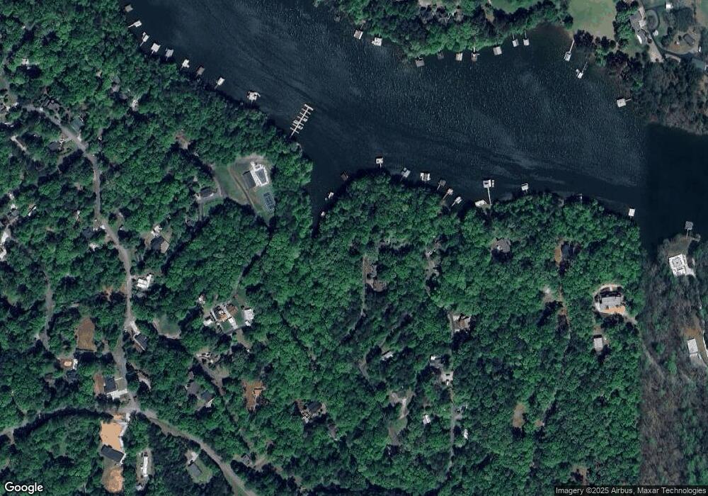
Map
Nearby Homes
- 6553 Woodhill Cir
- 6121 Timberidge Dr
- 5651 Old Wilkie Rd
- 6016 Bluewater Blvd
- 5728 Ridgewater Dr
- 6223 Eagle Ct
- 6223 Eagle Ct Unit 6215, 6219 INCLUDED
- 6317 Falcon Ln
- 6157 Grant Ford Rd
- 5775 Ridgewater Cir
- 5779 Ridgewater Cir
- 5739 Ridgewater Cir
- 5766 Ridgewater Cir
- 6039 Bluewater Blvd
- 6113 Deepwater Cove
- 6008 Tradewinds Cove
- 6010 Moonlight Place
- 6011 Tradewinds Cove
- 6539 Lakeshore Dr
- 6531 Lakeshore Dr
- 6536 Lakeshore Dr
- 6543 Lakeshore Dr
- 6605 Lakeshore Dr
- 6528 Lakeshore Dr
- 6527 Lakeshore Dr Unit 43-47a
- 6527 Lakeshore Dr Unit 45-47,47A
- 6527 Lakeshore Dr
- 6616 Lakeshore Dr
- 6607 Lakeshore Dr
- 6611 Lakeshore Dr
- 6518 Lakeshore Dr
- 6615 Lakeshore Dr
- 6619 Lakeshore Dr
- 0 Lakeshore Dr Unit 3192545
- 0 Lakeshore Dr Unit 8723290
- 0 Lakeshore Dr Unit 8702923
- 0 Lakeshore Dr Unit 8690889
- 0 Lakeshore Dr Unit 8689236