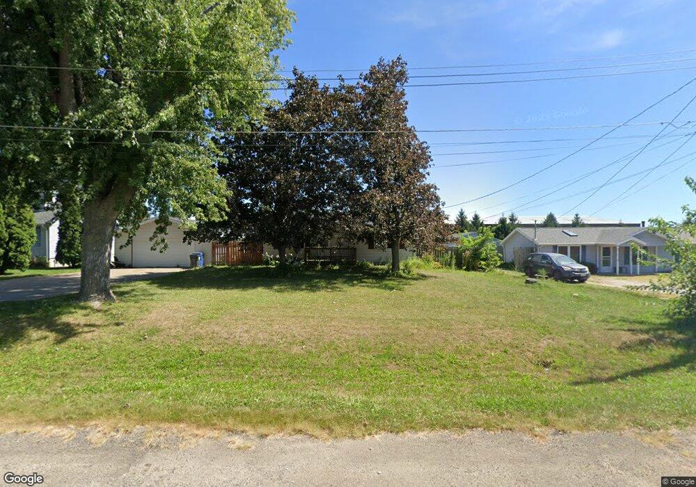
6535 N Main St Davenport, IA 52806
North Side NeighborhoodEstimated Value: $145,000 - $181,000
2
Beds
1
Bath
912
Sq Ft
$183/Sq Ft
Est. Value
About This Home
This home is located at 6535 N Main St, Davenport, IA 52806 and is currently estimated at $166,779, approximately $182 per square foot. 6535 N Main St is a home located in Scott County with nearby schools including Fillmore Elementary School, Wood Intermediate School, and North High School.
Ownership History
Date
Name
Owned For
Owner Type
Purchase Details
Closed on
Mar 7, 2006
Sold by
Household Finance Industrial Loan Co
Bought by
Johnson Kendall and Youngman Johnson Corinna
Current Estimated Value
Home Financials for this Owner
Home Financials are based on the most recent Mortgage that was taken out on this home.
Original Mortgage
$15,948
Interest Rate
6.38%
Mortgage Type
New Conventional
Create a Home Valuation Report for This Property
The Home Valuation Report is an in-depth analysis detailing your home's value as well as a comparison with similar homes in the area
Home Values in the Area
Average Home Value in this Area
Purchase History
| Date | Buyer | Sale Price | Title Company |
|---|---|---|---|
| Johnson Kendall | $77,000 | Excel Title Company Inc |
Source: Public Records
Mortgage History
| Date | Status | Borrower | Loan Amount |
|---|---|---|---|
| Closed | Johnson Kendall | $15,948 | |
| Open | Johnson Kendall | $63,792 |
Source: Public Records
Tax History Compared to Growth
Tax History
| Year | Tax Paid | Tax Assessment Tax Assessment Total Assessment is a certain percentage of the fair market value that is determined by local assessors to be the total taxable value of land and additions on the property. | Land | Improvement |
|---|---|---|---|---|
| 2025 | $2,068 | $139,920 | $24,990 | $114,930 |
| 2024 | $2,196 | $125,910 | $24,990 | $100,920 |
| 2023 | $2,196 | $125,910 | $24,990 | $100,920 |
| 2022 | $2,204 | $111,680 | $19,990 | $91,690 |
| 2021 | $2,204 | $111,680 | $19,990 | $91,690 |
| 2020 | $2,094 | $105,180 | $19,990 | $85,190 |
| 2019 | $2,258 | $101,120 | $19,990 | $81,130 |
| 2018 | $393 | $101,120 | $19,990 | $81,130 |
| 2017 | $562 | $101,120 | $19,990 | $81,130 |
| 2016 | $2,024 | $101,120 | $0 | $0 |
| 2015 | $2,024 | $103,720 | $0 | $0 |
| 2014 | $2,110 | $103,720 | $0 | $0 |
| 2013 | $2,070 | $0 | $0 | $0 |
| 2012 | -- | $96,180 | $19,490 | $76,690 |
Source: Public Records
Map
Nearby Homes
- 6209 Fair Ave
- 6205 N Ripley St
- 6127 Fair Ave
- 665 W 64th St
- 6109 N Brady St
- 6112 Western Ave
- 6308 Appomattox Rd
- LOT 54 Franklin Ave
- Lot 56 Franklin Ave
- Lot 26 Benjamin Ct
- 1010 Olde Brandy Ln
- 803 W 57th St
- 6524 Lillie Ave
- 1265 W 63rd St
- 1005 W 58th St
- 1070 Olde Brandy Ln
- 6310 Deere Creek Ln
- 1301 W 62nd Ct
- 5804 Lillie Ave
- 6224 Deere Creek Ln
- 6523 N Main St
- 6605 N Main St
- 6536 N Main St
- 6611 N Main St
- 6606 N Main St
- 6524 N Main St
- 6612 N Main St
- 6623 N Main St
- 6601 Harrison St
- 6605 Harrison St
- 6631 N Main St
- 6632 N Main St
- 6635 N Main St
- 6600 Harrison St
- 6636 N Main St
- 6700 Harrison St
- 6604 N Harrison St
- 306 Betsy Ross Place
- 314 Betsy Ross Place
- 6534 N Harrison St