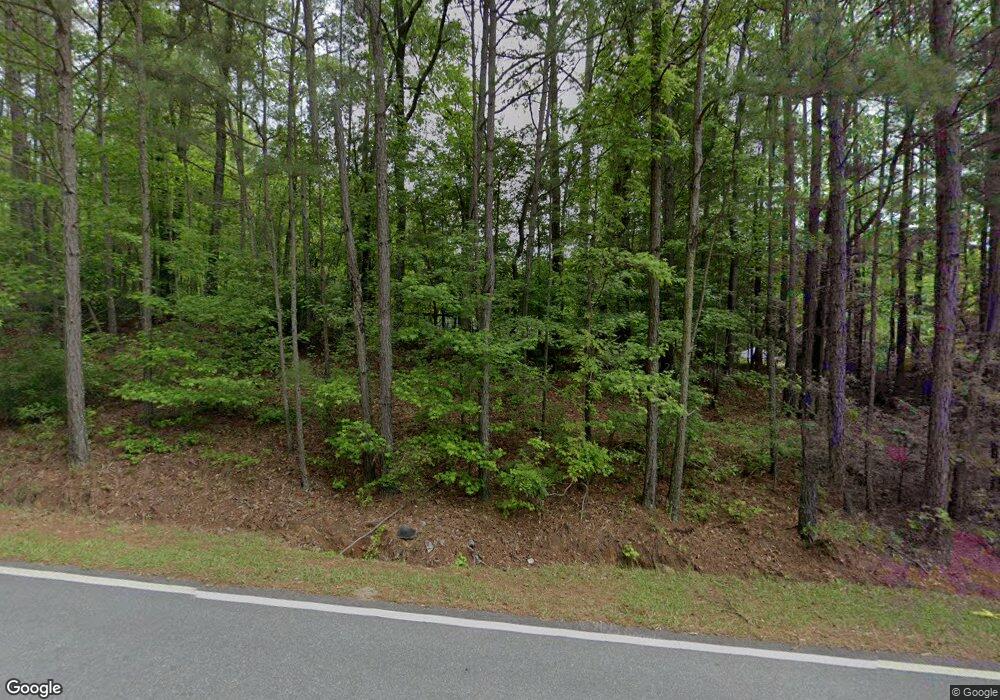
654 Bankstown Rd Brooks, GA 30205
Estimated Value: $543,000 - $692,000
--
Bed
--
Bath
3,130
Sq Ft
$203/Sq Ft
Est. Value
About This Home
This home is located at 654 Bankstown Rd, Brooks, GA 30205 and is currently estimated at $636,106, approximately $203 per square foot. 654 Bankstown Rd is a home located in Fayette County with nearby schools including Peeples Elementary School, Whitewater Middle School, and Whitewater High School.
Ownership History
Date
Name
Owned For
Owner Type
Purchase Details
Closed on
Sep 6, 2001
Sold by
Watts Laura S
Bought by
Watts William G and Watts Laura S
Current Estimated Value
Home Financials for this Owner
Home Financials are based on the most recent Mortgage that was taken out on this home.
Original Mortgage
$154,200
Outstanding Balance
$60,086
Interest Rate
6.98%
Mortgage Type
New Conventional
Estimated Equity
$576,020
Purchase Details
Closed on
Jul 27, 2000
Sold by
Mcgrath Ann M
Bought by
Watts William G and Watts Laura S
Home Financials for this Owner
Home Financials are based on the most recent Mortgage that was taken out on this home.
Original Mortgage
$150,000
Interest Rate
8.12%
Mortgage Type
New Conventional
Create a Home Valuation Report for This Property
The Home Valuation Report is an in-depth analysis detailing your home's value as well as a comparison with similar homes in the area
Home Values in the Area
Average Home Value in this Area
Purchase History
| Date | Buyer | Sale Price | Title Company |
|---|---|---|---|
| Watts William G | -- | -- | |
| Watts William G | $242,500 | -- |
Source: Public Records
Mortgage History
| Date | Status | Borrower | Loan Amount |
|---|---|---|---|
| Open | Watts William G | $154,200 | |
| Previous Owner | Watts William G | $150,000 |
Source: Public Records
Tax History Compared to Growth
Tax History
| Year | Tax Paid | Tax Assessment Tax Assessment Total Assessment is a certain percentage of the fair market value that is determined by local assessors to be the total taxable value of land and additions on the property. | Land | Improvement |
|---|---|---|---|---|
| 2024 | $4,212 | $243,828 | $54,228 | $189,600 |
| 2023 | $4,212 | $228,012 | $47,652 | $180,360 |
| 2022 | $4,021 | $212,564 | $41,164 | $171,400 |
| 2021 | $4,021 | $189,876 | $37,996 | $151,880 |
| 2020 | $3,816 | $137,404 | $33,244 | $104,160 |
| 2019 | $3,624 | $129,260 | $29,700 | $99,560 |
| 2018 | $3,333 | $117,772 | $25,652 | $92,120 |
| 2017 | $2,921 | $103,140 | $24,300 | $78,840 |
| 2016 | $2,709 | $93,820 | $24,300 | $69,520 |
| 2015 | $2,548 | $86,860 | $24,300 | $62,560 |
| 2014 | $2,369 | $79,500 | $24,300 | $55,200 |
| 2013 | -- | $74,992 | $0 | $0 |
Source: Public Records
Map
Nearby Homes
- 1481 Highway 85 Connector
- 0 Mask and Lynch Rd Unit 10611467
- 423 Mask Rd
- 50 Daisy Harris Rd
- 141 Georgian Pines Dr
- LOT #37 Georgian Pines Dr
- 323 Hollonville Rd
- 0 Price Rd Unit LOT 2
- 0 Price Rd Unit LOT 1
- 34 Sirius Ln
- 190 Gable Rd
- 160 Carrington Ln
- 0 Morgan Mill Rd Unit LOT 7 10597544
- 0 Morgan Mill Rd Unit LOT 5 10432804
- 130 Brooklet Way
- 604 Morgan Mill Rd
- 165 Grace Hope Dr
- 460 Morgan Mill Rd
- 0 Padgett Rd Unit 10612849
- 0 Padgett Rd Unit LOT 9 10432801
- 100 Kenley Dr
- 100 Kenley Dr Unit 4
- 610 Bankstown Rd
- 623 Bankstown Rd
- 0 Kenley Dr Unit 7280282
- 0 Kenley Dr Unit 7618250
- 0 Kenley Dr Unit 3279038
- 130 Kenley Dr
- 190 Kenley Dr Unit 8
- 190 Kenley Dr
- 125 Kenley Dr
- 105 Alconbury Ct
- 150 Kenley Dr
- 596 Bankstown Rd
- 603 Bankstown Rd
- 170 Kenley Dr
- 566 Bankstown Rd
- 145 Alconbury Ct
- 1431 Highway 85 Connector
- 611 Bankstown Rd
