6540 Blue Star Hwy Saugatuck, MI 49453
Estimated Value: $475,114 - $708,000
3
Beds
2
Baths
1,578
Sq Ft
$361/Sq Ft
Est. Value
About This Home
This home is located at 6540 Blue Star Hwy, Saugatuck, MI 49453 and is currently estimated at $569,779, approximately $361 per square foot. 6540 Blue Star Hwy is a home with nearby schools including Douglas Elementary School, Saugatuck Middle School, and Saugatuck High School.
Ownership History
Date
Name
Owned For
Owner Type
Purchase Details
Closed on
Mar 12, 2008
Sold by
Warner Ginnie F
Bought by
Ristau Russell S and Ristau Tammy C
Current Estimated Value
Home Financials for this Owner
Home Financials are based on the most recent Mortgage that was taken out on this home.
Original Mortgage
$136,000
Interest Rate
5.75%
Mortgage Type
Unknown
Create a Home Valuation Report for This Property
The Home Valuation Report is an in-depth analysis detailing your home's value as well as a comparison with similar homes in the area
Home Values in the Area
Average Home Value in this Area
Purchase History
| Date | Buyer | Sale Price | Title Company |
|---|---|---|---|
| Ristau Russell S | $170,000 | Chicago Title |
Source: Public Records
Mortgage History
| Date | Status | Borrower | Loan Amount |
|---|---|---|---|
| Closed | Ristau Russell S | $136,000 |
Source: Public Records
Tax History Compared to Growth
Tax History
| Year | Tax Paid | Tax Assessment Tax Assessment Total Assessment is a certain percentage of the fair market value that is determined by local assessors to be the total taxable value of land and additions on the property. | Land | Improvement |
|---|---|---|---|---|
| 2025 | $4,619 | $215,300 | $75,200 | $140,100 |
| 2024 | -- | $202,300 | $69,300 | $133,000 |
| 2023 | $4,250 | $174,800 | $66,000 | $108,800 |
| 2022 | $4,124 | $125,500 | $26,400 | $99,100 |
| 2021 | $3,974 | $119,000 | $26,400 | $92,600 |
| 2020 | $3,710 | $104,600 | $26,400 | $78,200 |
| 2019 | $2,647 | $73,700 | $26,400 | $47,300 |
| 2018 | $2,647 | $71,600 | $26,400 | $45,200 |
| 2017 | $0 | $71,100 | $26,400 | $44,700 |
| 2016 | $0 | $72,500 | $32,700 | $39,800 |
| 2015 | -- | $72,500 | $32,700 | $39,800 |
| 2014 | -- | $70,900 | $32,700 | $38,200 |
| 2013 | -- | $71,400 | $32,700 | $38,700 |
Source: Public Records
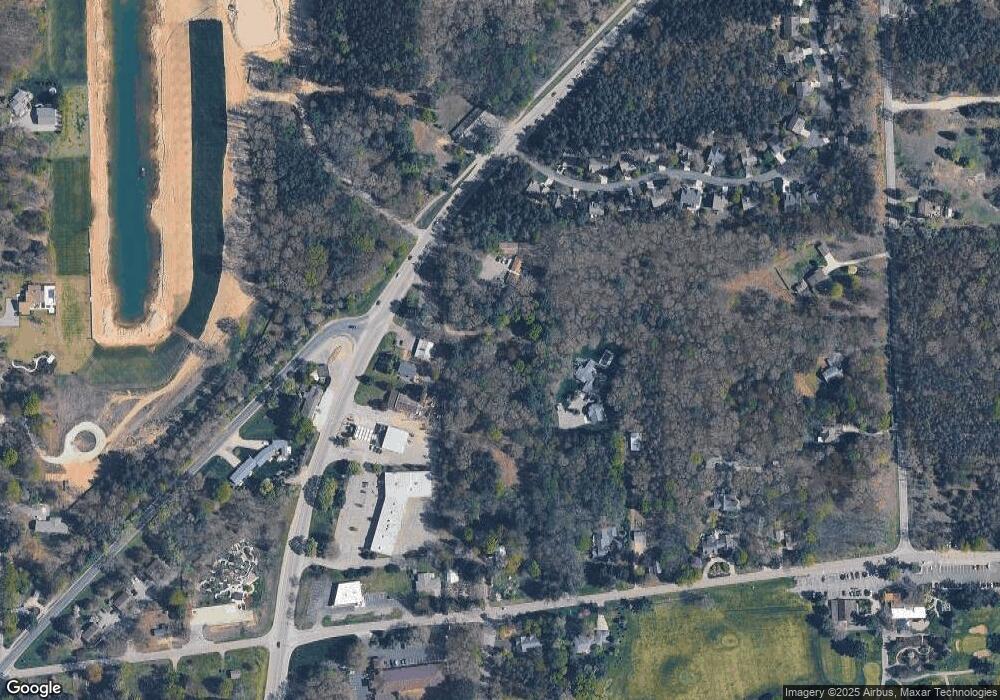
Map
Nearby Homes
- 6593 134th Ave
- 0 Sugar Hill Ct Unit 3 22025060
- 6440 Gaslight Ln
- 251 North St
- N of 3365 Clearview Ln
- 6473 Blue Star Hwy Unit 44
- 6473 Blue Star Hwy Unit 12
- 3351 Gaslight Ln
- 3577 Kingfisher Cove Dr
- 3569 Kingfisher Cove Dr
- 3341 Gaslight Ln
- 417 Spear St
- 873 Park St
- 212 N Maple St
- Lot Jack Wilson Rd
- 149 Taylor St
- 3426 63rd St
- 01 63rd St Unit D
- Lot 2 Blue Star Hwy
- VL Park St
- 3483 Blue Star Hwy
- 6535 Clearbrook Dr
- 3493 Blue Star Hwy
- 3493 Washington Ave
- 3493 Washington Ave
- 6562 Sanctuary Trail
- 6564 Sanctuary Trail
- 6564 Sanctuary Trail
- 6560 Sanctuary Trail
- 6545 Clearbrook Dr
- 6556 Sanctuary Trail Unit 31
- 6556 Sanctuary Trail
- 6563 Sanctuary Trail
- 6541 Blue Star Hwy
- 6533 Clearbrook Dr
- 3480 Blue Star Hwy
- 6549 Clearbrook Dr
- 6546 Sanctuary Trail
- 3472 Old Walnut Ln
- 6543 Clearbrook Dr