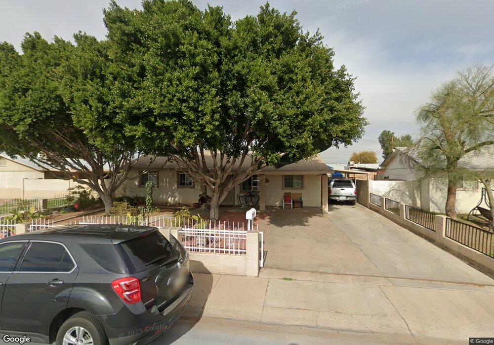
6542 W Mulberry Dr Phoenix, AZ 85033
Estimated Value: $248,853 - $304,000
--
Bed
1
Bath
952
Sq Ft
$286/Sq Ft
Est. Value
About This Home
This home is located at 6542 W Mulberry Dr, Phoenix, AZ 85033 and is currently estimated at $272,463, approximately $286 per square foot. 6542 W Mulberry Dr is a home located in Maricopa County with nearby schools including Sunset Elementary School, Desert Sands Middle School, and Trevor Browne High School.
Ownership History
Date
Name
Owned For
Owner Type
Purchase Details
Closed on
Mar 26, 2014
Sold by
Alcantar Rosa A
Bought by
Alcantar Rosa A and Cepeda Jesus F
Current Estimated Value
Home Financials for this Owner
Home Financials are based on the most recent Mortgage that was taken out on this home.
Original Mortgage
$50,900
Interest Rate
4.35%
Mortgage Type
New Conventional
Purchase Details
Closed on
Mar 31, 2000
Sold by
Irmer Catherine M
Bought by
Alcantar Rosa A
Home Financials for this Owner
Home Financials are based on the most recent Mortgage that was taken out on this home.
Original Mortgage
$67,900
Interest Rate
8.3%
Mortgage Type
New Conventional
Purchase Details
Closed on
Sep 5, 1997
Sold by
Irmer Arthur T J and Irmer Catherine M
Bought by
Irmer Arthur T J and Irmer Catherine M
Create a Home Valuation Report for This Property
The Home Valuation Report is an in-depth analysis detailing your home's value as well as a comparison with similar homes in the area
Home Values in the Area
Average Home Value in this Area
Purchase History
| Date | Buyer | Sale Price | Title Company |
|---|---|---|---|
| Alcantar Rosa A | -- | None Available | |
| Alcantar Rosa A | $75,000 | Fidelity National Title | |
| Irmer Arthur T J | -- | -- |
Source: Public Records
Mortgage History
| Date | Status | Borrower | Loan Amount |
|---|---|---|---|
| Closed | Alcantar Rosa A | $50,900 | |
| Closed | Alcantar Rosa A | $67,900 |
Source: Public Records
Tax History Compared to Growth
Tax History
| Year | Tax Paid | Tax Assessment Tax Assessment Total Assessment is a certain percentage of the fair market value that is determined by local assessors to be the total taxable value of land and additions on the property. | Land | Improvement |
|---|---|---|---|---|
| 2025 | $1,733 | $11,173 | -- | -- |
| 2024 | $1,777 | $10,641 | -- | -- |
| 2023 | $1,777 | $20,950 | $4,190 | $16,760 |
| 2022 | $1,668 | $17,650 | $3,530 | $14,120 |
| 2021 | $1,703 | $15,600 | $3,120 | $12,480 |
| 2020 | $1,607 | $13,470 | $2,690 | $10,780 |
| 2019 | $1,534 | $11,580 | $2,310 | $9,270 |
| 2018 | $745 | $8,960 | $1,790 | $7,170 |
| 2017 | $711 | $7,080 | $1,410 | $5,670 |
| 2016 | $679 | $5,950 | $1,190 | $4,760 |
| 2015 | $626 | $6,150 | $1,230 | $4,920 |
Source: Public Records
Map
Nearby Homes
- 6516 W Cheery Lynn Rd
- 6711 W Osborn Rd Unit 143
- 6429 W Osborn Rd
- 6426 W Mulberry Dr
- 3646 N 67th Ave Unit 67
- 3646 N 67th Ave Unit 96
- 3646 N 67th Ave Unit 29
- 3614 N 64th Dr
- 3645 N 69th Ave Unit 11
- 3645 N 69th Ave Unit 99
- 3806 N 64th Dr
- 3316 N 63rd Ave
- 3120 N 67th Ln Unit 96
- 6447 W Piccadilly Rd
- 6137 W Britton Ave
- 3645 N 71st Ave Unit 28
- 6223 W Earll Dr
- 3319 N 61st Ave
- 6866 W Indian School Rd Unit 1
- 5977 W Britton Ave
- 6602 W Mulberry Dr
- 6532 W Mulberry Dr
- 6541 W Osborn Rd
- 6601 W Osborn Rd Unit 8
- 6606 W Mulberry Dr
- 6537 W Osborn Rd
- 6539 W Mulberry Dr
- 6601 W Mulberry Dr
- 6533 W Mulberry Dr
- 6526 W Mulberry Dr
- 6531 W Osborn Rd
- 6607 W Mulberry Dr
- 6613 W Osborn Rd
- 6610 W Mulberry Dr
- 6529 W Mulberry Dr
- 6618 W Mulberry Dr
- 6527 W Osborn Rd
- 6614 W Mulberry Dr
- 6522 W Mulberry Dr
- 6613 W Mulberry Dr