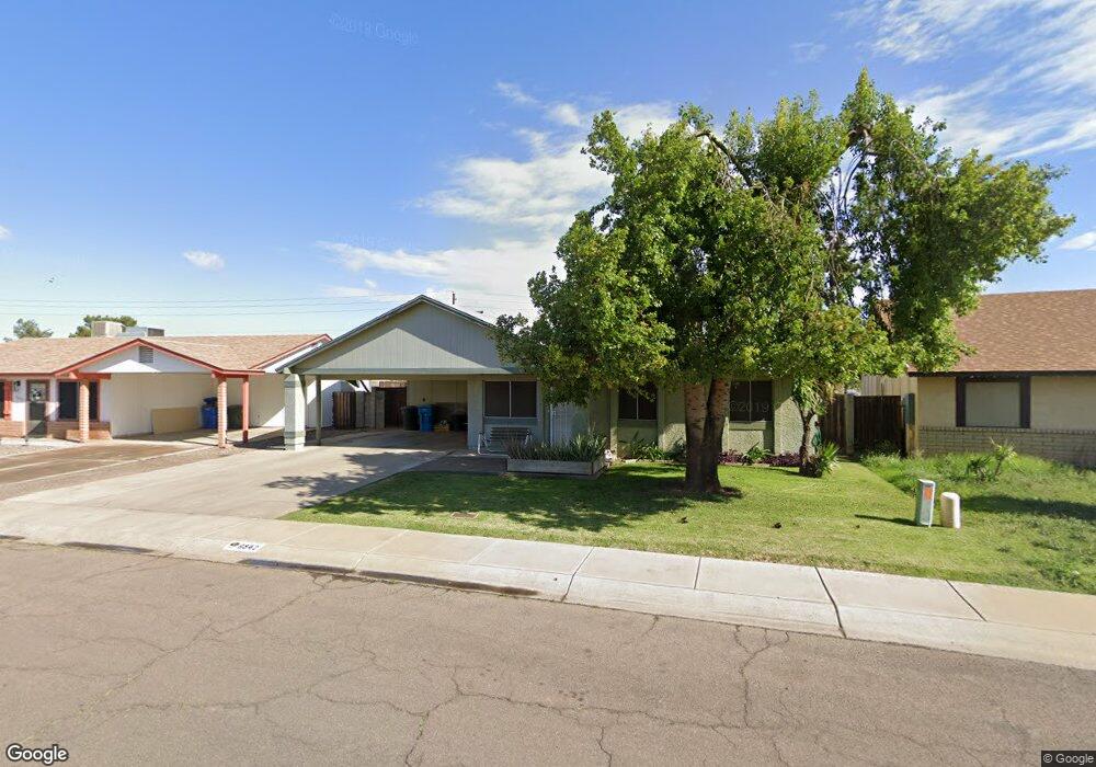
6542 W Papago St Phoenix, AZ 85043
Estrella Village NeighborhoodEstimated Value: $302,699 - $386,000
--
Bed
2
Baths
1,452
Sq Ft
$239/Sq Ft
Est. Value
About This Home
This home is located at 6542 W Papago St, Phoenix, AZ 85043 and is currently estimated at $346,675, approximately $238 per square foot. 6542 W Papago St is a home located in Maricopa County with nearby schools including Western Valley Elementary School, Western Valley Middle School, and Sierra Linda High School.
Ownership History
Date
Name
Owned For
Owner Type
Purchase Details
Closed on
May 1, 2009
Sold by
Theel Robert and Theel Geraldine
Bought by
Theel Robert A and Theel Geraldine
Current Estimated Value
Purchase Details
Closed on
Dec 4, 2008
Sold by
Theel Robert A and Theel Geraldine P
Bought by
Theel Robert and Theel Geraldine
Home Financials for this Owner
Home Financials are based on the most recent Mortgage that was taken out on this home.
Original Mortgage
$45,000
Interest Rate
4.86%
Mortgage Type
New Conventional
Create a Home Valuation Report for This Property
The Home Valuation Report is an in-depth analysis detailing your home's value as well as a comparison with similar homes in the area
Home Values in the Area
Average Home Value in this Area
Purchase History
| Date | Buyer | Sale Price | Title Company |
|---|---|---|---|
| Theel Robert A | -- | Accommodation | |
| Theel Robert | -- | Fidelity National Title |
Source: Public Records
Mortgage History
| Date | Status | Borrower | Loan Amount |
|---|---|---|---|
| Closed | Theel Robert | $45,000 |
Source: Public Records
Tax History Compared to Growth
Tax History
| Year | Tax Paid | Tax Assessment Tax Assessment Total Assessment is a certain percentage of the fair market value that is determined by local assessors to be the total taxable value of land and additions on the property. | Land | Improvement |
|---|---|---|---|---|
| 2025 | $987 | $7,953 | -- | -- |
| 2024 | $876 | $7,574 | -- | -- |
| 2023 | $876 | $24,130 | $4,820 | $19,310 |
| 2022 | $852 | $17,710 | $3,540 | $14,170 |
| 2021 | $807 | $16,930 | $3,380 | $13,550 |
| 2020 | $778 | $15,000 | $3,000 | $12,000 |
| 2019 | $770 | $14,150 | $2,830 | $11,320 |
| 2018 | $714 | $11,930 | $2,380 | $9,550 |
| 2017 | $670 | $9,280 | $1,850 | $7,430 |
| 2016 | $661 | $7,880 | $1,570 | $6,310 |
| 2015 | $591 | $6,330 | $1,260 | $5,070 |
Source: Public Records
Map
Nearby Homes
- 1417 S 66th Ln
- 6333 W Nez Perce St
- 6625 W Chickasaw St
- 6413 W Chickasaw St
- 2308 S 66th Ln
- 6419 W Watkins St
- 6410 W Hughes Dr
- 6403 W Winslow Ave
- 6541 W Cordes Rd
- 7216 W Hilton Ave
- 2842 S 63rd Dr
- 7347 W Hughes Dr
- 0 59th & Roosevelt -- Unit 6946041
- 6430 W Van Buren St Unit 10
- 6537 W Riva Rd
- 6606 W Polk St
- 7105 W Globe Ave
- 410 N 67th Ln
- 6420 W Van Buren St Unit B4
- 6804 W Polk St Unit 225
- 6602 W Papago St
- 6608 W Papago St
- 6524 W Papago Ct Unit VI
- 6524 W Papago Ct
- 6520 W Papago Ct
- 6520 W Papago Ct Unit IV
- 6539 W Papago St
- 6601 W Papago St
- 6514 W Papago Ct
- 6535 W Papago St
- 6614 W Papago St Unit VI
- 6609 W Papago St
- 6531 W Papago St
- 6622 W Papago St
- 6602 W Yuma St
- 6508 W Papago Ct
- 1413 S 66th Dr
- 6546 W Yuma St
- 6608 W Yuma St Unit VI
- 6529 W Papago St