6545 N State Road 135 Morgantown, IN 46160
Estimated Value: $413,000 - $487,890
4
Beds
3
Baths
2,332
Sq Ft
$191/Sq Ft
Est. Value
About This Home
This home is located at 6545 N State Road 135, Morgantown, IN 46160 and is currently estimated at $445,630, approximately $191 per square foot. 6545 N State Road 135 is a home located in Brown County with nearby schools including Brown County High School.
Ownership History
Date
Name
Owned For
Owner Type
Purchase Details
Closed on
Dec 5, 2014
Sold by
Smith Kent D and Smith Michele D
Bought by
State Of Indiana
Current Estimated Value
Create a Home Valuation Report for This Property
The Home Valuation Report is an in-depth analysis detailing your home's value as well as a comparison with similar homes in the area
Home Values in the Area
Average Home Value in this Area
Purchase History
| Date | Buyer | Sale Price | Title Company |
|---|---|---|---|
| State Of Indiana | $5,625 | Attorney |
Source: Public Records
Tax History Compared to Growth
Tax History
| Year | Tax Paid | Tax Assessment Tax Assessment Total Assessment is a certain percentage of the fair market value that is determined by local assessors to be the total taxable value of land and additions on the property. | Land | Improvement |
|---|---|---|---|---|
| 2024 | $967 | $308,500 | $48,500 | $260,000 |
| 2023 | $973 | $289,500 | $48,400 | $241,100 |
| 2022 | $1,096 | $273,700 | $43,400 | $230,300 |
| 2021 | $1,057 | $251,300 | $38,400 | $212,900 |
| 2020 | $854 | $225,300 | $33,400 | $191,900 |
| 2019 | $812 | $218,100 | $33,400 | $184,700 |
| 2018 | $982 | $213,200 | $33,300 | $179,900 |
| 2017 | $954 | $203,300 | $33,300 | $170,000 |
| 2016 | $778 | $175,300 | $32,900 | $142,400 |
| 2014 | $636 | $172,500 | $33,300 | $139,200 |
| 2013 | $636 | $169,500 | $33,300 | $136,200 |
Source: Public Records
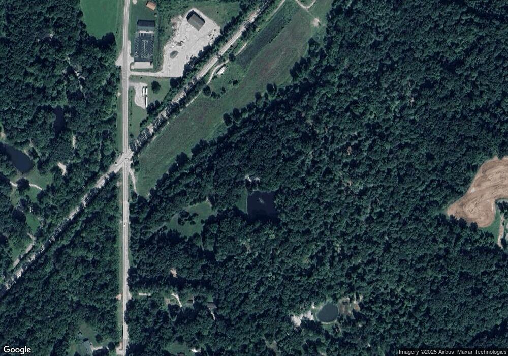
Map
Nearby Homes
- 5994 Pine Tree Ln
- 7258 N Richardson Dr
- 6412 N Stinson Rd
- 4837 Covered Bridge Rd
- 5821 N Bittersweet Rd
- 8546 N Chickadee Dr
- 7616 N Oak Ridge Rd
- 8584 Old Haggard Rd
- 1058 Freeman Ridge Rd
- 4938 2nd St
- 0 N Lick Creek Rd Unit 24703470
- 0 Beanblossom Rd Unit MBR22059702
- 0 W Cottonwood Rd
- 2289 Twinlake Rd
- 9464 N State Road 135
- 9660 Old Haggard Rd
- 7847 Bean Blossom Rd
- 5175 Bean Blossom Rd
- 3399 W Cottonwood Rd
- 3559 Helmsburg Rd
- 6519 N State Road 135
- 6515 N State Road 135
- 6883 N State Road 135
- 6733 Morgan Ln
- 6833 N State Road 135
- 6881 N State Road 135
- 6883 N 135 State Rd
- 6447 N State Road 135
- 6754 N Railroad Rd
- 6450 N State Road 135
- 6883 N State Road 135
- 6660 N Railroad Rd
- 6450 N State Road 135
- 6746 N Railroad Rd
- 6912 N State Road 135
- 6616 N Railroad Rd
- 6720 N Railroad Rd
- 6720 N Railroad Rd
- 6678 N Railroad Rd
- 6410 N State Road 135