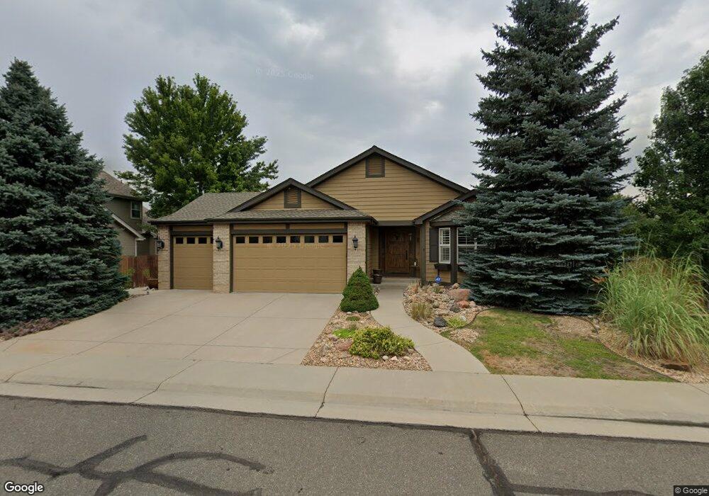
6547 Nile Cir Arvada, CO 80007
Meadows at Westwoods NeighborhoodEstimated Value: $782,000 - $1,006,000
3
Beds
3
Baths
2,040
Sq Ft
$422/Sq Ft
Est. Value
About This Home
This home is located at 6547 Nile Cir, Arvada, CO 80007 and is currently estimated at $860,003, approximately $421 per square foot. 6547 Nile Cir is a home located in Jefferson County with nearby schools including West Woods Elementary School, Drake Junior High School, and Ralston Valley Senior High School.
Ownership History
Date
Name
Owned For
Owner Type
Purchase Details
Closed on
Jul 15, 2015
Sold by
Ishil Jordon and Ishii Holli
Bought by
Burniece William B and Burniece Katherine M
Current Estimated Value
Home Financials for this Owner
Home Financials are based on the most recent Mortgage that was taken out on this home.
Original Mortgage
$373,000
Outstanding Balance
$291,249
Interest Rate
3.9%
Mortgage Type
New Conventional
Estimated Equity
$568,754
Purchase Details
Closed on
Dec 14, 2005
Sold by
Land Darrel E and Land Bonnie L
Bought by
Ishii Jordon and Ishii Holli
Home Financials for this Owner
Home Financials are based on the most recent Mortgage that was taken out on this home.
Original Mortgage
$251,250
Interest Rate
6.29%
Mortgage Type
Stand Alone First
Purchase Details
Closed on
Jan 16, 1997
Sold by
U S Home Corp
Bought by
Land Darrel E and Land Bonnie L
Home Financials for this Owner
Home Financials are based on the most recent Mortgage that was taken out on this home.
Original Mortgage
$77,650
Interest Rate
7.57%
Create a Home Valuation Report for This Property
The Home Valuation Report is an in-depth analysis detailing your home's value as well as a comparison with similar homes in the area
Home Values in the Area
Average Home Value in this Area
Purchase History
| Date | Buyer | Sale Price | Title Company |
|---|---|---|---|
| Burniece William B | $550,000 | Equity Title Company | |
| Ishii Jordon | $335,000 | America Title | |
| Land Darrel E | $187,134 | -- |
Source: Public Records
Mortgage History
| Date | Status | Borrower | Loan Amount |
|---|---|---|---|
| Open | Burniece William B | $373,000 | |
| Previous Owner | Ishii Jordon | $251,250 | |
| Previous Owner | Land Darrel E | $77,650 |
Source: Public Records
Tax History Compared to Growth
Tax History
| Year | Tax Paid | Tax Assessment Tax Assessment Total Assessment is a certain percentage of the fair market value that is determined by local assessors to be the total taxable value of land and additions on the property. | Land | Improvement |
|---|---|---|---|---|
| 2024 | $4,494 | $46,333 | $9,973 | $36,360 |
| 2023 | $4,494 | $46,333 | $9,973 | $36,360 |
| 2022 | $3,635 | $37,122 | $9,444 | $27,678 |
| 2021 | $3,695 | $38,189 | $9,715 | $28,474 |
| 2020 | $3,312 | $34,324 | $11,326 | $22,998 |
| 2019 | $3,268 | $34,324 | $11,326 | $22,998 |
| 2018 | $3,172 | $32,395 | $10,162 | $22,233 |
| 2017 | $2,904 | $32,395 | $10,162 | $22,233 |
| 2016 | $2,821 | $29,651 | $9,791 | $19,860 |
| 2015 | $2,840 | $29,651 | $9,791 | $19,860 |
| 2014 | $2,840 | $28,048 | $8,737 | $19,311 |
Source: Public Records
Map
Nearby Homes
- 6476 Orion Way
- 15902 W 64th Ave
- 15894 W 67th Place
- 15952 W 63rd Ln Unit A
- 15516 W 66th Dr Unit A
- 15492 W 65th Ave Unit C
- 15496 W 66th Dr Unit C
- 6462 Quartz Cir
- 6268 Pike Ct Unit D
- 16019 W 62nd Dr
- 6271 Mcintyre Way
- 15233 W 65th Ave Unit C
- 15296 W 66th Dr Unit G
- 6836 Poppy Ct
- 6951 Nile Ct
- 16690 W 63rd Place
- 15290 W 68th Place
- 15328 W 68th Ave
- 15336 W 68th Ave
- 15338 W 68th Ave
- 6557 Nile Cir
- 6537 Nile Cir
- 15888 W 65th Place
- 6527 Nile Cir
- 6507 Nile Cir
- 15868 W 65th Place
- 6552 Nile Cir
- 6517 Nile Cir
- 6546 Nile Cir
- 6556 Nile Cir
- 6542 Nile Cir
- 15848 W 65th Place
- 6560 Nile Cir
- 6536 Nile Cir
- 15968 W 65th Place
- 6561 Nile Cir
- 15889 W 65th Place
- 15869 W 65th Place
- 6454 Orion Way
- 6570 Nile Cir