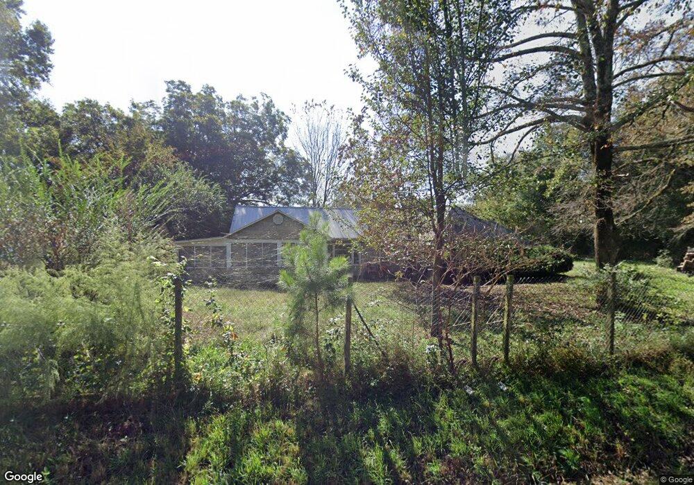
6548 Pea Ridge Rd Cornelia, GA 30531
Estimated Value: $293,339 - $356,000
3
Beds
2
Baths
2,030
Sq Ft
$160/Sq Ft
Est. Value
About This Home
This home is located at 6548 Pea Ridge Rd, Cornelia, GA 30531 and is currently estimated at $324,335, approximately $159 per square foot. 6548 Pea Ridge Rd is a home located in Habersham County with nearby schools including Level Grove Elementary School, South Habersham Middle School, and Habersham Success Academy.
Ownership History
Date
Name
Owned For
Owner Type
Purchase Details
Closed on
May 17, 2018
Sold by
Mason Carolyn Jean
Bought by
Frederick Elizabeth L
Current Estimated Value
Purchase Details
Closed on
May 1, 2007
Sold by
Not Provided
Bought by
Mason Carolyn Jean
Home Financials for this Owner
Home Financials are based on the most recent Mortgage that was taken out on this home.
Original Mortgage
$118,900
Interest Rate
6.16%
Mortgage Type
New Conventional
Create a Home Valuation Report for This Property
The Home Valuation Report is an in-depth analysis detailing your home's value as well as a comparison with similar homes in the area
Home Values in the Area
Average Home Value in this Area
Purchase History
| Date | Buyer | Sale Price | Title Company |
|---|---|---|---|
| Frederick Elizabeth L | $117,000 | -- | |
| Mason Carolyn Jean | $139,900 | -- |
Source: Public Records
Mortgage History
| Date | Status | Borrower | Loan Amount |
|---|---|---|---|
| Previous Owner | Mason Carolyn Jean | $118,900 |
Source: Public Records
Tax History
| Year | Tax Paid | Tax Assessment Tax Assessment Total Assessment is a certain percentage of the fair market value that is determined by local assessors to be the total taxable value of land and additions on the property. | Land | Improvement |
|---|---|---|---|---|
| 2025 | $1,617 | $94,075 | $17,199 | $76,876 |
| 2024 | -- | $81,036 | $9,416 | $71,620 |
| 2023 | $939 | $68,940 | $9,416 | $59,524 |
| 2022 | $1,328 | $60,700 | $9,416 | $51,284 |
| 2021 | $1,220 | $51,916 | $5,888 | $46,028 |
| 2020 | $1,179 | $45,760 | $5,888 | $39,872 |
| 2019 | $1,180 | $45,760 | $5,888 | $39,872 |
| 2018 | $1,284 | $48,052 | $5,888 | $42,164 |
| 2017 | $1,199 | $46,572 | $4,708 | $41,864 |
| 2016 | $1,162 | $116,430 | $4,708 | $41,864 |
| 2015 | $1,149 | $116,430 | $4,708 | $41,864 |
| 2014 | $1,145 | $114,030 | $4,708 | $40,904 |
| 2013 | -- | $45,612 | $4,708 | $40,904 |
Source: Public Records
Map
Nearby Homes
- 3750 Old Cleveland Rd
- 140 Kim Loop
- 834 Hancock Rd
- 155 Brentwood Dr
- 8.5 +/- Smith Loop
- 1 AC Smith Loop
- 180 Springbrook Dr
- 114 Springbrook Dr
- 241 Huntington Manor Ct
- LOT 19 Soque Trail
- 264 Canyon Point Dr
- 256 Canyon Point Dr
- 248 Canyon Point Dr
- 716 Westcrest Ln
- 183 Golden Valley Dr
- 329 Twisting Ridge Trail
- 451 Spiral Hills Dr
- 660 Bald Ridge Cir
- 668 Bald Ridge Cir
- 2994 Cannon Bridge Rd
- 6548 Pea Ridge
- 6580 Pea Ridge Rd
- 150 Blakeland Dr
- 6540 Pea Ridge Rd
- 6404 Pea Ridge Rd
- 6596 Pea Ridge Rd
- 102 Moose Hill
- 6358 Pea Ridge Rd
- 6620 Pea Ridge Rd
- 6601 Pea Ridge Rd
- 6320 Pea Ridge Rd
- 6235 Pea Ridge Rd
- 218 Hopes Cir
- 115 Moss St
- 6284 Pea Ridge Rd
- 230 Hopes Cir
- 248 Hopes Cir
- 204 Hopes Cir
- 101 Moose Hill
- 6242 Pea Ridge Rd
Your Personal Tour Guide
Ask me questions while you tour the home.