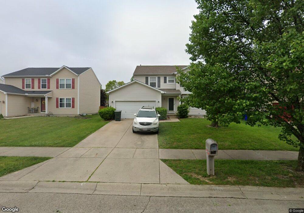
6549 Gander Rd E Dayton, OH 45424
Pheasant Hill NeighborhoodEstimated Value: $287,108 - $320,000
4
Beds
3
Baths
1,672
Sq Ft
$178/Sq Ft
Est. Value
About This Home
This home is located at 6549 Gander Rd E, Dayton, OH 45424 and is currently estimated at $297,027, approximately $177 per square foot. 6549 Gander Rd E is a home located in Montgomery County with nearby schools including Wayne High School, Pathway School of Discovery, and Huber Heights Christian Academy.
Ownership History
Date
Name
Owned For
Owner Type
Purchase Details
Closed on
Apr 6, 2001
Sold by
Ryland Group The Inc
Bought by
Young Billy R
Current Estimated Value
Home Financials for this Owner
Home Financials are based on the most recent Mortgage that was taken out on this home.
Original Mortgage
$142,252
Outstanding Balance
$50,237
Interest Rate
6.95%
Mortgage Type
FHA
Estimated Equity
$246,790
Purchase Details
Closed on
Jan 14, 2000
Sold by
Vector Development Ltd
Bought by
The Ryland Group Inc
Create a Home Valuation Report for This Property
The Home Valuation Report is an in-depth analysis detailing your home's value as well as a comparison with similar homes in the area
Home Values in the Area
Average Home Value in this Area
Purchase History
| Date | Buyer | Sale Price | Title Company |
|---|---|---|---|
| Young Billy R | $144,600 | Ryland Title | |
| The Ryland Group Inc | $149,700 | -- |
Source: Public Records
Mortgage History
| Date | Status | Borrower | Loan Amount |
|---|---|---|---|
| Open | Young Billy R | $142,252 |
Source: Public Records
Tax History
| Year | Tax Paid | Tax Assessment Tax Assessment Total Assessment is a certain percentage of the fair market value that is determined by local assessors to be the total taxable value of land and additions on the property. | Land | Improvement |
|---|---|---|---|---|
| 2025 | $4,545 | $77,630 | $17,750 | $59,880 |
| 2024 | $4,403 | $77,630 | $17,750 | $59,880 |
| 2023 | $4,403 | $77,630 | $17,750 | $59,880 |
| 2022 | $4,332 | $61,610 | $14,090 | $47,520 |
| 2021 | $4,345 | $61,610 | $14,090 | $47,520 |
| 2020 | $4,351 | $61,610 | $14,090 | $47,520 |
| 2019 | $4,200 | $52,470 | $12,250 | $40,220 |
| 2018 | $4,212 | $52,470 | $12,250 | $40,220 |
| 2017 | $4,186 | $52,470 | $12,250 | $40,220 |
| 2016 | $3,951 | $48,380 | $12,250 | $36,130 |
| 2015 | $3,903 | $48,380 | $12,250 | $36,130 |
| 2014 | $3,903 | $48,380 | $12,250 | $36,130 |
| 2012 | -- | $49,920 | $14,000 | $35,920 |
Source: Public Records
Map
Nearby Homes
- 6507 Marino
- 6669 Lexington Place N
- 6303 Copper Pheasant Dr
- 6617 Pheasant Ridge Rd
- 6241 Pheasant Hill Rd
- 6906 Buell Ln
- 6741 Stovali Dr
- 0 Gander Rd Unit 949715
- 5746 Chukar Dr
- 4521 Willow Mist Dr
- 5631 Chukar Dr
- 4418 Woodpoint Ct
- Juniper with Finished Basement Plan at Heathermere Woods - Townhomes
- 5269 Buckner Dr
- 4067 Hemlock Ct
- 4750 Whitewood Ct
- 5651 Gander Rd E
- 6795 Fishburg Rd
- 5701 Belmar Dr
- 5201 Powell Rd
- 6543 Gander Rd E
- 6555 Gander Rd E
- 6537 Gander Rd E
- 6600 Kelton Place
- 6604 Kelton Place
- 6563 Gander Rd E
- 6513 Morrell Dr
- 6544 Gander Rd E
- 6531 Gander Rd E
- 6538 Gander Rd E
- 6550 Gander Rd E
- 6601 Kelton Place
- 6519 Morrell Dr
- 6546 Semmes Ln
- 6556 Gander Rd E
- 6612 Kelton Place
- 6525 Gander Rd E
- 6578 Gander Rd E
- 6524 Gander Rd E
- 6527 Morrell Dr