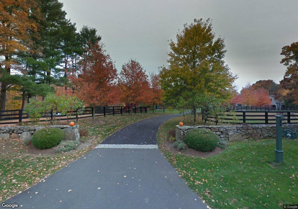
655 Catamount Rd Fairfield, CT 06824
Greenfield Hill NeighborhoodEstimated Value: $2,681,000 - $2,909,841
6
Beds
6
Baths
7,313
Sq Ft
$382/Sq Ft
Est. Value
About This Home
This home is located at 655 Catamount Rd, Fairfield, CT 06824 and is currently estimated at $2,795,421, approximately $382 per square foot. 655 Catamount Rd is a home located in Fairfield County with nearby schools including Burr Elementary School, Tomlinson Middle School, and Fairfield Warde High School.
Ownership History
Date
Name
Owned For
Owner Type
Purchase Details
Closed on
Dec 13, 2004
Sold by
Munson Properties
Bought by
Jarika Roger C and Jarika Beverly C
Current Estimated Value
Home Financials for this Owner
Home Financials are based on the most recent Mortgage that was taken out on this home.
Original Mortgage
$1,100,000
Outstanding Balance
$547,210
Interest Rate
5.63%
Estimated Equity
$2,248,211
Purchase Details
Closed on
Nov 10, 2004
Sold by
Est Coleman Esther K and Coleman Rowland H
Bought by
Manson Properties Llc
Home Financials for this Owner
Home Financials are based on the most recent Mortgage that was taken out on this home.
Original Mortgage
$1,100,000
Outstanding Balance
$547,210
Interest Rate
5.63%
Estimated Equity
$2,248,211
Create a Home Valuation Report for This Property
The Home Valuation Report is an in-depth analysis detailing your home's value as well as a comparison with similar homes in the area
Home Values in the Area
Average Home Value in this Area
Purchase History
| Date | Buyer | Sale Price | Title Company |
|---|---|---|---|
| Jarika Roger C | $2,400,000 | -- | |
| Jarika Roger C | $2,400,000 | -- | |
| Manson Properties Llc | $3,100,000 | -- | |
| Manson Properties Llc | $3,100,000 | -- |
Source: Public Records
Mortgage History
| Date | Status | Borrower | Loan Amount |
|---|---|---|---|
| Open | Manson Properties Llc | $1,100,000 | |
| Closed | Manson Properties Llc | $1,100,000 | |
| Open | Manson Properties Llc | $2,420,000 | |
| Closed | Manson Properties Llc | $2,420,000 |
Source: Public Records
Tax History
| Year | Tax Paid | Tax Assessment Tax Assessment Total Assessment is a certain percentage of the fair market value that is determined by local assessors to be the total taxable value of land and additions on the property. | Land | Improvement |
|---|---|---|---|---|
| 2025 | $43,398 | $1,528,650 | $298,610 | $1,230,040 |
| 2024 | $42,649 | $1,528,650 | $298,610 | $1,230,040 |
| 2023 | $42,053 | $1,528,650 | $298,610 | $1,230,040 |
| 2022 | $41,640 | $1,528,650 | $298,610 | $1,230,040 |
| 2021 | $41,243 | $1,528,650 | $298,610 | $1,230,040 |
| 2020 | $46,982 | $1,753,710 | $287,070 | $1,466,640 |
| 2019 | $46,982 | $1,753,710 | $287,070 | $1,466,640 |
| 2018 | $46,228 | $1,753,710 | $287,070 | $1,466,640 |
| 2017 | $45,281 | $1,753,710 | $287,070 | $1,466,640 |
| 2016 | $44,632 | $1,753,710 | $287,070 | $1,466,640 |
| 2015 | $44,617 | $1,799,810 | $319,660 | $1,480,150 |
| 2014 | $43,915 | $1,799,810 | $319,660 | $1,480,150 |
Source: Public Records
Map
Nearby Homes
- 158 Coventry Ln
- 180 Catamount Rd
- 88 Merry Meet Cir
- 212 Fence Row Dr
- 1375 Westport Turnpike
- 200 Long Meadow Rd
- 22 Brett Rd
- 4800 Congress St
- 11 Judges Hollow Rd
- 1 Greenlea Ln
- 85-95 Old Easton Turnpike
- 319 Bayberry Ln
- 9 Greenbrier Rd
- 3674 Congress St
- 6 Nutcracker Ln
- 140 Mile Common Rd
- 136 Lyons Plain Rd
- 1380 Old Academy Rd
- 282 North Ave
- 278 North Ave
- 739 Catamount Rd
- 720 Catamount Rd
- 575 Catamount Rd
- 776 Catamount Rd
- 411 Catamount Rd
- 2477 Merwins Ln
- 249 Coventry Ln
- 684 Catamount Rd
- 405 Catamount Rd
- 822 Catamount Rd
- 2425 Merwins Ln
- 508 Catamount Rd
- 255 Coventry Ln
- 600 Catamount Rd
- 478 Catamount Rd
- 864 Catamount Rd
- 211 Coventry Ln
- 919 Catamount Rd
- 147 Coventry Ln
Your Personal Tour Guide
Ask me questions while you tour the home.