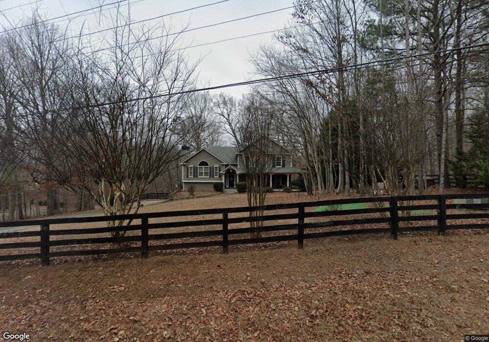
655 Darby Rd Waleska, GA 30183
Estimated Value: $483,000 - $491,440
4
Beds
3
Baths
2,329
Sq Ft
$209/Sq Ft
Est. Value
About This Home
This home is located at 655 Darby Rd, Waleska, GA 30183 and is currently estimated at $487,220, approximately $209 per square foot. 655 Darby Rd is a home located in Cherokee County with nearby schools including R. M. Moore Elementary School, Teasley Middle School, and Cherokee High School.
Ownership History
Date
Name
Owned For
Owner Type
Purchase Details
Closed on
Sep 24, 2004
Sold by
Backwood Builders Inc
Bought by
Hubbard Jason T and Hubbard Holly
Current Estimated Value
Home Financials for this Owner
Home Financials are based on the most recent Mortgage that was taken out on this home.
Original Mortgage
$158,300
Outstanding Balance
$64,614
Interest Rate
3.38%
Mortgage Type
New Conventional
Estimated Equity
$422,606
Create a Home Valuation Report for This Property
The Home Valuation Report is an in-depth analysis detailing your home's value as well as a comparison with similar homes in the area
Home Values in the Area
Average Home Value in this Area
Purchase History
| Date | Buyer | Sale Price | Title Company |
|---|---|---|---|
| Hubbard Jason T | $197,900 | -- |
Source: Public Records
Mortgage History
| Date | Status | Borrower | Loan Amount |
|---|---|---|---|
| Open | Hubbard Jason T | $158,300 |
Source: Public Records
Tax History Compared to Growth
Tax History
| Year | Tax Paid | Tax Assessment Tax Assessment Total Assessment is a certain percentage of the fair market value that is determined by local assessors to be the total taxable value of land and additions on the property. | Land | Improvement |
|---|---|---|---|---|
| 2025 | $4,410 | $192,960 | $30,000 | $162,960 |
| 2024 | $4,338 | $190,600 | $30,000 | $160,600 |
| 2023 | $3,621 | $177,160 | $30,000 | $147,160 |
| 2022 | $3,066 | $128,400 | $24,000 | $104,400 |
| 2021 | $2,981 | $113,760 | $24,000 | $89,760 |
| 2020 | $2,779 | $104,920 | $20,000 | $84,920 |
| 2019 | $2,523 | $93,880 | $20,000 | $73,880 |
| 2018 | $2,311 | $84,240 | $16,000 | $68,240 |
| 2017 | $2,360 | $214,000 | $16,000 | $69,600 |
| 2016 | $2,108 | $186,800 | $14,000 | $60,720 |
| 2015 | $2,150 | $188,600 | $14,000 | $61,440 |
| 2014 | $1,785 | $157,200 | $14,000 | $48,880 |
Source: Public Records
Map
Nearby Homes
- 134 Brookwood Trail
- 1010 Cable Rd
- 424 Cable Rd
- 990 Cable Rd
- 994 Cable Rd
- 1017 Cable Rd
- 1717 Darby Rd
- 4441 Fincher Rd
- 1723 Darby Rd
- 2020 Darby Rd
- 437 Mccurry Trail
- 1175 Bartow St
- 6231 Reinhardt College Pkwy
- 240 Land Rd
- 544 Sardis Cir
- 110 Canyon Ridge Trail
- 737 Sardis Cir
- 735 Sardis Cir
- 865 Old Mill Ln
- 509 Old Mill Ln