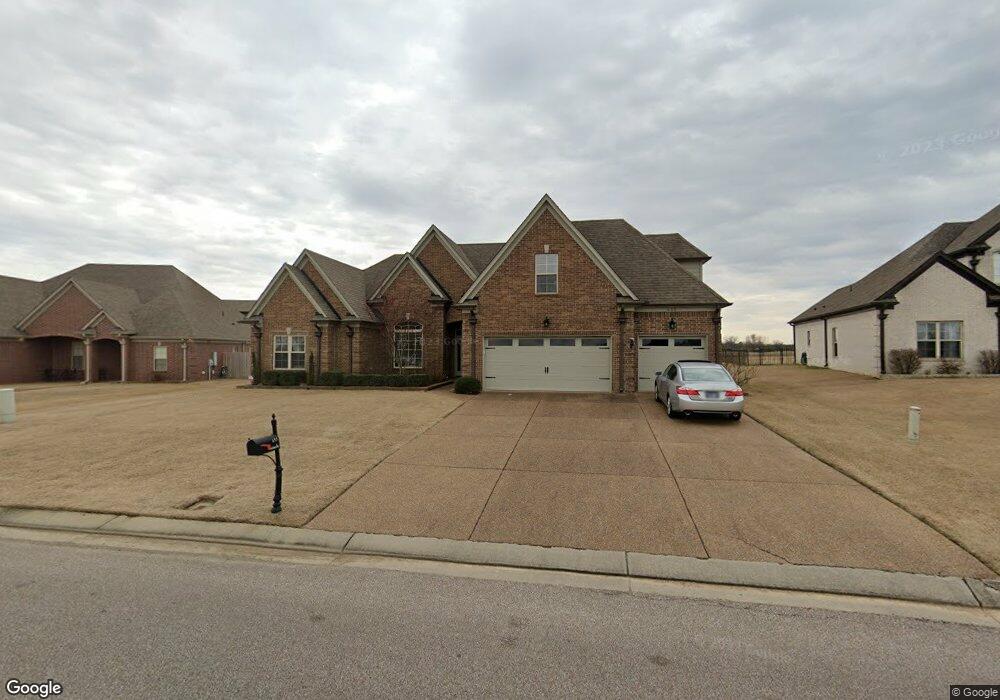
655 Fairoaks Dr Oakland, TN 38060
Estimated Value: $396,149 - $455,000
--
Bed
--
Bath
2,756
Sq Ft
$156/Sq Ft
Est. Value
About This Home
This home is located at 655 Fairoaks Dr, Oakland, TN 38060 and is currently estimated at $429,787, approximately $155 per square foot. 655 Fairoaks Dr is a home with nearby schools including Oakland Elementary School, West Junior High School, and Fayette Ware Comprehensive High School.
Ownership History
Date
Name
Owned For
Owner Type
Purchase Details
Closed on
Jan 25, 2013
Sold by
Pinion Charles
Bought by
Beaver Robert C and Beaver Mary P
Current Estimated Value
Purchase Details
Closed on
Jun 18, 2012
Sold by
Crm Central Properties Llc
Bought by
Charles Pinion and Krahl Jim
Purchase Details
Closed on
Dec 15, 2010
Bought by
Crm Central Properties Llc %Industry Consulti
Purchase Details
Closed on
Mar 28, 2008
Bought by
Faxongillis Homes Inc
Purchase Details
Closed on
Aug 16, 2007
Bought by
Vintage Homes Llc
Create a Home Valuation Report for This Property
The Home Valuation Report is an in-depth analysis detailing your home's value as well as a comparison with similar homes in the area
Home Values in the Area
Average Home Value in this Area
Purchase History
| Date | Buyer | Sale Price | Title Company |
|---|---|---|---|
| Beaver Robert C | $235,200 | -- | |
| Charles Pinion | $180,000 | -- | |
| Crm Central Properties Llc %Industry Consulti | $765,000 | -- | |
| Faxongillis Homes Inc | $549,600 | -- | |
| Vintage Homes Llc | $581,500 | -- |
Source: Public Records
Tax History Compared to Growth
Tax History
| Year | Tax Paid | Tax Assessment Tax Assessment Total Assessment is a certain percentage of the fair market value that is determined by local assessors to be the total taxable value of land and additions on the property. | Land | Improvement |
|---|---|---|---|---|
| 2024 | $2,216 | $85,775 | $12,500 | $73,275 |
| 2023 | $2,216 | $85,775 | $0 | $0 |
| 2022 | $1,469 | $85,775 | $12,500 | $73,275 |
| 2021 | $1,469 | $85,775 | $12,500 | $73,275 |
| 2020 | $1,015 | $85,775 | $12,500 | $73,275 |
| 2019 | $1,367 | $67,350 | $11,250 | $56,100 |
| 2018 | $1,406 | $67,350 | $11,250 | $56,100 |
| 2017 | $1,198 | $67,350 | $11,250 | $56,100 |
| 2016 | $1,191 | $62,625 | $9,250 | $53,375 |
| 2015 | $1,192 | $62,625 | $9,250 | $53,375 |
| 2014 | $1,192 | $62,625 | $9,250 | $53,375 |
Source: Public Records
Map
Nearby Homes
- 175 Saint Andrews Dr
- 22 Doral Loop
- 217 Saint Andrews Dr Unit 55-C
- Callahan Plan at Fair Oaks - Villas at Fair Oaks
- Clark Plan at Fair Oaks - Villas at Fair Oaks
- Gibson Plan at Fair Oaks - Villas at Fair Oaks
- 205 Saint Andrews Dr
- 325 Saint Andrews Dr
- 290 Saint Andrews Dr
- 300 Saint Andrews Dr
- 360 Saint Andrews Dr
- 235 Fairoaks Dr
- 160 Aberdeen Dr
- 15 Hughetta St
- 200 Hughetta St S
- 205 Hughetta St S
- 65 Birkdale Dr
- 75 Fairoaks Dr
- 195 Hughetta St S
- 55 Misty Ridge Loop
- 675 Fairoaks Dr
- 635 Fairoaks Dr
- 42 Saint Andrews Dr
- 40 Saint Andrews Dr
- 47 Saint Andrews Dr
- 45 St Andrews Dr
- 45 Saint Andrews Dr
- 44 Saint Andrews Dr
- 72 Saint Andrews Dr
- 605 Fairoaks Dr
- 585 Fairoaks Dr
- 97 Saint Andrews Dr
- 49 St Andrews Dr
- 49 Saint Andrews Dr
- 570 Fairoaks Dr
- 95 Saint Andrews Dr
- 95 St Andrews Way Unit 60-A1
- 95 St Andrews Way
- 95 St Andrews Dr Unit 95
- 102 Saint Andrews Dr