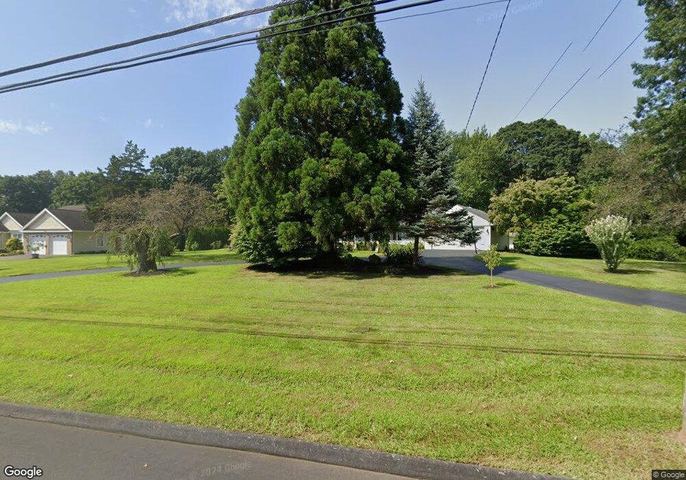
655 Highland St Wethersfield, CT 06109
Estimated Value: $419,000 - $673,000
4
Beds
4
Baths
2,937
Sq Ft
$185/Sq Ft
Est. Value
About This Home
This home is located at 655 Highland St, Wethersfield, CT 06109 and is currently estimated at $544,658, approximately $185 per square foot. 655 Highland St is a home located in Hartford County with nearby schools including Highcrest School, Silas Deane Middle School, and Wethersfield High School.
Ownership History
Date
Name
Owned For
Owner Type
Purchase Details
Closed on
Apr 26, 2024
Sold by
Delmastro Kathryn A
Bought by
Kathryn A Delmastro Ret and Delmastro
Current Estimated Value
Purchase Details
Closed on
Nov 7, 2000
Sold by
Mcmahon Dennis P
Bought by
Delmastro Patsy B and Delmastro Kathryn A
Purchase Details
Closed on
Dec 16, 1998
Sold by
Creed Don H
Bought by
Mcmahon Dennis P
Purchase Details
Closed on
Nov 9, 1998
Sold by
Creed Don H
Bought by
Mcmahon Dennis P
Create a Home Valuation Report for This Property
The Home Valuation Report is an in-depth analysis detailing your home's value as well as a comparison with similar homes in the area
Home Values in the Area
Average Home Value in this Area
Purchase History
| Date | Buyer | Sale Price | Title Company |
|---|---|---|---|
| Kathryn A Delmastro Ret | -- | None Available | |
| Delmastro Patsy B | $108,000 | -- | |
| Mcmahon Dennis P | $99,000 | -- | |
| Mcmahon Dennis P | $227,600 | -- |
Source: Public Records
Mortgage History
| Date | Status | Borrower | Loan Amount |
|---|---|---|---|
| Previous Owner | Mcmahon Dennis P | $267,500 | |
| Previous Owner | Mcmahon Dennis P | $266,300 | |
| Previous Owner | Mcmahon Dennis P | $100,000 |
Source: Public Records
Tax History
| Year | Tax Paid | Tax Assessment Tax Assessment Total Assessment is a certain percentage of the fair market value that is determined by local assessors to be the total taxable value of land and additions on the property. | Land | Improvement |
|---|---|---|---|---|
| 2025 | $12,685 | $307,730 | $123,760 | $183,970 |
| 2024 | $10,860 | $251,280 | $89,100 | $162,180 |
| 2023 | $10,498 | $251,280 | $89,100 | $162,180 |
| 2022 | $10,323 | $251,280 | $89,100 | $162,180 |
| 2021 | $10,220 | $251,280 | $89,100 | $162,180 |
| 2020 | $10,225 | $251,280 | $89,100 | $162,180 |
| 2019 | $10,237 | $251,280 | $89,100 | $162,180 |
| 2018 | $10,395 | $254,900 | $93,900 | $161,000 |
| 2017 | $10,137 | $254,900 | $93,900 | $161,000 |
| 2016 | $9,824 | $254,900 | $93,900 | $161,000 |
| 2015 | $9,735 | $254,900 | $93,900 | $161,000 |
| 2014 | $9,365 | $254,900 | $93,900 | $161,000 |
Source: Public Records
Map
Nearby Homes
- 25 Heather Hill
- 155 Old Common Rd
- 18 Stone Hill Dr
- 5 Robeth Ln
- 268 Fox Hill Rd
- 6 Vinnie Dr
- 8 Stella Dr
- 61 Luca Ln
- 312 Carlton Ln Unit 312
- 76 Luca Lane Homesite 8
- 229 Cottonwood Rd Unit 229
- 138 Cypress Rd Unit 138
- 101 Collier Rd
- 0 Collier Rd
- 378 Cypress Rd
- 15 Woodsedge Dr Unit 5C
- 9 Dogwood Ct
- 35 Woodsedge Dr Unit 4C
- 62 Harold Dr
- 634 New Britain Ave
Your Personal Tour Guide
Ask me questions while you tour the home.