Estimated Value: $217,890 - $316,000
--
Bed
--
Bath
1,806
Sq Ft
$151/Sq Ft
Est. Value
About This Home
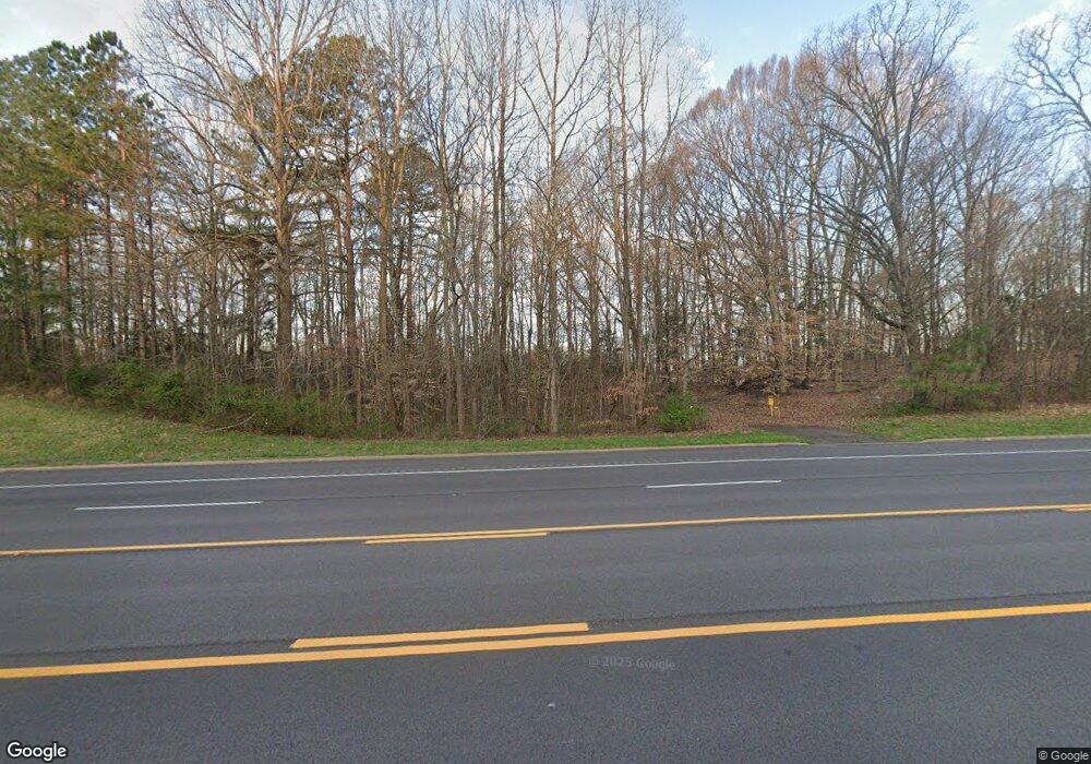
This home is located at 655 Highway 22 N, Yuma, TN 38390 and is currently estimated at $272,223, approximately $150 per square foot. 655 Highway 22 N is a home with nearby schools including Clarksburg School.
Ownership History
Date
Name
Owned For
Owner Type
Purchase Details
Closed on
Feb 18, 2003
Sold by
Walker Randall D
Bought by
Dotson Roger A
Current Estimated Value
Purchase Details
Closed on
Feb 15, 2002
Sold by
Ellis Peggy L
Bought by
Walker Randall D
Purchase Details
Closed on
Apr 4, 1997
Sold by
Walker Randall D
Bought by
Walker Randall D
Purchase Details
Closed on
Feb 25, 1997
Sold by
Walker Randall D
Bought by
Walker Randall D
Purchase Details
Closed on
Jul 21, 1993
Bought by
Walker Randall D and Walker Peggy L
Purchase Details
Closed on
Jan 1, 1987
Bought by
Walker Randall D and Walker Peggy L
Create a Home Valuation Report for This Property
The Home Valuation Report is an in-depth analysis detailing your home's value as well as a comparison with similar homes in the area
Home Values in the Area
Average Home Value in this Area
Purchase History
| Date | Buyer | Sale Price | Title Company |
|---|---|---|---|
| Dotson Roger A | $129,000 | -- | |
| Walker Randall D | -- | -- | |
| Walker Randall D | -- | -- | |
| Walker Randall D | -- | -- | |
| Walker Randall D | $500 | -- | |
| Walker Randall D | $200 | -- |
Source: Public Records
Tax History Compared to Growth
Tax History
| Year | Tax Paid | Tax Assessment Tax Assessment Total Assessment is a certain percentage of the fair market value that is determined by local assessors to be the total taxable value of land and additions on the property. | Land | Improvement |
|---|---|---|---|---|
| 2025 | -- | $68,975 | $0 | $0 |
| 2024 | -- | $38,225 | $5,325 | $32,900 |
| 2023 | $1,058 | $38,225 | $5,325 | $32,900 |
| 2022 | $1,058 | $38,225 | $5,325 | $32,900 |
| 2021 | $540 | $38,225 | $5,325 | $32,900 |
| 2020 | $1,058 | $38,225 | $5,325 | $32,900 |
| 2019 | $1,086 | $35,325 | $5,325 | $30,000 |
| 2018 | $1,086 | $35,325 | $5,325 | $30,000 |
| 2017 | $1,086 | $35,325 | $5,325 | $30,000 |
| 2016 | $1,624 | $35,325 | $5,325 | $30,000 |
| 2015 | $1,121 | $35,325 | $5,325 | $30,000 |
| 2014 | $1,124 | $35,325 | $5,325 | $30,000 |
| 2013 | $1,124 | $34,067 | $0 | $0 |
Source: Public Records
Map
Nearby Homes
- 000 County Line Rd
- 790 Roan Creek Levee Rd
- 75 Crum Rd
- 21540 Highway 22 Hwy
- 70 Rock Springs Rd
- 90 Murphy Ln
- 3390 Tennessee 22
- 987 Wildersville Rd
- 955 Express Way Church Rd
- 0 Weatherford St Unit 134445
- 0 Sandy Rd Unit 20048866
- 115 Baudy James Rd
- 2438 Leo Woods Rd
- 0 Hatch Ln
- 7 Carnal Rd
- 5300 Mount Gilead Rd
- 000 Hart Cemetery Rd
- 0 Tennessee 22
- 495 Tennessee 22
- 1354 Brandon Rd
- 790 Highway 22 N
- 125 Wall Cemetery Ln
- 145 Wall Cemetery Ln
- 250 Old Texas Ln
- 195 Wall Cemetery Ln
- 997 Highway 22 N
- 275 Old Texas Ln
- 350 Wall Cemetery Ln
- 380 Wall Cemetery Ln
- 00 Tennessee 22
- 415 Old Texas Ln
- 45 Highway 22 N
- 30 Tennessee 22
- 30 Highway 22 N
- 150 Taylor Ln
- 1052 County Line Rd
- 0 Tennessee 22
- 23335 Highway 22 N
- 1205 County Line Rd
- 1205 County Line Rd
