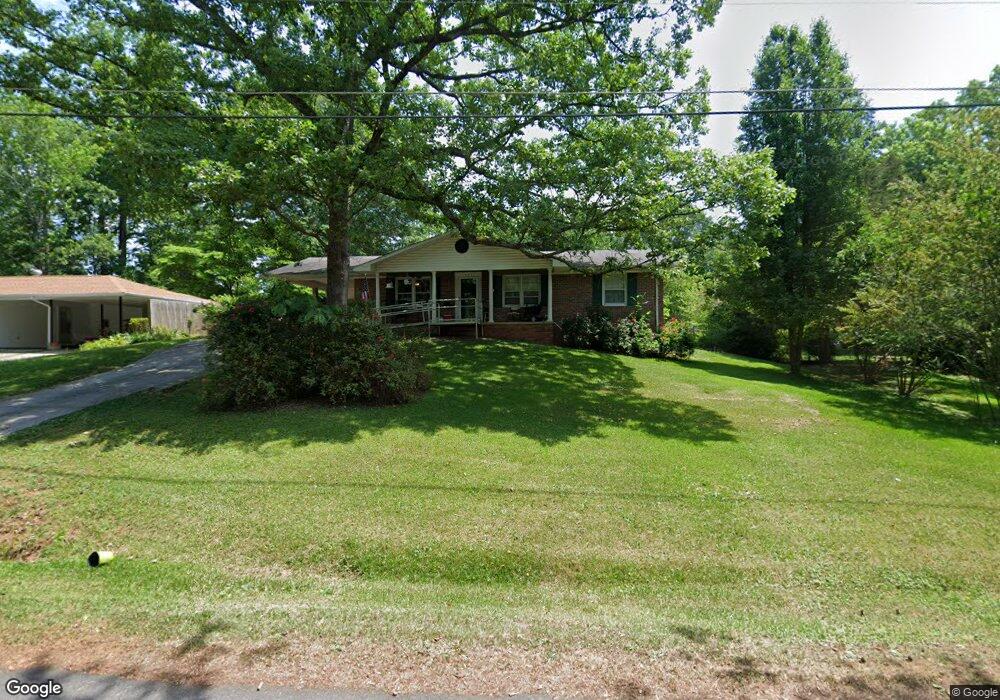
655 Hilltop Way Toccoa, GA 30577
Estimated Value: $204,000 - $229,000
3
Beds
2
Baths
1,482
Sq Ft
$144/Sq Ft
Est. Value
About This Home
This home is located at 655 Hilltop Way, Toccoa, GA 30577 and is currently estimated at $213,677, approximately $144 per square foot. 655 Hilltop Way is a home located in Stephens County with nearby schools including Stephens County High School.
Ownership History
Date
Name
Owned For
Owner Type
Purchase Details
Closed on
Feb 14, 2003
Bought by
<Buyer Info Not Present>
Current Estimated Value
Purchase Details
Closed on
Jun 14, 2001
Bought by
<Buyer Info Not Present>
Purchase Details
Closed on
Mar 1, 1996
Bought by
<Buyer Info Not Present>
Purchase Details
Closed on
Jan 1, 1990
Bought by
<Buyer Info Not Present>
Purchase Details
Closed on
Mar 1, 1984
Bought by
<Buyer Info Not Present>
Create a Home Valuation Report for This Property
The Home Valuation Report is an in-depth analysis detailing your home's value as well as a comparison with similar homes in the area
Purchase History
| Date | Buyer | Sale Price | Title Company |
|---|---|---|---|
| <Buyer Info Not Present> | $102,600 | -- | |
| <Buyer Info Not Present> | $79,500 | -- | |
| <Buyer Info Not Present> | $53,000 | -- | |
| <Buyer Info Not Present> | $52,000 | -- | |
| <Buyer Info Not Present> | $36,000 | -- |
Source: Public Records
Tax History
| Year | Tax Paid | Tax Assessment Tax Assessment Total Assessment is a certain percentage of the fair market value that is determined by local assessors to be the total taxable value of land and additions on the property. | Land | Improvement |
|---|---|---|---|---|
| 2025 | -- | $59,810 | $2,268 | $57,542 |
| 2024 | -- | $39,246 | $2,268 | $36,978 |
| 2023 | $0 | $36,413 | $2,268 | $34,145 |
| 2022 | $1,216 | $34,376 | $2,268 | $32,108 |
| 2021 | $1,166 | $31,293 | $2,268 | $29,025 |
| 2020 | $1,196 | $31,838 | $2,268 | $29,570 |
| 2019 | $1,201 | $31,838 | $2,268 | $29,570 |
| 2018 | $0 | $31,838 | $2,268 | $29,570 |
| 2017 | $0 | $31,838 | $2,268 | $29,570 |
| 2016 | $0 | $31,838 | $2,268 | $29,570 |
| 2015 | -- | $31,923 | $2,268 | $29,655 |
| 2014 | -- | $31,924 | $2,268 | $29,655 |
| 2013 | -- | $32,127 | $2,268 | $29,858 |
Source: Public Records
Map
Nearby Homes
- 158 Pebble Creek Dr
- 475 Hilltop Way
- 1055 Skyline Dr
- 820 Collier Rd
- 208 Cherry St
- 926 Skyline Dr
- 372 Hilltop Way
- 321 Quail Forest Cir
- 43 Sycamore Dr
- 74 Briarwood Dr
- 39 Meadowbrook Dr
- 207 Poplar Trail
- 704 Skyline Dr
- 103 Old Liberty Hill Rd
- 156 White Pine Rd
- 526 Poplar St
- 1010 Mize Rd
- 0 Valley Dr Unit 10701357
- 0 Stephen Dr Unit 10710969
- 0 Stephen Dr Unit 10710891
- 647 Hilltop Way
- 689 Hilltop Way
- 1226 Skyline Dr
- 1208 Skyline Dr
- 1248 Skyline Dr
- 654 Hilltop Way
- 621 Hilltop Way
- 638 Hilltop Way
- 686 Hilltop Way
- 517 Andrews Rd
- 535 Andrews Rd
- 1196 Skyline Dr
- 551 Andrews Rd
- 487 Andrews Rd
- 603 Hilltop Way
- 0 Anderson Rd Unit 7626611
- 1168 Skyline Dr
- 604 Hilltop Way
- 33 Andrews Place
- 30 Andrews Place
Your Personal Tour Guide
Ask me questions while you tour the home.