Estimated Value: $404,000 - $745,933
Studio
--
Bath
2,200
Sq Ft
$261/Sq Ft
Est. Value
About This Home
This home is located at 655 Noel Rd, Howe, TX 75459 and is currently estimated at $574,967, approximately $261 per square foot. 655 Noel Rd is a home with nearby schools including Summit Hill Elementary School, Howe Middle School, and Howe High School.
Ownership History
Date
Name
Owned For
Owner Type
Purchase Details
Closed on
Feb 6, 2025
Sold by
Harvey Brice Kirk
Bought by
Harvey Angus Farms Inc
Current Estimated Value
Purchase Details
Closed on
Jul 7, 2023
Sold by
Harvey Keri Lyn
Bought by
Harvey Brice Kirk
Purchase Details
Closed on
Apr 5, 2023
Sold by
Harvey Brice K
Bought by
Harvey Keri L
Home Financials for this Owner
Home Financials are based on the most recent Mortgage that was taken out on this home.
Original Mortgage
$188,000
Interest Rate
6.5%
Mortgage Type
New Conventional
Create a Home Valuation Report for This Property
The Home Valuation Report is an in-depth analysis detailing your home's value as well as a comparison with similar homes in the area
Home Values in the Area
Average Home Value in this Area
Purchase History
| Date | Buyer | Sale Price | Title Company |
|---|---|---|---|
| Harvey Angus Farms Inc | -- | None Listed On Document | |
| Harvey Brice Kirk | -- | None Listed On Document | |
| Harvey Brice Kirk | $188,000 | None Listed On Document | |
| Harvey Keri L | -- | Simplifile |
Source: Public Records
Mortgage History
| Date | Status | Borrower | Loan Amount |
|---|---|---|---|
| Previous Owner | Harvey Keri L | $188,000 |
Source: Public Records
Tax History
| Year | Tax Paid | Tax Assessment Tax Assessment Total Assessment is a certain percentage of the fair market value that is determined by local assessors to be the total taxable value of land and additions on the property. | Land | Improvement |
|---|---|---|---|---|
| 2025 | $5,143 | $454,110 | $130,055 | $324,055 |
| 2024 | $5,143 | $342,929 | $0 | $0 |
| 2023 | $2,569 | $254,497 | $0 | $0 |
| 2022 | $3,995 | $231,511 | $0 | $0 |
| 2021 | $4,091 | $210,592 | $10,601 | $199,991 |
| 2020 | $4,342 | $213,779 | $9,840 | $203,939 |
| 2019 | $4,690 | $215,663 | $9,075 | $206,588 |
| 2018 | $4,167 | $204,020 | $7,953 | $196,067 |
| 2017 | $4,039 | $195,487 | $8,031 | $187,456 |
| 2016 | $3,907 | $189,076 | $5,384 | $183,692 |
| 2015 | $0 | $202,282 | $5,381 | $196,901 |
| 2014 | -- | $202,707 | $3,721 | $198,986 |
Source: Public Records
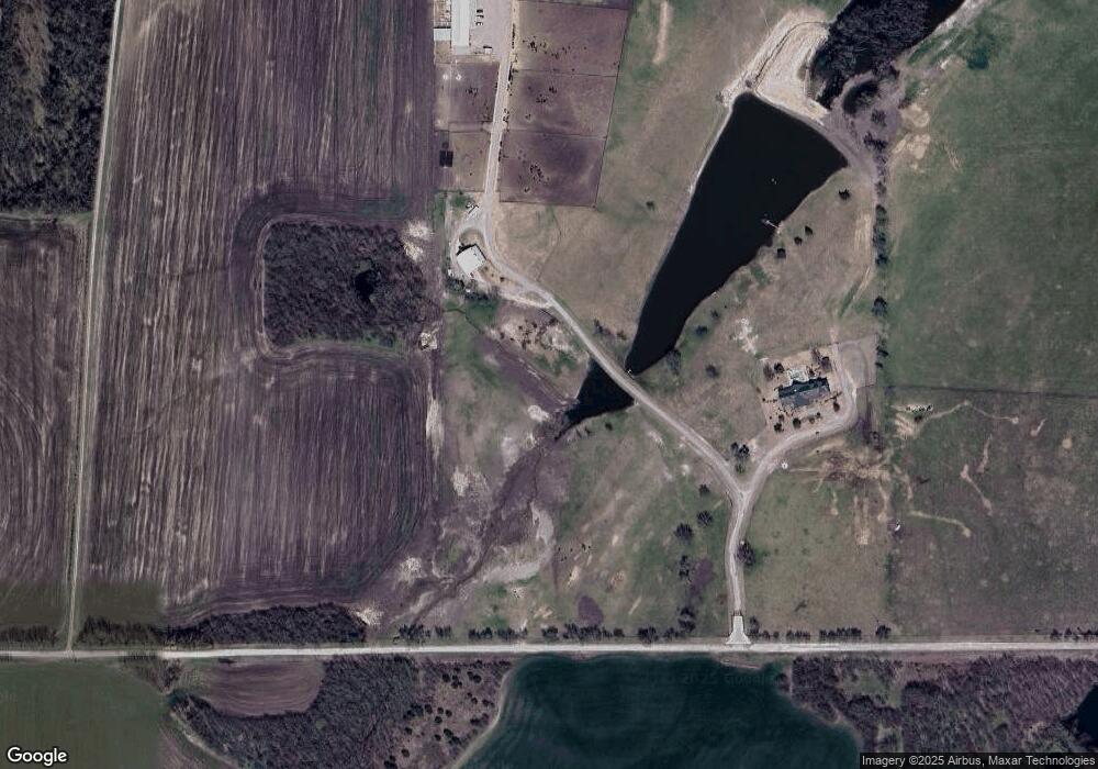
Map
Nearby Homes
- 3410 Old Dorchester Rd
- 2164 Midway Acres Dr
- TBD Taylor Rd
- 3356 Old Dorchester Rd
- Shepherd Dr
- TBD Bennett Rd
- TBD Schneider Rd
- 6164 State Highway 289
- 100 Acres Texas 289
- 1171 Rockport Rd
- 7811 Farm To Market 902
- 7709 Farm To Market 902
- TBD Shepherd Dr
- 1100 W Shepherd Dr
- 1808 Douglas St
- Aaron Plan at Noble Ridge - Majors
- Idlewood Plan at Noble Ridge - Cottage
- Gehrig Plan at Noble Ridge - Majors
- Morrow Plan at Noble Ridge - Cottage
- DiMaggio Plan at Noble Ridge - Majors
- 987 Noel Rd
- 0000 Ford
- TBD S Maple St
- TBD Wyatt Rd
- TBD Matthews Rd
- 00 Highway 902 Hwy
- G-0847 Harrell Rd
- 6 Lopez Corner
- 0 Pioneer Valley II Unit 10026187
- 5 Praire C Ph III
- 17 Praire Cross Ph111
- 8 Lopez Dr
- 999 Hwy 75
- 9999 Hwy 75
- TBD State Hwy 5
- TBD Wyatt Rd Unit 125B
- TBD Wyatt Rd Unit 125A
- 0000 Fm 902
- 0 Tbd Akers Unit 13775644
- 98 Ac Fm 902