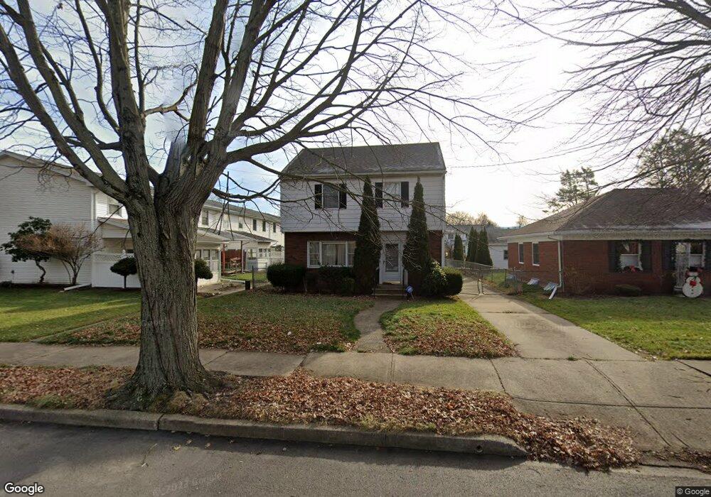
655 Rutter Ave Kingston, PA 18704
Estimated Value: $213,576 - $307,000
Studio
--
Bath
1,560
Sq Ft
$173/Sq Ft
Est. Value
About This Home
This home is located at 655 Rutter Ave, Kingston, PA 18704 and is currently estimated at $269,394, approximately $172 per square foot. 655 Rutter Ave is a home located in Luzerne County with nearby schools including Wyoming Valley West Senior High School, Good Shepherd Academy, and Wyoming Valley Kingston Montessori School.
Ownership History
Date
Name
Owned For
Owner Type
Purchase Details
Closed on
May 18, 2023
Sold by
Tsioles Nicholas
Bought by
Tsioles Theodore
Current Estimated Value
Purchase Details
Closed on
Aug 4, 1989
Bought by
Tsioles George and Tsioles Fotini
Create a Home Valuation Report for This Property
The Home Valuation Report is an in-depth analysis detailing your home's value as well as a comparison with similar homes in the area
Home Values in the Area
Average Home Value in this Area
Purchase History
| Date | Buyer | Sale Price | Title Company |
|---|---|---|---|
| Tsioles Theodore | -- | None Listed On Document | |
| Tsioles Nicholas | -- | None Listed On Document | |
| Tsioles George | $94,000 | -- |
Source: Public Records
Tax History
| Year | Tax Paid | Tax Assessment Tax Assessment Total Assessment is a certain percentage of the fair market value that is determined by local assessors to be the total taxable value of land and additions on the property. | Land | Improvement |
|---|---|---|---|---|
| 2026 | $3,580 | $135,200 | $28,600 | $106,600 |
| 2025 | $3,567 | $135,200 | $28,600 | $106,600 |
| 2024 | $3,567 | $135,200 | $28,600 | $106,600 |
| 2023 | $3,506 | $135,200 | $28,600 | $106,600 |
| 2022 | $3,481 | $135,200 | $28,600 | $106,600 |
| 2021 | $3,381 | $135,200 | $28,600 | $106,600 |
| 2020 | $3,381 | $135,200 | $28,600 | $106,600 |
| 2019 | $3,282 | $135,200 | $28,600 | $106,600 |
| 2018 | $3,179 | $135,200 | $28,600 | $106,600 |
| 2017 | $3,089 | $135,200 | $28,600 | $106,600 |
| 2016 | -- | $135,200 | $28,600 | $106,600 |
| 2015 | -- | $135,200 | $28,600 | $106,600 |
| 2014 | -- | $135,200 | $28,600 | $106,600 |
Source: Public Records
Map
Nearby Homes
- 653 Rutter Ave
- 139 Lathrop Ct
- 143 Lathrop St
- 139 Lathrop St
- 141 Lathrop St
- 145 Lathrop St
- 137 Lathrop St
- 147 Lathrop Ct
- 147 Lathrop St
- 651 Rutter Ave
- 149 Lathrop Ct
- 149 Lathrop St
- 151 Lathrop Ct
- 151 Lathrop St
- 133 Lathrop St
- 153 Lathrop St
- 649 Rutter Ave
- 155 Lathrop St
- 658 Westmoreland Ave
- 664 Westmoreland Ave
Your Personal Tour Guide
Ask me questions while you tour the home.