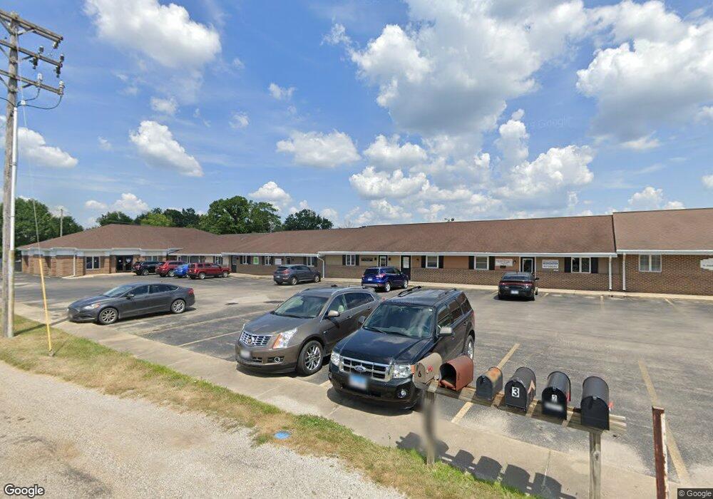
655 W Lincoln Ave Unit 11 Charleston, IL 61920
--
Bed
--
Bath
1,000
Sq Ft
2,614
Sq Ft Lot
About This Home
This home is located at 655 W Lincoln Ave Unit 11, Charleston, IL 61920. 655 W Lincoln Ave Unit 11 is a home located in Coles County with nearby schools including Charleston High School, Charleston Christian Academy, and Charleston Christian Academy High School.
Ownership History
Date
Name
Owned For
Owner Type
Purchase Details
Closed on
Aug 30, 2022
Sold by
Albert C Anderson Declaration Of Trust
Bought by
Joyful Life Llc Office
Home Financials for this Owner
Home Financials are based on the most recent Mortgage that was taken out on this home.
Original Mortgage
$100,000
Outstanding Balance
$85,993
Interest Rate
5.5%
Mortgage Type
New Conventional
Purchase Details
Closed on
Mar 21, 2012
Sold by
Anderson Albert C
Bought by
Declaration Anderson Albert C and Declaration Albert C Anderson
Create a Home Valuation Report for This Property
The Home Valuation Report is an in-depth analysis detailing your home's value as well as a comparison with similar homes in the area
Home Values in the Area
Average Home Value in this Area
Purchase History
| Date | Buyer | Sale Price | Title Company |
|---|---|---|---|
| Joyful Life Llc Office | $6,000 | None Listed On Document | |
| Declaration Anderson Albert C | -- | None Available |
Source: Public Records
Mortgage History
| Date | Status | Borrower | Loan Amount |
|---|---|---|---|
| Open | Joyful Life Llc Office | $100,000 |
Source: Public Records
Tax History Compared to Growth
Tax History
| Year | Tax Paid | Tax Assessment Tax Assessment Total Assessment is a certain percentage of the fair market value that is determined by local assessors to be the total taxable value of land and additions on the property. | Land | Improvement |
|---|---|---|---|---|
| 2024 | $1,622 | $20,897 | $5,313 | $15,584 |
| 2023 | $1,597 | $19,084 | $4,852 | $14,232 |
| 2022 | $1,600 | $18,769 | $4,772 | $13,997 |
| 2021 | $1,648 | $18,013 | $4,580 | $13,433 |
| 2020 | $1,050 | $11,687 | $4,745 | $6,942 |
| 2019 | $1,033 | $11,280 | $4,580 | $6,700 |
| 2018 | $1,022 | $11,280 | $4,580 | $6,700 |
| 2017 | $1,009 | $11,280 | $4,580 | $6,700 |
| 2016 | $1,728 | $19,490 | $5,490 | $14,000 |
| 2015 | $1,784 | $19,490 | $5,490 | $14,000 |
| 2014 | $1,784 | $19,490 | $5,490 | $14,000 |
| 2013 | $1,784 | $19,490 | $5,490 | $14,000 |
Source: Public Records
Map
Nearby Homes
- 711 Kenton Dr
- 1706 Reynolds Dr
- 929 Reynolds Dr
- 921 Reynolds Dr
- 942 E St
- 911 W Hayes Ave
- 926 Westgate Dr
- 0 Timberlake Lot 17 Estates
- 9 Orchard Dr
- 1528 Division St
- 926 Division St
- 124 Polk Ave
- 1035 Woodberry Ln
- 934 2nd St
- 943 2nd St
- W Hayes Ave Lot Unit WP001
- 1071 Woodberry Ln
- 344 B St
- 1103 & 1105 6th St
- 1011 6th St
- 655 W Lincoln Ave Unit 12
- 655 W Lincoln Ave Unit Suite 10
- 655 W Lincoln Ave Unit 8
- 655 W Lincoln Ave Unit SUITE 6
- 655 W Lincoln Ave
- 1322 Montgomery Dr
- 1309 Montgomery Dr
- 702 W Lincoln Ave
- 705 W Lincoln Ave
- 1400 Reynolds Dr
- 1310 Montgomery Dr
- 1305 Montgomery Dr
- 1400 Reynolds Dr
- 1320 Reynolds Dr
- 1301 Montgomery Dr
- 1302 Montgomery Dr
- 1312 Reynolds Dr
- 1607 Reynolds Dr
- 1607 Marion St
- 1613 Marion St