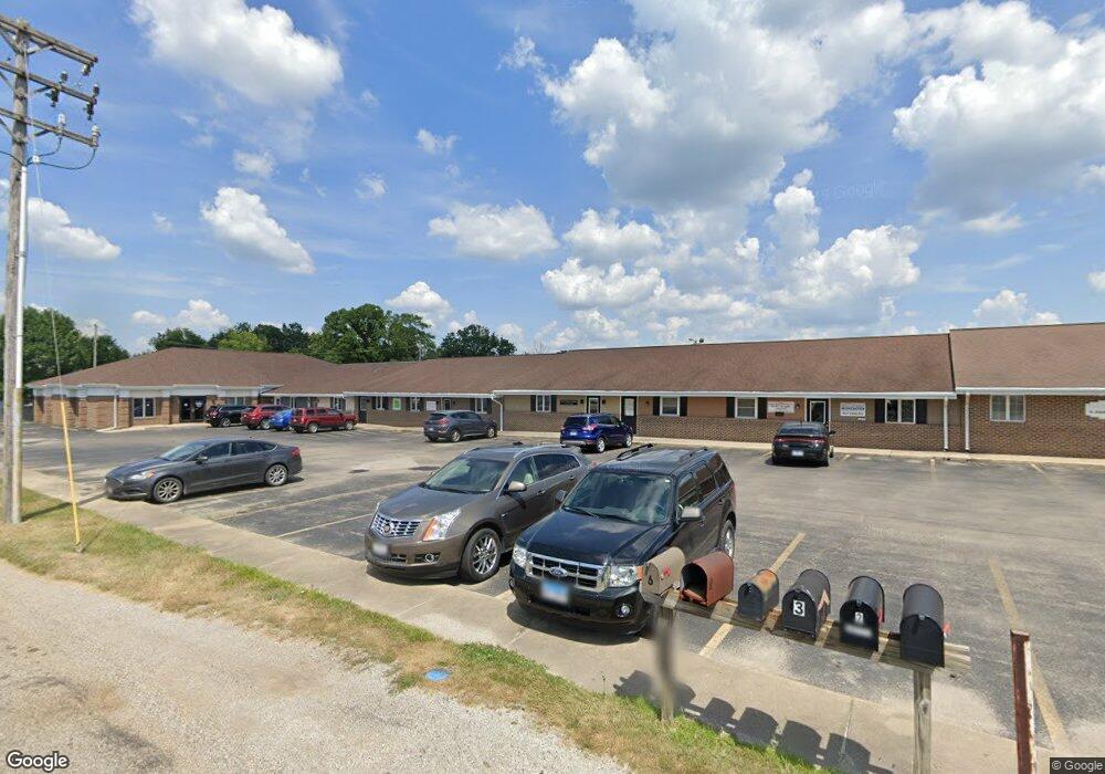
655 W Lincoln Ave Unit Suite 10 Charleston, IL 61920
Estimated Value: $98,946
--
Bed
--
Bath
1,000
Sq Ft
$99/Sq Ft
Est. Value
About This Home
This home is located at 655 W Lincoln Ave Unit Suite 10, Charleston, IL 61920 and is currently estimated at $98,946, approximately $98 per square foot. 655 W Lincoln Ave Unit Suite 10 is a home located in Coles County with nearby schools including Charleston High School, Charleston Christian Academy, and Charleston Christian Academy High School.
Ownership History
Date
Name
Owned For
Owner Type
Purchase Details
Closed on
Feb 21, 2014
Sold by
Dycus George A
Bought by
Curamus Lllp
Current Estimated Value
Purchase Details
Closed on
Aug 25, 2010
Sold by
Anderson Albert C
Bought by
Dycus George A
Purchase Details
Closed on
Aug 16, 2006
Sold by
Dycus George A and Willison Jerry W
Bought by
Dycus George A
Create a Home Valuation Report for This Property
The Home Valuation Report is an in-depth analysis detailing your home's value as well as a comparison with similar homes in the area
Home Values in the Area
Average Home Value in this Area
Purchase History
| Date | Buyer | Sale Price | Title Company |
|---|---|---|---|
| Curamus Lllp | $50,000 | -- | |
| Dycus George A | $53,000 | None Available | |
| Dycus George A | -- | None Available |
Source: Public Records
Tax History Compared to Growth
Tax History
| Year | Tax Paid | Tax Assessment Tax Assessment Total Assessment is a certain percentage of the fair market value that is determined by local assessors to be the total taxable value of land and additions on the property. | Land | Improvement |
|---|---|---|---|---|
| 2024 | $1,619 | $20,862 | $5,394 | $15,468 |
| 2023 | $1,594 | $19,052 | $4,926 | $14,126 |
| 2022 | $1,598 | $18,738 | $4,845 | $13,893 |
| 2021 | $1,646 | $17,983 | $4,650 | $13,333 |
| 2020 | $1,448 | $16,111 | $4,818 | $11,293 |
| 2019 | $1,425 | $15,550 | $4,650 | $10,900 |
| 2018 | $1,409 | $15,550 | $4,650 | $10,900 |
| 2017 | $1,391 | $15,550 | $4,650 | $10,900 |
| 2016 | $1,567 | $17,670 | $5,570 | $12,100 |
| 2015 | $1,618 | $17,670 | $5,570 | $12,100 |
| 2014 | $1,618 | $17,670 | $5,570 | $12,100 |
| 2013 | $1,618 | $17,670 | $5,570 | $12,100 |
Source: Public Records
Map
Nearby Homes
- 711 Kenton Dr
- 1706 Reynolds Dr
- 929 Reynolds Dr
- 921 Reynolds Dr
- 942 E St
- 911 W Hayes Ave
- 926 Westgate Dr
- 0 Timberlake Lot 17 Estates
- 9 Orchard Dr
- 1528 Division St
- 926 Division St
- 124 Polk Ave
- 1035 Woodberry Ln
- 934 2nd St
- 943 2nd St
- W Hayes Ave Lot Unit WP001
- 1071 Woodberry Ln
- 344 B St
- 1103 & 1105 6th St
- 1011 6th St
- 655 W Lincoln Ave Unit 11
- 655 W Lincoln Ave Unit 12
- 655 W Lincoln Ave Unit 8
- 655 W Lincoln Ave Unit SUITE 6
- 655 W Lincoln Ave
- 1322 Montgomery Dr
- 1309 Montgomery Dr
- 702 W Lincoln Ave
- 705 W Lincoln Ave
- 1400 Reynolds Dr
- 1310 Montgomery Dr
- 1305 Montgomery Dr
- 1400 Reynolds Dr
- 1320 Reynolds Dr
- 1301 Montgomery Dr
- 1302 Montgomery Dr
- 1312 Reynolds Dr
- 1607 Reynolds Dr
- 1607 Marion St
- 1613 Marion St