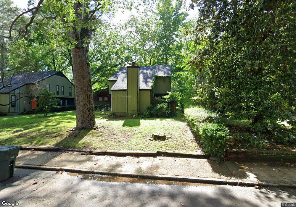
655 Watson St Unit 657 Memphis, TN 38111
East Memphis NeighborhoodEstimated Value: $207,528 - $264,000
2
Beds
2
Baths
2,196
Sq Ft
$108/Sq Ft
Est. Value
About This Home
This home is located at 655 Watson St Unit 657, Memphis, TN 38111 and is currently estimated at $237,882, approximately $108 per square foot. 655 Watson St Unit 657 is a home located in Shelby County with nearby schools including Sherwood Elementary School, Sherwood Middle, and Melrose High School.
Ownership History
Date
Name
Owned For
Owner Type
Purchase Details
Closed on
Nov 6, 2007
Sold by
Prescott Allie J and Prescott Allie J
Bought by
Drose Andreas
Current Estimated Value
Home Financials for this Owner
Home Financials are based on the most recent Mortgage that was taken out on this home.
Original Mortgage
$120,600
Outstanding Balance
$76,068
Interest Rate
6.32%
Mortgage Type
Unknown
Estimated Equity
$161,814
Purchase Details
Closed on
Nov 10, 2003
Sold by
Erb Halperin Co
Bought by
Prescott Allie J and Prescott Allie J
Home Financials for this Owner
Home Financials are based on the most recent Mortgage that was taken out on this home.
Original Mortgage
$169,227
Interest Rate
5.93%
Mortgage Type
Unknown
Create a Home Valuation Report for This Property
The Home Valuation Report is an in-depth analysis detailing your home's value as well as a comparison with similar homes in the area
Home Values in the Area
Average Home Value in this Area
Purchase History
| Date | Buyer | Sale Price | Title Company |
|---|---|---|---|
| Drose Andreas | $134,000 | Service First Title & Escrow | |
| Prescott Allie J | $205,000 | -- |
Source: Public Records
Mortgage History
| Date | Status | Borrower | Loan Amount |
|---|---|---|---|
| Open | Drose Andreas | $120,600 | |
| Previous Owner | Prescott Allie J | $169,227 |
Source: Public Records
Tax History
| Year | Tax Paid | Tax Assessment Tax Assessment Total Assessment is a certain percentage of the fair market value that is determined by local assessors to be the total taxable value of land and additions on the property. | Land | Improvement |
|---|---|---|---|---|
| 2025 | $1,498 | $89,400 | $9,880 | $79,520 |
| 2024 | $1,498 | $44,200 | $7,920 | $36,280 |
| 2023 | $2,693 | $44,200 | $7,920 | $36,280 |
| 2022 | $2,693 | $44,200 | $7,920 | $36,280 |
| 2021 | $2,724 | $44,200 | $7,920 | $36,280 |
| 2020 | $2,298 | $31,720 | $7,920 | $23,800 |
| 2019 | $2,298 | $31,720 | $7,920 | $23,800 |
| 2018 | $2,298 | $31,720 | $7,920 | $23,800 |
| 2017 | $1,304 | $31,720 | $7,920 | $23,800 |
| 2016 | $1,418 | $32,440 | $0 | $0 |
| 2014 | $1,418 | $32,440 | $0 | $0 |
Source: Public Records
Map
Nearby Homes
- 708 Loeb St
- 740 Loeb St
- 616 Shotwell St
- 699 Shotwell St
- 582 Watson St
- 796 S Graham St
- 572 Watson St
- 743 Shotwell St
- 3880 Spottswood Ave
- 766 Buck St
- 842 S Graham St
- 4042 Goodlett Cove
- 4114 Village Rd
- 527 S Goodlett St
- 812 Normal Cir
- 505 Eastbourne Place
- 450 S Goodlett St
- 505 Thorn Ridge Cove
- 3750 Kearney Ave
- 3739 Spottswood Ave
- 655 Watson St
- 657 Watson St
- 663 Watson St
- 647 Watson St
- 661 Watson St Unit 663
- 661 Watson St
- 657 Waston St
- 4028 Spottswood Ave
- 641 Watson St
- 637 Watson St
- 652 Watson St
- 658 Watson St
- 648 Watson St
- 652 S Graham St
- 675 Watson St
- 646 S Graham St
- 660 S Graham St
- 662 Watson St
- 642 Watson St
- 627 Watson St
Your Personal Tour Guide
Ask me questions while you tour the home.