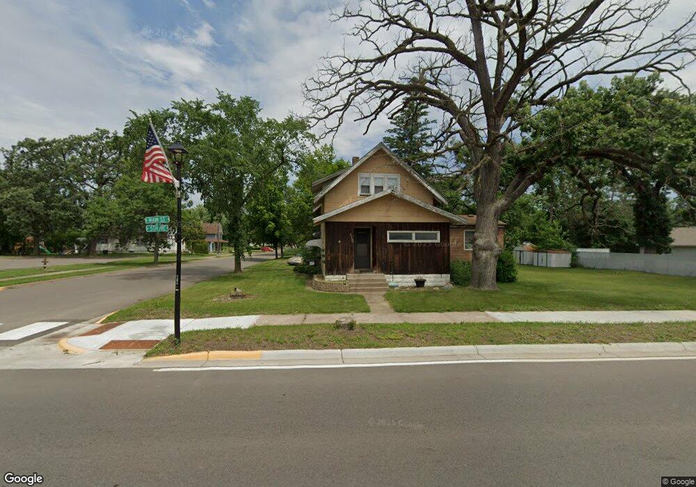
6550 Main St North Branch, MN 55056
Estimated Value: $214,000 - $264,000
2
Beds
1
Bath
1,020
Sq Ft
$230/Sq Ft
Est. Value
About This Home
This home is located at 6550 Main St, North Branch, MN 55056 and is currently estimated at $234,280, approximately $229 per square foot. 6550 Main St is a home located in Chisago County with nearby schools including North Branch Middle School, Sunrise River Elementary School, and North Branch Senior High School.
Ownership History
Date
Name
Owned For
Owner Type
Purchase Details
Closed on
Feb 25, 2025
Sold by
Oehlers Edward C and Oehlers Tamara G
Bought by
Main And Maple Llc
Current Estimated Value
Home Financials for this Owner
Home Financials are based on the most recent Mortgage that was taken out on this home.
Original Mortgage
$100,000
Outstanding Balance
$99,497
Interest Rate
6.96%
Mortgage Type
New Conventional
Estimated Equity
$134,783
Purchase Details
Closed on
Jan 31, 2023
Sold by
Oehlers Edward and Oehlers Tamara
Bought by
Main And Maple Llc
Create a Home Valuation Report for This Property
The Home Valuation Report is an in-depth analysis detailing your home's value as well as a comparison with similar homes in the area
Home Values in the Area
Average Home Value in this Area
Purchase History
| Date | Buyer | Sale Price | Title Company |
|---|---|---|---|
| Main And Maple Llc | $90,000 | Results Title | |
| Main And Maple Llc | $90,000 | -- |
Source: Public Records
Mortgage History
| Date | Status | Borrower | Loan Amount |
|---|---|---|---|
| Open | Main And Maple Llc | $100,000 |
Source: Public Records
Tax History Compared to Growth
Tax History
| Year | Tax Paid | Tax Assessment Tax Assessment Total Assessment is a certain percentage of the fair market value that is determined by local assessors to be the total taxable value of land and additions on the property. | Land | Improvement |
|---|---|---|---|---|
| 2024 | $1,956 | $149,600 | $0 | $0 |
| 2023 | $1,956 | $162,500 | $63,000 | $99,500 |
| 2022 | $1,714 | $149,600 | $55,000 | $94,600 |
| 2021 | $1,724 | $112,800 | $0 | $0 |
| 2020 | $1,694 | $109,300 | $40,000 | $69,300 |
| 2019 | $1,668 | $0 | $0 | $0 |
| 2018 | $1,584 | $0 | $0 | $0 |
| 2017 | $1,592 | $0 | $0 | $0 |
| 2016 | $1,554 | $0 | $0 | $0 |
| 2015 | $1,498 | $0 | $0 | $0 |
| 2014 | -- | $73,200 | $0 | $0 |
Source: Public Records
Map
Nearby Homes
- 38946 7th Ave
- XXXXX Maple St
- 36XXX Forest Blvd
- 38958 Elm Ct
- 38558 Grand Ave
- 39183 Grand Ave
- XXX Ash St
- 38470 Glacier Dr
- 6231 Red Fox Run
- 38692 Hawthorne Ave
- 38725 12th Ave Unit 83
- 38xxx Oakview Ave
- 38578 Hawthorne Ave
- 38632 Oakview Ave
- 38280 Great Oaks Ct
- 7255 Hawthorne Ct
- TBD Saint Croix Trail
- 7222 Hawthorne Ct
- 7246 385th St
- 39590 Hemingway Ave