6554 Macy Rd Butler, OH 44822
Estimated Value: $334,000 - $488,168
3
Beds
2
Baths
1,336
Sq Ft
$302/Sq Ft
Est. Value
About This Home
This home is located at 6554 Macy Rd, Butler, OH 44822 and is currently estimated at $403,792, approximately $302 per square foot. 6554 Macy Rd is a home located in Richland County with nearby schools including Clear Fork High School.
Ownership History
Date
Name
Owned For
Owner Type
Purchase Details
Closed on
May 30, 2006
Sold by
Hammett Holly M L
Bought by
Dunn Michael D
Current Estimated Value
Home Financials for this Owner
Home Financials are based on the most recent Mortgage that was taken out on this home.
Original Mortgage
$154,800
Outstanding Balance
$91,264
Interest Rate
6.62%
Mortgage Type
Purchase Money Mortgage
Estimated Equity
$312,528
Purchase Details
Closed on
May 1, 1986
Create a Home Valuation Report for This Property
The Home Valuation Report is an in-depth analysis detailing your home's value as well as a comparison with similar homes in the area
Purchase History
| Date | Buyer | Sale Price | Title Company |
|---|---|---|---|
| Dunn Michael D | $172,000 | Barrister Title | |
| -- | $83,500 | -- |
Source: Public Records
Mortgage History
| Date | Status | Borrower | Loan Amount |
|---|---|---|---|
| Open | Dunn Michael D | $154,800 |
Source: Public Records
Tax History
| Year | Tax Paid | Tax Assessment Tax Assessment Total Assessment is a certain percentage of the fair market value that is determined by local assessors to be the total taxable value of land and additions on the property. | Land | Improvement |
|---|---|---|---|---|
| 2024 | $2,556 | $114,330 | $63,950 | $50,380 |
| 2023 | $2,616 | $114,330 | $63,950 | $50,380 |
| 2022 | $1,716 | $74,030 | $42,000 | $32,030 |
| 2021 | $1,860 | $74,030 | $42,000 | $32,030 |
| 2020 | $1,859 | $74,030 | $42,000 | $32,030 |
| 2019 | $2,020 | $67,030 | $35,000 | $32,030 |
| 2018 | $2,001 | $67,030 | $35,000 | $32,030 |
| 2017 | $2,161 | $67,030 | $35,000 | $32,030 |
| 2016 | $2,354 | $63,160 | $29,240 | $33,920 |
| 2015 | $2,354 | $63,160 | $29,240 | $33,920 |
| 2014 | $2,347 | $63,160 | $29,240 | $33,920 |
| 2012 | $933 | $58,290 | $24,370 | $33,920 |
Source: Public Records
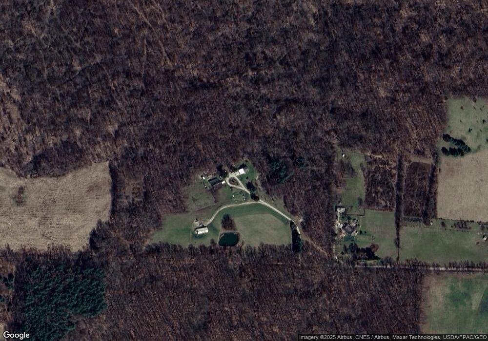
Map
Nearby Homes
- 168 W Elm St
- 2862 Snyder Rd
- 4977 Teeter Rd
- 0 Gatton Rock Rd
- 0 Riggle Rd
- 0 Mishey Rd
- 114 County Road 1027
- 3386 Trumpower Rd
- St Rt 603
- 18240 Nunda Rd
- 0 Divelbiss Rd
- 6533 Durbin Rd
- 2732 Township Road 1087
- 4656 Rule Rd
- 123 Weltmer Cir
- 174 W 2nd St
- 0 State Route 97 E
- 21839 County Road 81
- 32 Betty Dr
- 74 E Durbin Ave
- 6550 Macy Rd
- 6534 Macy Rd
- 2239 Brokaw Rd
- 6544 Macy Rd
- 2534 State Route 97
- 6520 Macy Rd
- 0 Macy Rd
- 2515 State Route 97
- 6705 Macy Rd
- 6360 Macy Rd
- 2318 State Route 97
- 0 Wilson Rd & St Rt 97
- 0 Wilson & Sr 97
- 0 Wilson Rd Lot#1
- 2930 State Route 97
- 2317 State Route 97
- 3822 Hildebrant Rd
- 2933 State Route 97
- 2933 Ohio 97
- 6715 Macy Rd
Your Personal Tour Guide
Ask me questions while you tour the home.