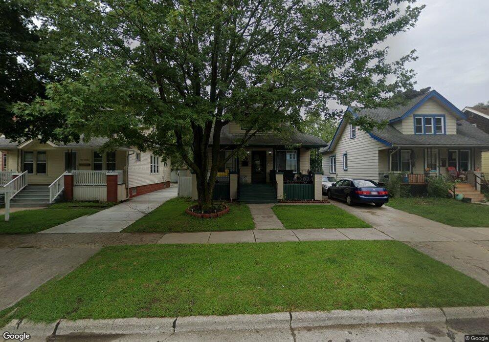
6554 Westpoint St Taylor, MI 48180
Estimated Value: $132,724 - $193,000
--
Bed
--
Bath
1,080
Sq Ft
$149/Sq Ft
Est. Value
About This Home
This home is located at 6554 Westpoint St, Taylor, MI 48180 and is currently estimated at $161,181, approximately $149 per square foot. 6554 Westpoint St is a home located in Wayne County with nearby schools including Clarence Randall Elementary School, Hoover Middle School, and Quest Charter Academy.
Ownership History
Date
Name
Owned For
Owner Type
Purchase Details
Closed on
Feb 26, 2020
Sold by
Allen Fablan
Bought by
Gray Tameka
Current Estimated Value
Home Financials for this Owner
Home Financials are based on the most recent Mortgage that was taken out on this home.
Original Mortgage
$130,591
Outstanding Balance
$115,657
Interest Rate
3.5%
Mortgage Type
FHA
Estimated Equity
$45,524
Purchase Details
Closed on
Nov 6, 2000
Sold by
Rodriguez Eleanor
Bought by
Rodriguez Eleanor
Create a Home Valuation Report for This Property
The Home Valuation Report is an in-depth analysis detailing your home's value as well as a comparison with similar homes in the area
Home Values in the Area
Average Home Value in this Area
Purchase History
| Date | Buyer | Sale Price | Title Company |
|---|---|---|---|
| Gray Tameka | $133,000 | Chirco Title Agency Inc | |
| Rodriguez Eleanor | -- | -- |
Source: Public Records
Mortgage History
| Date | Status | Borrower | Loan Amount |
|---|---|---|---|
| Open | Gray Tameka | $130,591 |
Source: Public Records
Tax History Compared to Growth
Tax History
| Year | Tax Paid | Tax Assessment Tax Assessment Total Assessment is a certain percentage of the fair market value that is determined by local assessors to be the total taxable value of land and additions on the property. | Land | Improvement |
|---|---|---|---|---|
| 2025 | $2,312 | $64,100 | $0 | $0 |
| 2024 | $2,312 | $57,600 | $0 | $0 |
| 2023 | $3,703 | $54,800 | $0 | $0 |
| 2022 | $2,207 | $52,500 | $0 | $0 |
| 2021 | $3,400 | $46,800 | $0 | $0 |
| 2020 | $1,446 | $37,500 | $0 | $0 |
| 2019 | $202,001 | $34,200 | $0 | $0 |
| 2018 | $1,620 | $32,600 | $0 | $0 |
| 2017 | $840 | $29,200 | $0 | $0 |
| 2016 | $1,879 | $28,300 | $0 | $0 |
| 2015 | $2,570 | $25,700 | $0 | $0 |
| 2013 | $2,570 | $26,900 | $0 | $0 |
| 2012 | $1,690 | $26,400 | $4,500 | $21,900 |
Source: Public Records
Map
Nearby Homes
- 6546 Westpoint St
- 6562 Westpoint St
- 6538 Westpoint St
- 6568 Westpoint St
- 6530 Westpoint St
- 6522 Westpoint St
- 6537 W Point St
- 6553 Westpoint St
- 6545 Westpoint St
- 6561 Westpoint St
- 6537 Westpoint St
- 6537 Westpoint St Unit 2
- 6567 Westpoint St
- 6512 Westpoint St
- 6608 Westpoint St
- 6608 Westpoint St Unit 2
- 6608 Westpoint St Unit 1
- 6521 Westpoint St
- 6616 Westpoint St
- 6506 Westpoint St