Estimated Value: $864,089 - $980,000
3
Beds
2
Baths
2,010
Sq Ft
$467/Sq Ft
Est. Value
About This Home
This home is located at 65545 76th St, Bend, OR 97701 and is currently estimated at $938,022, approximately $466 per square foot. 65545 76th St is a home located in Deschutes County with nearby schools including Tumalo Community School, Obsidian Middle School, and Ridgeview High School.
Ownership History
Date
Name
Owned For
Owner Type
Purchase Details
Closed on
Mar 24, 2011
Sold by
Fannie Mae
Bought by
Dice Rick and Dice Carrie
Current Estimated Value
Purchase Details
Closed on
Sep 23, 2010
Sold by
Bowman Deborah A and Bowman Michael D
Bought by
Federal National Mortgage Association
Purchase Details
Closed on
Mar 17, 2005
Sold by
Grant Bowman Deborah A and Bowman Michael D
Bought by
Bowman Deborah A and Bowman Michael D
Home Financials for this Owner
Home Financials are based on the most recent Mortgage that was taken out on this home.
Original Mortgage
$280,000
Interest Rate
5.5%
Mortgage Type
New Conventional
Create a Home Valuation Report for This Property
The Home Valuation Report is an in-depth analysis detailing your home's value as well as a comparison with similar homes in the area
Purchase History
| Date | Buyer | Sale Price | Title Company |
|---|---|---|---|
| Dice Rick | $218,000 | Amerititle | |
| Federal National Mortgage Association | $303,514 | Amerititle | |
| Bowman Deborah A | -- | Deschutes County Title Co |
Source: Public Records
Mortgage History
| Date | Status | Borrower | Loan Amount |
|---|---|---|---|
| Previous Owner | Bowman Deborah A | $280,000 |
Source: Public Records
Tax History
| Year | Tax Paid | Tax Assessment Tax Assessment Total Assessment is a certain percentage of the fair market value that is determined by local assessors to be the total taxable value of land and additions on the property. | Land | Improvement |
|---|---|---|---|---|
| 2025 | $5,227 | $333,210 | -- | -- |
| 2024 | $4,998 | $323,510 | -- | -- |
| 2023 | $4,724 | $314,090 | $0 | $0 |
| 2022 | $4,347 | $296,070 | $0 | $0 |
| 2021 | $4,346 | $287,450 | $0 | $0 |
| 2020 | $4,131 | $287,450 | $0 | $0 |
| 2019 | $4,010 | $279,080 | $0 | $0 |
| 2018 | $3,914 | $270,960 | $0 | $0 |
| 2017 | $3,828 | $263,070 | $0 | $0 |
| 2016 | $3,785 | $255,410 | $0 | $0 |
| 2015 | $3,667 | $247,980 | $0 | $0 |
| 2014 | $3,572 | $240,760 | $0 | $0 |
Source: Public Records
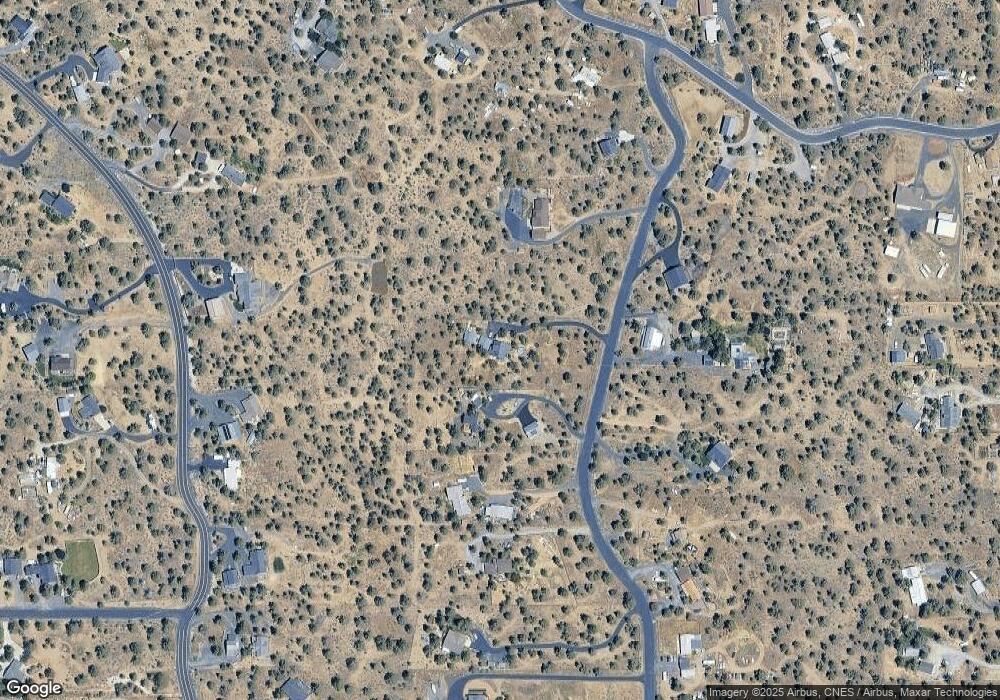
Map
Nearby Homes
- 65432 78th St
- 21150 SW Gift Rd
- 65415 78th St
- 21140 Arid Ave
- 65665 SW 61st St
- 65140 78th St
- 21115 Young Ave
- 65050 92nd St
- 20440 Swalley Rd
- 20420 Swalley Rd
- 65055 Old Bend Redmond Hwy
- 20334 Arrowhead Dr
- 0 Tumalo Rd
- 65821 Cori Way
- 64742 Sylvan Loop
- 7123 SW 51st St
- 65255 Swalley Rd
- 66255 White Rock Loop
- 64651 Jan Dr
- 64401 Deschutes Market Rd
Your Personal Tour Guide
Ask me questions while you tour the home.