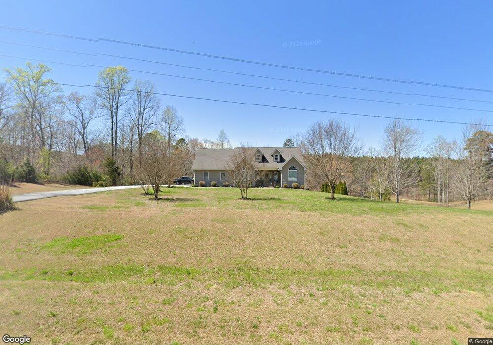
6555 N Highway 11 Walhalla, SC 29691
Estimated Value: $334,000 - $481,212
3
Beds
2
Baths
3,330
Sq Ft
$127/Sq Ft
Est. Value
About This Home
This home is located at 6555 N Highway 11, Walhalla, SC 29691 and is currently estimated at $423,737, approximately $127 per square foot. 6555 N Highway 11 is a home with nearby schools including Walhalla Elementary School, Walhalla Middle School, and Walhalla High School.
Ownership History
Date
Name
Owned For
Owner Type
Purchase Details
Closed on
Feb 9, 2015
Sold by
Jones Jennifer R
Bought by
Jones Bradley R
Current Estimated Value
Purchase Details
Closed on
Jan 18, 2008
Sold by
Jones Bradley R
Bought by
Jones Jennifer R
Create a Home Valuation Report for This Property
The Home Valuation Report is an in-depth analysis detailing your home's value as well as a comparison with similar homes in the area
Home Values in the Area
Average Home Value in this Area
Purchase History
| Date | Buyer | Sale Price | Title Company |
|---|---|---|---|
| Jones Bradley R | -- | -- | |
| Jones Jennifer R | -- | Attorney |
Source: Public Records
Tax History Compared to Growth
Tax History
| Year | Tax Paid | Tax Assessment Tax Assessment Total Assessment is a certain percentage of the fair market value that is determined by local assessors to be the total taxable value of land and additions on the property. | Land | Improvement |
|---|---|---|---|---|
| 2025 | $1,172 | $11,170 | $1,286 | $9,884 |
| 2024 | $1,172 | $11,170 | $1,286 | $9,884 |
| 2023 | $1,187 | $11,170 | $1,286 | $9,884 |
| 2022 | $1,187 | $11,170 | $1,286 | $9,884 |
| 2021 | $1,139 | $10,398 | $1,056 | $9,342 |
| 2020 | $1,158 | $10,398 | $1,056 | $9,342 |
| 2019 | $1,158 | $0 | $0 | $0 |
| 2018 | $2,308 | $0 | $0 | $0 |
| 2017 | $1,139 | $0 | $0 | $0 |
| 2016 | $1,139 | $0 | $0 | $0 |
| 2015 | -- | $0 | $0 | $0 |
| 2014 | -- | $10,856 | $1,514 | $9,342 |
| 2013 | -- | $0 | $0 | $0 |
Source: Public Records
Map
Nearby Homes
- 5467 - 5471 N Highway 11
- Hudson Plan at Windsor Estates
- Bramante Ranch Plan at Windsor Estates
- Savannah Plan at Windsor Estates
- Columbia Plan at Windsor Estates
- Cumberland Plan at Windsor Estates
- Cumberland with Basement Plan at Windsor Estates
- 525 Sixteenth Cir
- 533 Sixteenth Cir
- 310 Falcons Nest Rd
- 1907 Queen Dr
- 1817 Hastehill Dr
- 857 Pickett Post Rd
- 00 Oconee Station Rd
- 12 Walnut Dr
- 698 Pickett Post Rd
- 595 Morris Ln
- 130 Quail Haven Dr
- 135 Crowes Dr
- 910 White Cut Rd
- 580 Lay Mill Rd
- 568 Lay Mill Rd
- 7180 N Highway 11
- 8.97 ACRES Gallo Way
- 6175 N Highway 11
- 480 Lay Mill Rd
- 6176 N Highway 11
- 298 Ciacres Dr
- 110 Fretwell Rd
- 120 Fretwell Rd
- 6032 N Highway 11
- 133 Coyote Ridge
- 203 Webb Ln
- 203 Webb Ln Unit Hwy 11 N.
- 7192 S Carolina 11
- 7192 N Highway 11
- 130 Fretwell Rd
- 129 Coyote Ridge
- Todd Bridge Rd Lay Mill Rd
- Lot 7-A2, 7-A1 Lay Mill Rd