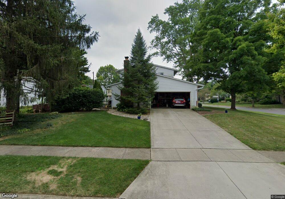
6558 Masefield St Worthington, OH 43085
Estimated Value: $586,648 - $650,000
4
Beds
3
Baths
2,176
Sq Ft
$281/Sq Ft
Est. Value
About This Home
This home is located at 6558 Masefield St, Worthington, OH 43085 and is currently estimated at $612,412, approximately $281 per square foot. 6558 Masefield St is a home located in Franklin County with nearby schools including Worthington Estates Elementary School, Worthingway Middle School, and Thomas Worthington High School.
Ownership History
Date
Name
Owned For
Owner Type
Purchase Details
Closed on
Feb 5, 2021
Sold by
Birinyi Frank
Bought by
Birinyi Frank and The Frank Birinyi Trust
Current Estimated Value
Purchase Details
Closed on
Jan 16, 2007
Sold by
Birinyi Frank and Wood Catherine L
Bought by
Birinyi Frank and Wood Catherine L
Purchase Details
Closed on
Mar 11, 1988
Bought by
Birinyi Frank
Purchase Details
Closed on
Mar 1, 1985
Create a Home Valuation Report for This Property
The Home Valuation Report is an in-depth analysis detailing your home's value as well as a comparison with similar homes in the area
Home Values in the Area
Average Home Value in this Area
Purchase History
| Date | Buyer | Sale Price | Title Company |
|---|---|---|---|
| Birinyi Frank | -- | None Available | |
| Birinyi Frank | -- | None Available | |
| Birinyi Frank | -- | Avery Title | |
| Birinyi Frank | $156,000 | -- | |
| -- | $120,000 | -- |
Source: Public Records
Tax History Compared to Growth
Tax History
| Year | Tax Paid | Tax Assessment Tax Assessment Total Assessment is a certain percentage of the fair market value that is determined by local assessors to be the total taxable value of land and additions on the property. | Land | Improvement |
|---|---|---|---|---|
| 2024 | $10,171 | $160,270 | $53,030 | $107,240 |
| 2023 | $9,740 | $160,265 | $53,025 | $107,240 |
| 2022 | $10,020 | $131,740 | $39,970 | $91,770 |
| 2021 | $9,265 | $131,740 | $39,970 | $91,770 |
| 2020 | $8,934 | $131,740 | $39,970 | $91,770 |
| 2019 | $8,421 | $112,390 | $39,970 | $72,420 |
| 2018 | $4,082 | $112,390 | $39,970 | $72,420 |
| 2017 | $7,464 | $110,810 | $39,970 | $70,840 |
| 2016 | $7,086 | $96,990 | $36,260 | $60,730 |
| 2015 | $3,544 | $96,990 | $36,260 | $60,730 |
| 2014 | $7,085 | $96,990 | $36,260 | $60,730 |
| 2013 | $3,358 | $92,365 | $34,545 | $57,820 |
Source: Public Records
Map
Nearby Homes
- 841 Troon Trail
- 6380 Plesenton Dr
- 477 Olenwood Ave
- 6577 Plesenton Dr S
- 210 Saint Antoine St Unit 25D
- 6908 Perry Dr
- 120 Caren Ave
- 64 Glen Dr
- 768 Nova Ct
- 6105 Flora Villa Dr
- 365 Pinney Dr
- 833 Bluffway Dr
- 551 Oxford St
- 838 Cambridge Ct
- 7187 Lorine Ct
- 1109 Bluffway Dr
- 675 Plymouth St
- 1380 Tiehack Ct
- 5818 Crescent Ct
- 7483 Ravens Nest Ct
- 549 Poe Ave
- 6540 Masefield St
- 6578 Masefield St
- 537 Poe Ave
- 6563 Masefield St
- 6555 Masefield St
- 550 Poe Ave
- 6547 Masefield St
- 6571 Masefield St
- 524 Longfellow Ave
- 540 Poe Ave
- 6539 Masefield St
- 527 Poe Ave
- 6579 Masefield St
- 530 Poe Ave
- 6528 Masefield St
- 514 Longfellow Ave
- 6590 Masefield St
- 547 Stevenson Ave
- 6529 Masefield St