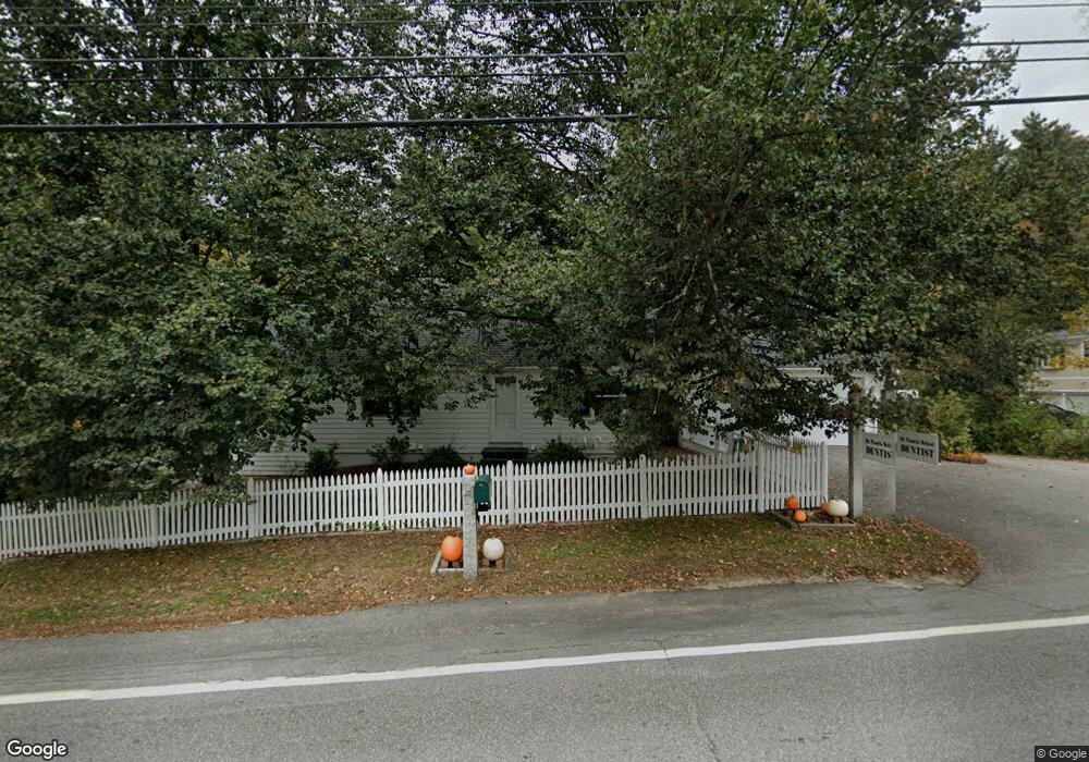
656 Main St Contoocook, NH 03229
Contoocook NeighborhoodEstimated Value: $542,000 - $596,778
2
Beds
3
Baths
2,916
Sq Ft
$198/Sq Ft
Est. Value
About This Home
This home is located at 656 Main St, Contoocook, NH 03229 and is currently estimated at $577,695, approximately $198 per square foot. 656 Main St is a home located in Merrimack County with nearby schools including Harold Martin School, Hopkinton Middle School, and The Contoocook School.
Create a Home Valuation Report for This Property
The Home Valuation Report is an in-depth analysis detailing your home's value as well as a comparison with similar homes in the area
Home Values in the Area
Average Home Value in this Area
Tax History Compared to Growth
Tax History
| Year | Tax Paid | Tax Assessment Tax Assessment Total Assessment is a certain percentage of the fair market value that is determined by local assessors to be the total taxable value of land and additions on the property. | Land | Improvement |
|---|---|---|---|---|
| 2024 | $13,219 | $571,500 | $131,400 | $440,100 |
| 2023 | $12,250 | $333,600 | $71,100 | $262,500 |
| 2022 | $11,296 | $333,600 | $71,100 | $262,500 |
| 2020 | $10,302 | $333,600 | $71,100 | $262,500 |
| 2019 | $10,262 | $333,600 | $71,100 | $262,500 |
| 2018 | $9,844 | $267,200 | $46,500 | $220,700 |
| 2017 | $9,470 | $260,100 | $46,500 | $213,600 |
| 2016 | $8,726 | $260,100 | $46,500 | $213,600 |
| 2015 | $8,745 | $260,100 | $46,500 | $213,600 |
| 2014 | $8,469 | $260,100 | $46,500 | $213,600 |
| 2013 | $8,214 | $285,800 | $80,700 | $205,100 |
Source: Public Records
Map
Nearby Homes
- 38 Woodwells Garrison Rd
- 108 Maple St
- 455 Maple St
- 104 River Grant Dr
- 0 Bound Tree Rd Unit 50 5060705
- 93-1 Pine St
- 0 Pine St Unit 38 5061613
- 0 Pine St Unit 50 5060731
- 656 Dolly Rd
- 2 Granite Valley
- 356 E Penacook Rd
- 89 Old Henniker Rd
- 1036 Bound Tree Rd
- 102 Fieldstone Rd
- 105 Clement Hill Rd
- 155 Pamela Dr
- 106 Stacey Dr
- 256 Irish Hill Rd
- 541 South Rd
- 148 Broad Cove Dr