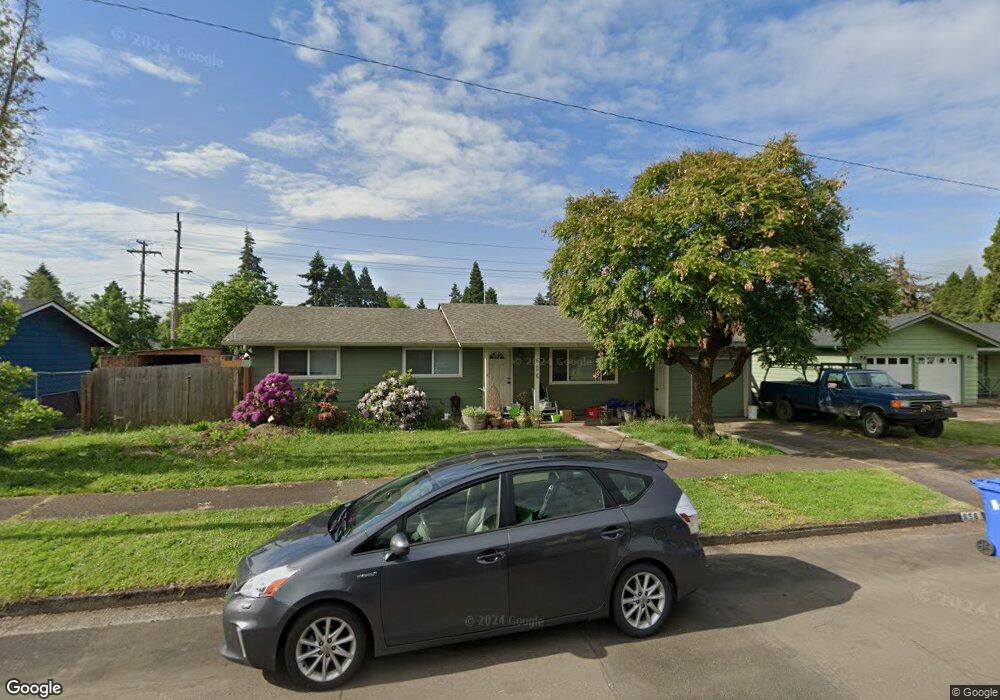
656 Ruby Ave Eugene, OR 97404
Santa Clara NeighborhoodEstimated Value: $382,661 - $427,000
4
Beds
2
Baths
1,447
Sq Ft
$281/Sq Ft
Est. Value
About This Home
This home is located at 656 Ruby Ave, Eugene, OR 97404 and is currently estimated at $406,915, approximately $281 per square foot. 656 Ruby Ave is a home located in Lane County with nearby schools including Spring Creek Elementary School, Madison Middle School, and North Eugene High School.
Ownership History
Date
Name
Owned For
Owner Type
Purchase Details
Closed on
Nov 18, 2008
Sold by
Smith Roy K and Smith Amy R
Bought by
Lane Stephen J and Lane Brunhild Rose I
Current Estimated Value
Purchase Details
Closed on
Sep 26, 2000
Sold by
Anderson Roy L
Bought by
Smith Roy K and Smith Amy R
Home Financials for this Owner
Home Financials are based on the most recent Mortgage that was taken out on this home.
Original Mortgage
$117,035
Interest Rate
7.98%
Mortgage Type
FHA
Create a Home Valuation Report for This Property
The Home Valuation Report is an in-depth analysis detailing your home's value as well as a comparison with similar homes in the area
Home Values in the Area
Average Home Value in this Area
Purchase History
| Date | Buyer | Sale Price | Title Company |
|---|---|---|---|
| Lane Stephen J | $114,000 | First American Title | |
| Smith Roy K | $118,000 | Western Pioneer Title Co |
Source: Public Records
Mortgage History
| Date | Status | Borrower | Loan Amount |
|---|---|---|---|
| Previous Owner | Smith Roy K | $117,035 |
Source: Public Records
Tax History
| Year | Tax Paid | Tax Assessment Tax Assessment Total Assessment is a certain percentage of the fair market value that is determined by local assessors to be the total taxable value of land and additions on the property. | Land | Improvement |
|---|---|---|---|---|
| 2025 | $2,868 | $175,715 | -- | -- |
| 2024 | $2,839 | $170,598 | -- | -- |
| 2023 | $2,839 | $165,630 | $0 | $0 |
| 2022 | $2,670 | $160,806 | $0 | $0 |
| 2021 | $2,480 | $156,123 | $0 | $0 |
| 2020 | $2,500 | $151,576 | $0 | $0 |
| 2019 | $2,411 | $147,162 | $0 | $0 |
| 2018 | $2,247 | $138,715 | $0 | $0 |
| 2017 | $2,163 | $138,715 | $0 | $0 |
| 2016 | $2,092 | $134,675 | $0 | $0 |
| 2015 | $2,014 | $130,752 | $0 | $0 |
| 2014 | $1,943 | $126,944 | $0 | $0 |
Source: Public Records
Map
Nearby Homes
- 541 Durham Ave
- 2563 York St
- 805 Impala Ave
- 2721 La Darrah St
- 303 Lenore Loop
- 2488 Northampton
- 1307 Bramblewood Ln
- 1755 Brentwood Ave
- 401 Sterling Dr
- 349 Irving Rd
- 2439 Quince St
- 215 Jonquil Ave
- 200 Irving Rd
- 193 Santa Clara Ave
- 1682 Hemlock St
- 1566 Maywood Ave
- 2580 Crowther Dr
- 2610 Crowther Dr
- 1880 Manihi Dr
- 2965 Teal Place
Your Personal Tour Guide
Ask me questions while you tour the home.