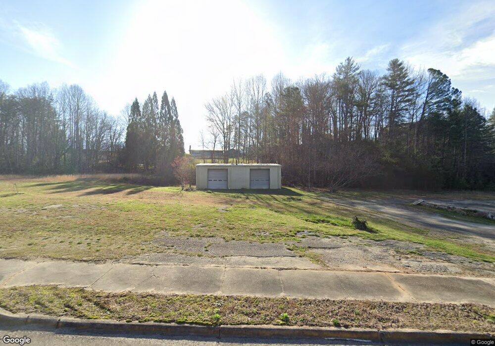
6560 Highway 441 N Dillard, GA 30537
Estimated Value: $111,236 - $576,000
--
Bed
--
Bath
2,000
Sq Ft
$172/Sq Ft
Est. Value
About This Home
This home is located at 6560 Highway 441 N, Dillard, GA 30537 and is currently estimated at $343,618, approximately $171 per square foot. 6560 Highway 441 N is a home with nearby schools including Rabun County Primary School, Rabun County High School, and Rabun Gap Nacoochee School.
Ownership History
Date
Name
Owned For
Owner Type
Purchase Details
Closed on
Jun 30, 2023
Sold by
Pennington Charles B
Bought by
Ventures Dillard
Current Estimated Value
Purchase Details
Closed on
Aug 1, 1995
Bought by
Pennington Sue Trustee
Purchase Details
Closed on
Jun 1, 1982
Create a Home Valuation Report for This Property
The Home Valuation Report is an in-depth analysis detailing your home's value as well as a comparison with similar homes in the area
Home Values in the Area
Average Home Value in this Area
Purchase History
| Date | Buyer | Sale Price | Title Company |
|---|---|---|---|
| Ventures Dillard | -- | -- | |
| Pennington Sue Trustee | -- | -- | |
| Pennington Sue Trustee | -- | -- | |
| -- | $25,000 | -- | |
| -- | $25,000 | -- |
Source: Public Records
Tax History Compared to Growth
Tax History
| Year | Tax Paid | Tax Assessment Tax Assessment Total Assessment is a certain percentage of the fair market value that is determined by local assessors to be the total taxable value of land and additions on the property. | Land | Improvement |
|---|---|---|---|---|
| 2025 | $152 | $9,440 | $3,360 | $6,080 |
| 2024 | $152 | $9,440 | $3,360 | $6,080 |
| 2023 | $173 | $9,440 | $3,360 | $6,080 |
| 2022 | $173 | $9,440 | $3,360 | $6,080 |
| 2021 | $211 | $11,244 | $3,360 | $7,884 |
| 2020 | $218 | $11,244 | $3,360 | $7,884 |
| 2019 | $220 | $11,244 | $3,360 | $7,884 |
| 2018 | $220 | $11,244 | $3,360 | $7,884 |
| 2017 | $211 | $11,244 | $3,360 | $7,884 |
| 2016 | $212 | $11,244 | $3,360 | $7,884 |
| 2015 | $217 | $11,244 | $3,360 | $7,884 |
| 2014 | $426 | $21,988 | $3,360 | $18,628 |
Source: Public Records
Map
Nearby Homes
- 0 Us-441 S Unit 10226435
- 0 N U S 441 NW Unit 10489249
- 208 Colony Rd
- 0 Wolffork Rd Unit 10624471
- 205 Carolina St
- 476 Franklin St
- 0 Ledford Rd Unit 10436918
- 0 Uplander Unit 10628218
- 0 Uplander Unit M181832
- LOT 18 Wynngate Dr
- 571 Ledford Rd
- 0 Smokey Hollow Dr Unit LOT 27 10561110
- LOT 113 Mountain Ridge Dr
- LOT 112 Mountain Ridge Dr
- 1500 Park Vista Trail
- 0 Zoellner Ln
- LOT SM4 Raven Fork Trail
- 0 Sheep Cliff Way Unit 10533863
- 0 Winter Ct Unit 35 10139164
- 0 Lamb Rd Unit 10573604
- 0 Hwy 441 Unit 2663014
- 0 Hwy 441 Unit 8075901
- 0 Us-441 S Unit 20110458
- 0 Us-441 S Unit 10141505
- 0 Us-441 S Unit 10141498
- 0 Us-441 S Unit 7305156
- 0 Us-441 S Unit 20144180
- 0 Us-441 S
- 935 Franklin St
- 897 Franklin St
- 975 Franklin St
- 957 Franklin St
- 6676 U S 441
- 27 Back St Unit PT 47-49
- 27 Back St
- 6676 Us-441 S
- 0 Highway 441 N Unit 20121009
- 11 Back St
- 6446 Hwy 441 N
- 6676 Highway 441