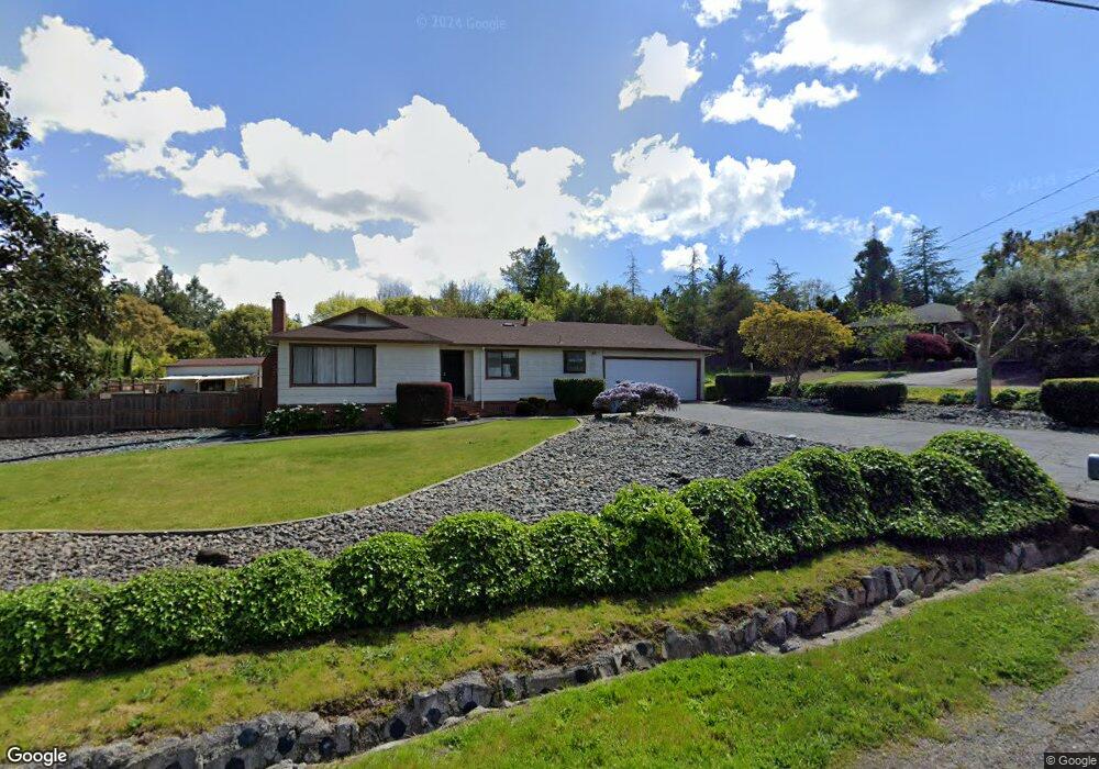
6567 Rutgers Dr Sebastopol, CA 95472
Estimated Value: $777,309 - $1,121,000
2
Beds
2
Baths
1,184
Sq Ft
$775/Sq Ft
Est. Value
About This Home
This home is located at 6567 Rutgers Dr, Sebastopol, CA 95472 and is currently estimated at $917,827, approximately $775 per square foot. 6567 Rutgers Dr is a home located in Sonoma County with nearby schools including Analy High School, Sunridge Charter School, and Gravenstein Elementary School.
Ownership History
Date
Name
Owned For
Owner Type
Purchase Details
Closed on
Jul 27, 1998
Sold by
Baker Charles H and Baker Lois A
Bought by
Baker Charles H and Baker Lois A
Current Estimated Value
Home Financials for this Owner
Home Financials are based on the most recent Mortgage that was taken out on this home.
Original Mortgage
$125,000
Interest Rate
6.9%
Create a Home Valuation Report for This Property
The Home Valuation Report is an in-depth analysis detailing your home's value as well as a comparison with similar homes in the area
Home Values in the Area
Average Home Value in this Area
Purchase History
| Date | Buyer | Sale Price | Title Company |
|---|---|---|---|
| Baker Charles H | -- | Fidelity National Title | |
| Baker Charles H | -- | Fidelity National Title |
Source: Public Records
Mortgage History
| Date | Status | Borrower | Loan Amount |
|---|---|---|---|
| Closed | Baker Charles H | $125,000 |
Source: Public Records
Tax History Compared to Growth
Tax History
| Year | Tax Paid | Tax Assessment Tax Assessment Total Assessment is a certain percentage of the fair market value that is determined by local assessors to be the total taxable value of land and additions on the property. | Land | Improvement |
|---|---|---|---|---|
| 2025 | $1,507 | $97,185 | $22,559 | $74,626 |
| 2024 | $1,507 | $95,280 | $22,117 | $73,163 |
| 2023 | $1,507 | $93,413 | $21,684 | $71,729 |
| 2022 | $1,399 | $91,582 | $21,259 | $70,323 |
| 2021 | $1,402 | $89,788 | $20,843 | $68,945 |
| 2020 | $1,452 | $88,869 | $20,630 | $68,239 |
| 2019 | $1,196 | $87,127 | $20,226 | $66,901 |
| 2018 | $1,181 | $85,420 | $19,830 | $65,590 |
| 2017 | $1,140 | $83,746 | $19,442 | $64,304 |
| 2016 | $1,114 | $82,105 | $19,061 | $63,044 |
| 2015 | $1,084 | $80,873 | $18,775 | $62,098 |
| 2014 | $1,066 | $79,290 | $18,408 | $60,882 |
Source: Public Records
Map
Nearby Homes
- 2550 Hwy 116 S
- 447 Sparkes Rd
- 1466 Cooper Rd
- 1171 Gravenstein Hwy S
- 1415 Schaeffer Rd
- 8061 Elphick Rd
- 6720 Evergreen Ave
- 6781 Evergreen Ave
- 6917 Redwood Ave
- 7086 Fircrest Ave
- 5111 Todd Rd
- 7251 Fircrest Ave
- 3765 Twig Ave
- 830 Litchfield Ave
- 3790 Gravenstein Hwy S
- 5301 Gravenstein Hwy S
- 3920 Gravenstein Hwy S
- 5301 Hutchinson Rd
- 3960 Llano Rd
- 1850 Blucher Valley Rd
- 6563 Rutgers Dr
- 201 Princeton Dr
- 395 Princeton Dr
- 6501 Rutgers Dr
- 290 Greenwood Terrace
- 6550 Rutgers Dr
- 6662 Harvard Dr
- 6577 Rutgers Dr
- 246 Greenwood Terrace
- 6666 Harvard Dr
- 6560 Rutgers Dr
- 397 Princeton Dr
- 6580 Rutgers Dr
- 6670 Harvard Dr
- 6443 Rutgers Dr
- 6581 Rutgers Dr
- 6431 Rutgers Dr
- 6675 Harvard Dr
- 242 Greenwood Terrace
- 6674 Harvard Dr