6569 Hill Rd Coloma, MI 49038
Estimated Value: $214,000 - $379,000
4
Beds
4
Baths
2,523
Sq Ft
$108/Sq Ft
Est. Value
About This Home
This home is located at 6569 Hill Rd, Coloma, MI 49038 and is currently estimated at $272,428, approximately $107 per square foot. 6569 Hill Rd is a home located in Berrien County with nearby schools including Coloma Elementary School, Coloma Intermediate School, and Coloma Junior High School.
Ownership History
Date
Name
Owned For
Owner Type
Purchase Details
Closed on
Sep 15, 2017
Sold by
Moxley Austin and Moxley Kristy
Bought by
Prince Shawn
Current Estimated Value
Home Financials for this Owner
Home Financials are based on the most recent Mortgage that was taken out on this home.
Original Mortgage
$111,578
Outstanding Balance
$60,175
Interest Rate
3.9%
Mortgage Type
New Conventional
Estimated Equity
$212,253
Purchase Details
Closed on
Nov 23, 2005
Sold by
Shirley Dannie L
Bought by
Moxley Austin and Moxley Kristy
Home Financials for this Owner
Home Financials are based on the most recent Mortgage that was taken out on this home.
Original Mortgage
$84,800
Interest Rate
7.85%
Mortgage Type
Fannie Mae Freddie Mac
Purchase Details
Closed on
Jul 19, 1994
Create a Home Valuation Report for This Property
The Home Valuation Report is an in-depth analysis detailing your home's value as well as a comparison with similar homes in the area
Home Values in the Area
Average Home Value in this Area
Purchase History
| Date | Buyer | Sale Price | Title Company |
|---|---|---|---|
| Prince Shawn | $117,450 | First American Title | |
| Moxley Austin | -- | None Available | |
| -- | $60,000 | -- |
Source: Public Records
Mortgage History
| Date | Status | Borrower | Loan Amount |
|---|---|---|---|
| Open | Prince Shawn | $111,578 | |
| Previous Owner | Moxley Austin | $84,800 |
Source: Public Records
Tax History Compared to Growth
Tax History
| Year | Tax Paid | Tax Assessment Tax Assessment Total Assessment is a certain percentage of the fair market value that is determined by local assessors to be the total taxable value of land and additions on the property. | Land | Improvement |
|---|---|---|---|---|
| 2025 | $1,583 | $99,700 | $0 | $0 |
| 2024 | $960 | $96,600 | $0 | $0 |
| 2023 | $914 | $87,200 | $0 | $0 |
| 2022 | $870 | $74,300 | $0 | $0 |
| 2021 | $1,456 | $68,600 | $2,400 | $66,200 |
| 2020 | $1,438 | $67,300 | $0 | $0 |
| 2019 | $1,411 | $60,500 | $3,800 | $56,700 |
| 2018 | $2,272 | $60,500 | $0 | $0 |
| 2017 | $1,206 | $63,300 | $0 | $0 |
| 2016 | $2,174 | $61,600 | $0 | $0 |
| 2015 | $2,172 | $55,400 | $0 | $0 |
| 2014 | $698 | $55,000 | $0 | $0 |
Source: Public Records
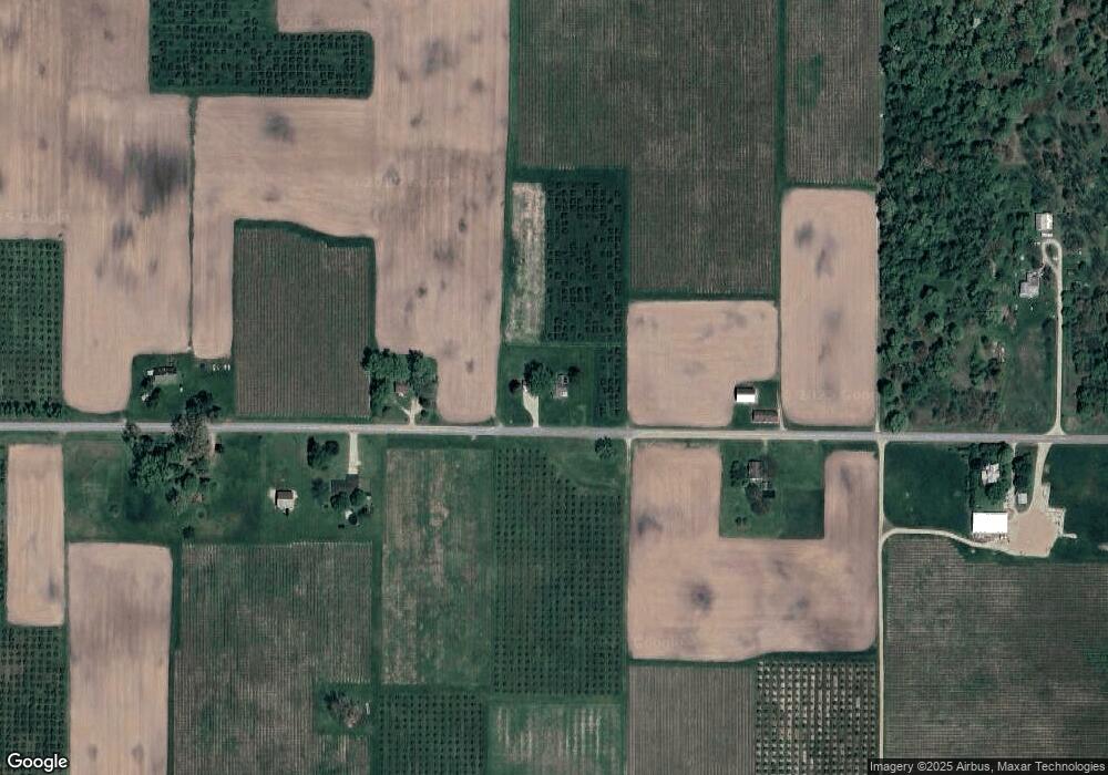
Map
Nearby Homes
- 1360 Friday Rd
- 2611 Friday Rd
- 1370 N Park Rd
- 1980 Angling Rd
- 1955 Angling Rd
- 6660 Pine Rd
- 5310 N Branch Rd
- 0 Mountain Rd
- 6808 Territorial Rd
- 2900 Boyer Rd
- 00 Stratton Lot 6 Rd
- 5544 Wendzel Dr
- 1287 Maner Rd
- 6582 Ryno Rd
- 5570 Territorial Rd
- 260 W Saint Joseph St
- 236 E Saint Joseph St
- 483 2nd St
- 0 Highway M-140
- 4540 Ross Dr