657 Beach Rd Mc Lain, MS 39456
Estimated Value: $100,000 - $161,000
1
Bed
1
Bath
960
Sq Ft
$136/Sq Ft
Est. Value
About This Home
This home is located at 657 Beach Rd, Mc Lain, MS 39456 and is currently estimated at $130,500, approximately $135 per square foot. 657 Beach Rd is a home with nearby schools including Greene County High School.
Create a Home Valuation Report for This Property
The Home Valuation Report is an in-depth analysis detailing your home's value as well as a comparison with similar homes in the area
Tax History
| Year | Tax Paid | Tax Assessment Tax Assessment Total Assessment is a certain percentage of the fair market value that is determined by local assessors to be the total taxable value of land and additions on the property. | Land | Improvement |
|---|---|---|---|---|
| 2025 | -- | $8,506 | $0 | $0 |
| 2024 | -- | $7,252 | $0 | $0 |
| 2023 | $0 | $7,317 | $0 | $0 |
| 2022 | $0 | $7,381 | $0 | $0 |
| 2021 | $662 | $7,457 | $0 | $0 |
| 2020 | $662 | $7,249 | $0 | $0 |
| 2019 | $662 | $7,335 | $0 | $0 |
| 2018 | $753 | $7,978 | $0 | $0 |
| 2017 | $7 | $7,879 | $0 | $0 |
| 2015 | $633 | $7,549 | $0 | $0 |
| 2014 | $610 | $7,351 | $0 | $0 |
| 2013 | -- | $7,190 | $0 | $0 |
Source: Public Records
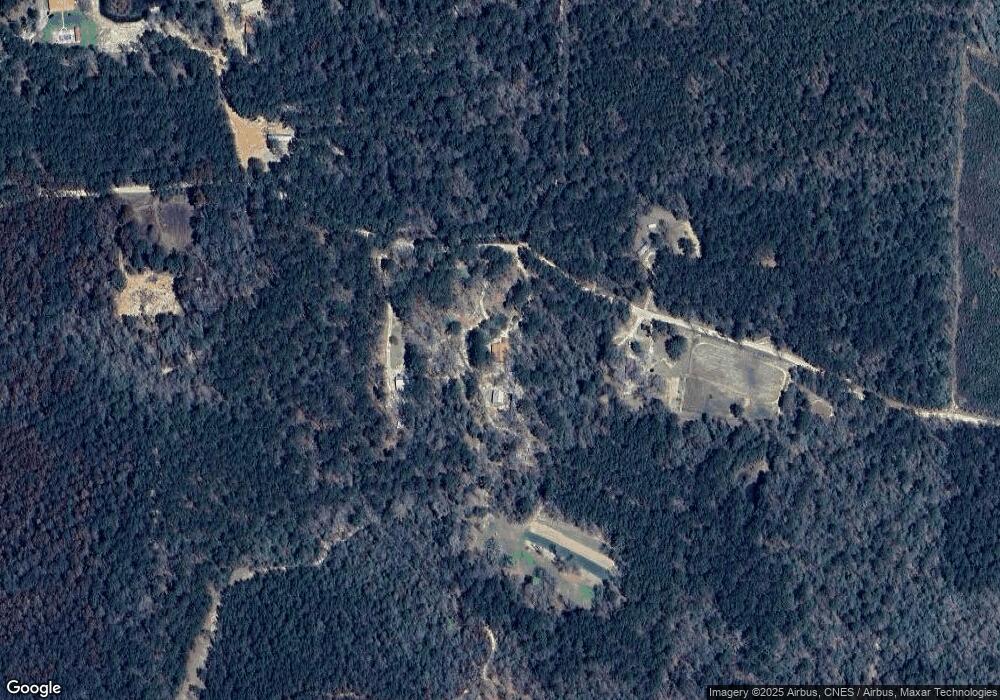
Map
Nearby Homes
- 10499 Highway 57
- 56 Mol Ac Jerico Loop
- Nsn Mount Rose Cir
- Salem Rd
- 0 Merrill Salem Rd
- Tbn Mississippi 57
- 0 Hack's Rd
- 0 Corbit Blvd Unit 4133748
- 3ac Highway 198
- 0 Hwy 57 Unit 4126345
- NSN Mississippi 57
- 301 Woods Rd
- 10.4 Mol Ac Pete Miles Rd
- 0 Mount Sinai Cemetery Rd
- - Mount Sinai Cemetery Rd
- 119 Tadpole Ln
- 0 Nhn 00 Us-98
- 0 Nhn 01 Us-98
- NHN 01 US Highway 98
- NHN 00 US Highway 98
Your Personal Tour Guide
Ask me questions while you tour the home.