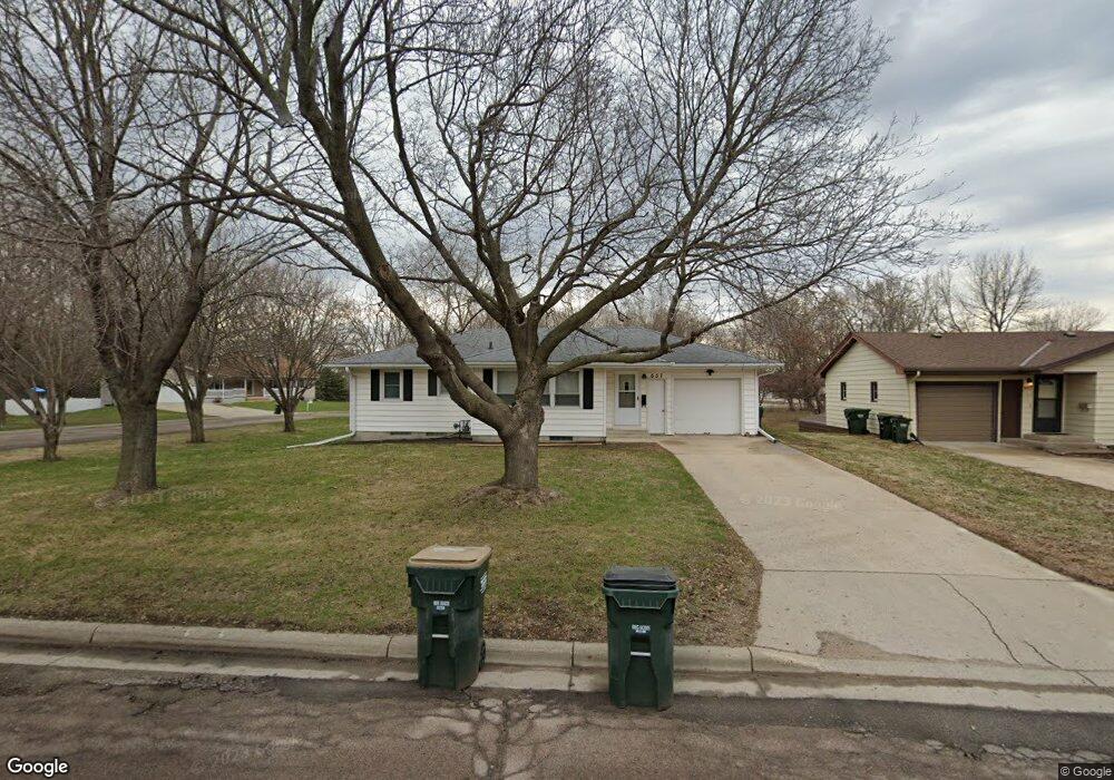
657 Bluff St NE Hutchinson, MN 55350
Estimated Value: $230,000 - $312,000
3
Beds
2
Baths
1,052
Sq Ft
$240/Sq Ft
Est. Value
About This Home
This home is located at 657 Bluff St NE, Hutchinson, MN 55350 and is currently estimated at $252,700, approximately $240 per square foot. 657 Bluff St NE is a home located in McLeod County with nearby schools including Hutchinson West Elementary School, Hutchinson Park Elementary School, and Hutchinson Middle School.
Ownership History
Date
Name
Owned For
Owner Type
Purchase Details
Closed on
Aug 29, 2018
Sold by
West Lori and West Michael
Bought by
Showalter Joseph L
Current Estimated Value
Home Financials for this Owner
Home Financials are based on the most recent Mortgage that was taken out on this home.
Original Mortgage
$155,050
Outstanding Balance
$135,225
Interest Rate
4.6%
Mortgage Type
New Conventional
Estimated Equity
$117,475
Create a Home Valuation Report for This Property
The Home Valuation Report is an in-depth analysis detailing your home's value as well as a comparison with similar homes in the area
Home Values in the Area
Average Home Value in this Area
Purchase History
| Date | Buyer | Sale Price | Title Company |
|---|---|---|---|
| Showalter Joseph L | $153,500 | Title Mark Llc |
Source: Public Records
Mortgage History
| Date | Status | Borrower | Loan Amount |
|---|---|---|---|
| Open | Showalter Joseph L | $155,050 |
Source: Public Records
Tax History Compared to Growth
Tax History
| Year | Tax Paid | Tax Assessment Tax Assessment Total Assessment is a certain percentage of the fair market value that is determined by local assessors to be the total taxable value of land and additions on the property. | Land | Improvement |
|---|---|---|---|---|
| 2024 | $2,502 | $198,700 | $53,100 | $145,600 |
| 2023 | $2,522 | $192,800 | $53,100 | $139,700 |
| 2022 | $2,298 | $185,700 | $49,300 | $136,400 |
| 2021 | $2,128 | $157,100 | $43,100 | $114,000 |
| 2020 | $2,078 | $141,500 | $39,200 | $102,300 |
| 2019 | $2,054 | $135,700 | $39,200 | $96,500 |
| 2018 | $1,898 | $0 | $0 | $0 |
| 2017 | $1,758 | $0 | $0 | $0 |
| 2016 | $1,670 | $0 | $0 | $0 |
| 2015 | $1,502 | $0 | $0 | $0 |
| 2014 | -- | $0 | $0 | $0 |
Source: Public Records
Map
Nearby Homes
- 648 Bluff St NE
- 635 Hillcrest Rd NE
- 584 Bluff St NE
- 525 Bluff St NE
- 524 Bluff St NE
- 725 Maple St NE
- 321 Highway 7 E
- 727 Ash St NE
- 207 4th Ave NE
- 132 College Ave NE
- 1534 9th Ave SW
- 505/515 Hilltop Canyon NE
- 236 10th Ave NE
- 245 10th Ave NE
- 205 10th Ave NE
- 255 10th Ave NE
- 216 10th Ave NE
- 215 10th Ave NE
- 225 10th Ave NE
- 839 Hilltop Dr NE
- 647 Bluff St NE
- 647 647 Bluff St NE
- 647 647 Bluff-Street-ne
- 637 Bluff St NE
- 637 Bluff St NE
- 667 Bluff St NE
- 645 Waller Dr NE Unit 1
- 626 Waller Dr NE
- 626 Waller Dr NE
- 655 Waller Dr NE
- 627 Bluff St NE
- 677 Bluff St NE
- 638 Bluff St NE
- 632 632 Ne Bluff St
- 632 632 Bluff St NE
- 658 Bluff St NE
- 658 Bluff St NE
- 617 Bluff St NE
- 687 Bluff St NE
- 687 Bluff St NE