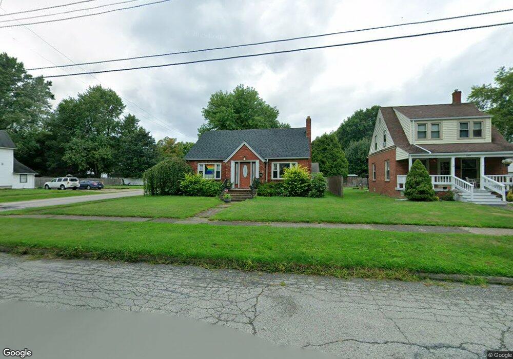
657 Buffalo St Conneaut, OH 44030
Estimated Value: $107,000 - $135,050
3
Beds
1
Bath
1,694
Sq Ft
$69/Sq Ft
Est. Value
About This Home
This home is located at 657 Buffalo St, Conneaut, OH 44030 and is currently estimated at $117,263, approximately $69 per square foot. 657 Buffalo St is a home located in Ashtabula County with nearby schools including Lakeshore Primary Elementary School, Gateway Elementary School, and Conneaut Middle School.
Ownership History
Date
Name
Owned For
Owner Type
Purchase Details
Closed on
Dec 3, 2019
Sold by
Quaglia Mauro
Bought by
Quaglia Angelo
Current Estimated Value
Purchase Details
Closed on
Jul 2, 2015
Sold by
Quaglia Carmela
Bought by
Quaglia Mauro and Quaglia Angelo
Purchase Details
Closed on
Oct 7, 2010
Sold by
Jessup Thomas J
Bought by
Quaglia Buonaventura and Quaglia Carmela
Create a Home Valuation Report for This Property
The Home Valuation Report is an in-depth analysis detailing your home's value as well as a comparison with similar homes in the area
Home Values in the Area
Average Home Value in this Area
Purchase History
| Date | Buyer | Sale Price | Title Company |
|---|---|---|---|
| Quaglia Angelo | $18,750 | Chicago Title | |
| Quaglia Mauro | -- | Attorney | |
| Quaglia Buonaventura | $47,000 | Chicago Title |
Source: Public Records
Tax History Compared to Growth
Tax History
| Year | Tax Paid | Tax Assessment Tax Assessment Total Assessment is a certain percentage of the fair market value that is determined by local assessors to be the total taxable value of land and additions on the property. | Land | Improvement |
|---|---|---|---|---|
| 2024 | $1,923 | $26,290 | $3,750 | $22,540 |
| 2023 | $1,247 | $26,290 | $3,750 | $22,540 |
| 2022 | $1,090 | $20,240 | $2,910 | $17,330 |
| 2021 | $1,090 | $20,240 | $2,910 | $17,330 |
| 2020 | $1,089 | $20,240 | $2,910 | $17,330 |
| 2019 | $723 | $13,130 | $1,610 | $11,520 |
| 2018 | $689 | $13,130 | $1,610 | $11,520 |
| 2017 | $344 | $13,130 | $1,610 | $11,520 |
| 2016 | $734 | $15,340 | $1,860 | $13,480 |
| 2015 | $742 | $15,340 | $1,860 | $13,480 |
| 2014 | $654 | $15,340 | $1,860 | $13,480 |
| 2013 | $860 | $20,800 | $2,840 | $17,960 |
Source: Public Records
Map
Nearby Homes
- 644 Mill St
- 622 Harbor St
- 770 Buffalo St
- 169 River St
- 536 Mill St
- 375 Bliss Ave
- 427 Harbor St
- 413 Harbor St
- 0 Chestnut St Unit 5120761
- 402 Broad St
- 386 Washington St
- 179 Marshall St
- 992 Mill St
- 146 Nickle Plate Ave
- 289 Harbor St
- 973 Buffalo St
- 284 Clay St
- 143 Evergreen St
- 1025 Harbor St Unit 35
- 474 Sherman St
- 659 Buffalo St
- 661 Buffalo St
- 637 Buffalo St
- 660 Sandusky St
- 631 Buffalo St
- 642 Sandusky St
- 650 Buffalo St
- 634 Buffalo St
- 625 Buffalo St
- 662 Buffalo St
- 672 Sandusky St
- 675 Buffalo St
- 638 Sandusky St
- 630 Buffalo St
- 621 Buffalo St
- 674 Sandusky St
- 672 Buffalo St
- 667 Sandusky St
- 624 Buffalo St
- 632 Sandusky St